Old Maps of Haleburg, Alabama for Hiking & Exploration
Hike through history with 16 historic maps of Haleburg. Explore old trails, ghost towns, and forgotten backroads — perfect for outdoor adventurers and local explorers.
- Rediscover forgotten places: Map out old mining camps, roads, and footpaths that no longer exist on modern maps.
- Layer with modern tools: Combine with LiDAR or satellite views to plan hikes through historical terrain.
- Made for exploration: Popular among hikers, overlanders, and local history lovers.
Use these maps to find adventure and explore the hidden past of Haleburg.
Haleburg, AL maps
(16)- 1953 Map of Dothan, 1966 Print
 1953 Dothan1966 Print · USGSSoutheast Alabama and Southwest Georgia are captured during a period of massive hydraulic and military expansion in the mid-fifties. Genealogists and historians can trace rural landmarks like Antioch Church and School, the Andrew Jackson Monument, and the early footprint of Fort Rucker Military Reservation.3 unique versions available
 - 1954 Map of Dothan
 1954 Dothan1954 Print · USGSSoutheast Alabama and Southwest Georgia are seen here in the mid-fifties, during a decade of military expansion and rural transition. Genealogists can trace the location of country schools like Little Zion School or the grounds of Kolomoki Mounds State Park.
 - 1955 Map of Dothan
 1955 Dothan1955 Print · USGSSoutheast Alabama and Southwest Georgia are captured here in the mid-fifties, showing a landscape of river-port history and growing military bases. Researchers can trace rural life via the Andrew Jackson Monument, Bauxite mines, and the Central of Georgia RR.
 - 1970 Map of Columbia NE, 1972 Print
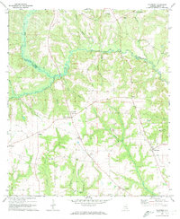
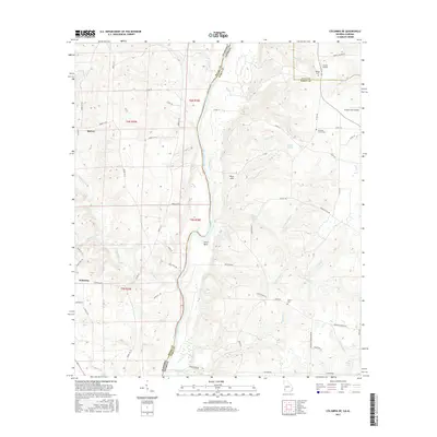
 1970 Columbia NE1972 Print · USGSThe Chattahoochee River forms the border between Alabama and Georgia in this early 1970s view of the rural river valley. Researchers can trace historic river access at Gilbert Landing or locate local family landmarks like Bellevue Cem Ch and Haleburg.
 - 1970 Map of Haleburg, 1972 Print
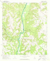
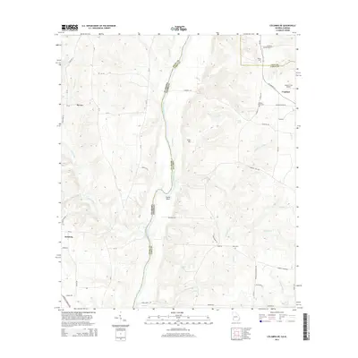
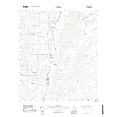
 1970 Haleburg1972 Print · USGSEastern Henry County in the early seventies remained a landscape of quiet rural hamlets and creek-side settlements. Genealogists and local historians can locate many family landmarks, from Hardwickburg and Balkum to country churches like Piney Grove Ch and Balkum Chapel.2 unique versions available
 - 1981 Map of Dothan, 1982 Print
 1981 Dothan1982 Print · USGSSoutheast Alabama and the tri-state border region are shown here in the early 1980s as the area thrived on military and rail connectivity. Researchers can trace historic transit lines like the Hartford and Slocomb railroad or locate family roots in Ozark, Headland, and Geneva.
 - 2011 Map of Columbia NE, 2011 Print
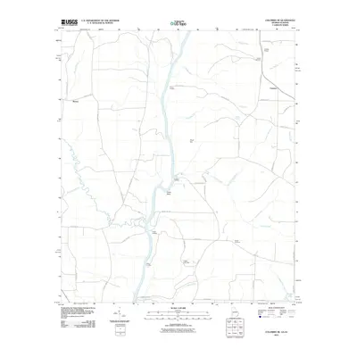 2011 Columbia NE2011 Print · USGSCovers Haleburg, including Barnes, Urquhart, and other nearby areas
 - 2011 Map of Haleburg, 2011 Print
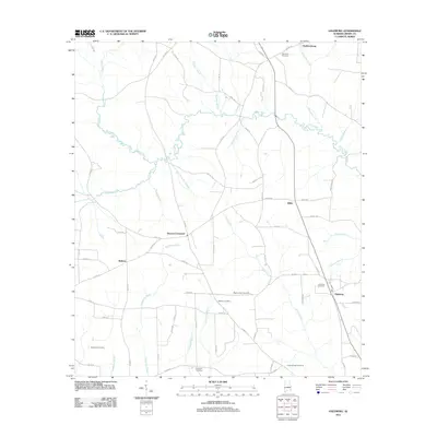 2011 Haleburg2011 Print · USGSCovers Haleburg, including Balkum, Hardwickburg, and other nearby areas
 - 2014 Map of Columbia NE, 2014 Print
 2014 Columbia NE2014 Print · USGSCovers Haleburg, including Barnes, Urquhart, and other nearby areas
 - 2014 Map of Haleburg, 2014 Print
 2014 Haleburg2014 Print · USGSCovers Haleburg, including Balkum, Hardwickburg, and other nearby areas
 - 2017 Map of Columbia NE, 2017 Print
 2017 Columbia NE2017 Print · USGSCovers Haleburg, including Barnes, Urquhart, and other nearby areas
 - 2018 Map of Haleburg, 2018 Print
 2018 Haleburg2018 Print · USGSCovers Haleburg, including Balkum, Hardwickburg, and other nearby areas
 - 2020 Map of Columbia NE, 2020 Print
 2020 Columbia NE2020 Print · USGSCovers Haleburg, including Barnes, Urquhart, and other nearby areas
 - 2020 Map of Haleburg, 2020 Print
 2020 Haleburg2020 Print · USGSCovers Haleburg, including Balkum, Hardwickburg, and other nearby areas
 - 2024 Map of Haleburg, 2024 Print
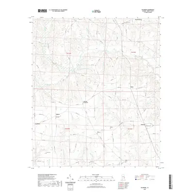
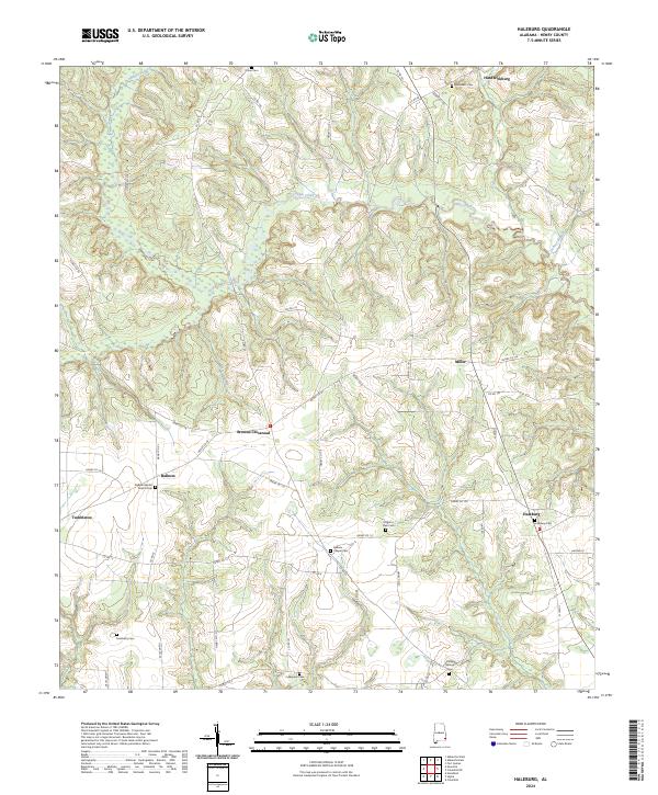 2024 Haleburg2024 Print · USGSSoutheast Alabama's rural Henry County is documented here in the early twenty-first century, showing a landscape defined by creeks and crossroad communities. Genealogists can trace family names and locations through many sites like Balkum Chapel Cem, Haleburg Cem, and Tumbleton.
 - 2024 Map of Columbia NE, 2024 Print
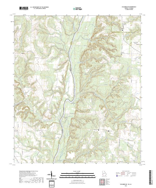 2024 Columbia NE2024 Print · USGSThe Chattahoochee River border between Georgia and Alabama remains a focal point for rural life and river transit in this contemporary survey. Researchers can trace family history through sites like Pleasant Grove Cem or locate the site of McKissacks Ferry and the Barnes settlement.
End of results
Showing maps 1-16 of 16
Top cities near Haleburg
- Dothan historical maps
- Headland historical maps
- Blakely historical maps
- Abbeville historical maps
- Ashford historical maps
- Kinsey historical maps
See more
Frequently asked questions
- What are the different types of historical maps available for Haleburg?
- What is the oldest map of Haleburg?
- Where can I purchase historical maps of Haleburg for my home or office?
- Where can I download high-res historical maps of Haleburg?
- Are there historical topographic maps available for Haleburg?
- Is there historical aerial imagery available for Haleburg?
- Where are historical maps of Haleburg sourced from?