2000s (21st Century) Maps of Dothan, Alabama
Explore 30 historic maps of Dothan from the 2000s (21st Century). These maps offer a rare glimpse into what life looked like during the 2000s — showing old roads, neighborhoods, homes, and landmarks that have changed or disappeared over time.
Whether you're researching your family's past, planning a metal detecting trip, or studying how Dothan's landscape evolved across the 2000s, these high-resolution maps are a powerful tool for exploring the history of this region.
- Focus on a specific era: All maps on this page are from the 2000s, giving you a focused view of this time period.
- See what’s changed: Compare century-old streets, trails, and buildings to today's modern landscape using overlays and satellite layers.
- Research with precision: Use these maps for genealogy, historical research, land use analysis, or educational projects.
- View, download, or print: Maps are fully viewable online in high resolution, and can be downloaded or printed for your own records.
Start exploring Dothan's history through authentic maps from the 2000s. This is your window into the past.
Dothan, AL maps
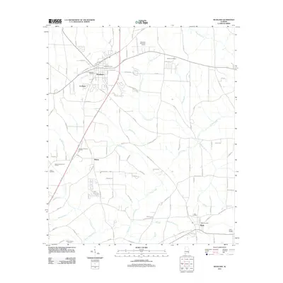
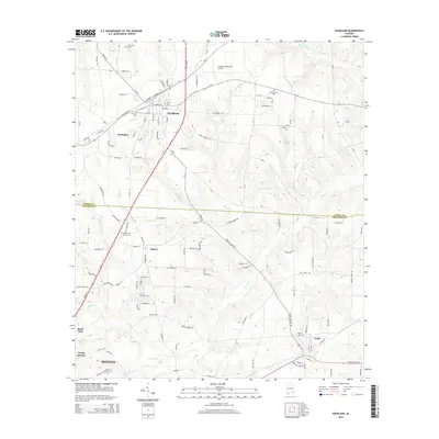
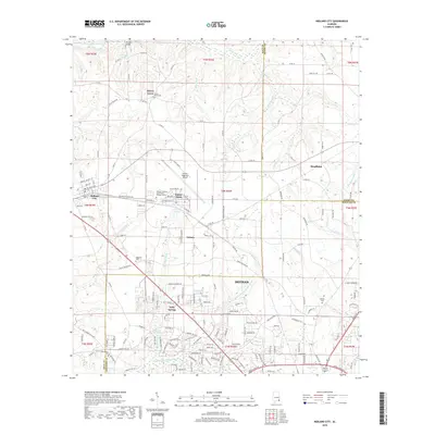
(30)- 2011 Map of Midland City, 2011 Print
 2011 Midland City2011 Print · USGSCovers Dothan, including Headland, Midland City, and other nearby areas
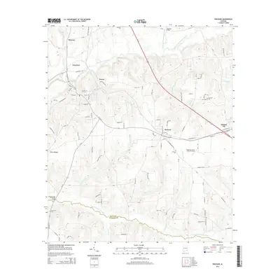
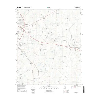
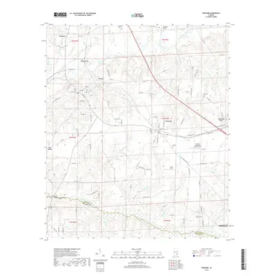
 - 2011 Map of Pinckard, 2011 Print
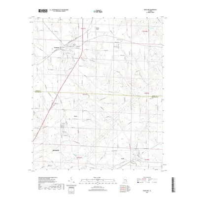
 2011 Pinckard2011 Print · USGSCovers Dothan, including Midland City, Newton, and other nearby areas
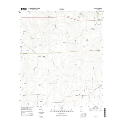
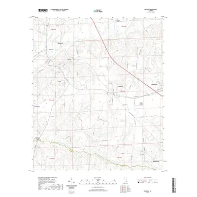
 - 2011 Map of Malvern, 2011 Print
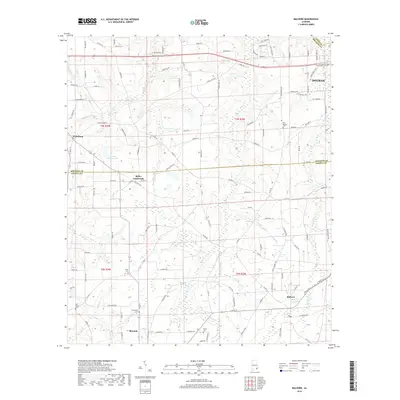
 2011 Malvern2011 Print · USGSCovers Dothan, including Slocomb, Malvern, and other nearby areas
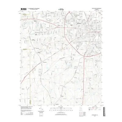
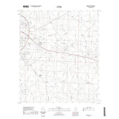
 - 2011 Map of Dothan East, 2011 Print
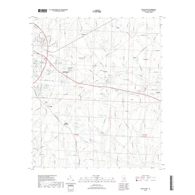
 2011 Dothan East2011 Print · USGSCovers Dothan, including Ashford, Cowarts, and other nearby areas
 - 2011 Map of Headland, 2011 Print
 2011 Headland2011 Print · USGSCovers Dothan, including Headland, Kinsey, and other nearby areas
 - 2011 Map of Dothan West, 2011 Print
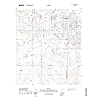
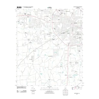 2011 Dothan West2011 Print · USGSCovers Dothan, including Taylor, Rehobeth, and other nearby areas
 - 2014 Map of Pinckard, 2014 Print
 2014 Pinckard2014 Print · USGSCovers Dothan, including Midland City, Newton, and other nearby areas
 - 2014 Map of Dothan West, 2014 Print
 2014 Dothan West2014 Print · USGSCovers Dothan, including Taylor, Rehobeth, and other nearby areas
 - 2014 Map of Headland, 2014 Print
 2014 Headland2014 Print · USGSCovers Dothan, including Headland, Kinsey, and other nearby areas
 - 2014 Map of Dothan East, 2014 Print
 2014 Dothan East2014 Print · USGSCovers Dothan, including Ashford, Cowarts, and other nearby areas
 - 2014 Map of Malvern, 2014 Print
 2014 Malvern2014 Print · USGSCovers Dothan, including Slocomb, Malvern, and other nearby areas
 - 2014 Map of Midland City, 2014 Print
 2014 Midland City2014 Print · USGSCovers Dothan, including Headland, Midland City, and other nearby areas
 - 2018 Map of Headland, 2018 Print
 2018 Headland2018 Print · USGSCovers Dothan, including Headland, Kinsey, and other nearby areas
 - 2018 Map of Dothan East, 2018 Print
 2018 Dothan East2018 Print · USGSCovers Dothan, including Ashford, Cowarts, and other nearby areas
 - 2018 Map of Dothan West, 2018 Print
 2018 Dothan West2018 Print · USGSCovers Dothan, including Taylor, Rehobeth, and other nearby areas
 - 2018 Map of Malvern, 2018 Print
 2018 Malvern2018 Print · USGSCovers Dothan, including Slocomb, Malvern, and other nearby areas
 - 2018 Map of Midland City, 2018 Print
 2018 Midland City2018 Print · USGSCovers Dothan, including Headland, Midland City, and other nearby areas
 - 2018 Map of Pinckard, 2018 Print
 2018 Pinckard2018 Print · USGSCovers Dothan, including Midland City, Newton, and other nearby areas
 - 2020 Map of Pinckard, 2020 Print
 2020 Pinckard2020 Print · USGSCovers Dothan, including Midland City, Newton, and other nearby areas
 - 2020 Map of Dothan East, 2020 Print
 2020 Dothan East2020 Print · USGSCovers Dothan, including Ashford, Cowarts, and other nearby areas
 - 2020 Map of Malvern, 2020 Print
 2020 Malvern2020 Print · USGSCovers Dothan, including Slocomb, Malvern, and other nearby areas
 - 2020 Map of Headland, 2020 Print
 2020 Headland2020 Print · USGSCovers Dothan, including Headland, Kinsey, and other nearby areas
 - 2020 Map of Dothan West, 2020 Print
 2020 Dothan West2020 Print · USGSCovers Dothan, including Taylor, Rehobeth, and other nearby areas
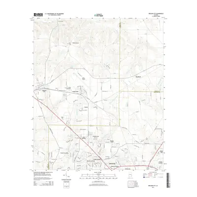
 - 2020 Map of Midland City, 2020 Print
 2020 Midland City2020 Print · USGSCovers Dothan, including Headland, Midland City, and other nearby areas
 - 2024 Map of Headland, 2024 Print
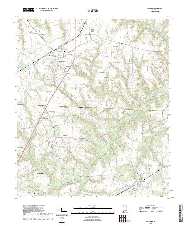 2024 Headland2024 Print · USGSHeadland and northern Dothan are captured in this recent survey of the Henry and Houston county borderlands. Researchers can locate family sites at Bethlehem Cem or Gardens of Memory Cem and trace the waters of Omusee Creek toward Webb.
Showing maps 1-25 of 30
Top cities near Dothan
- Ozark historical maps
- Headland historical maps
- Taylor historical maps
- Ashford historical maps
- Midland City historical maps
- Kinsey historical maps
See more
Top neighborhoods of Dothan
- Mullins historical maps
- Brannon Stand historical maps
- Young America historical maps
- Smyrna historical maps
- Kelly Springs historical maps
- Southside Acres historical maps
See more
Frequently asked questions
- What are the different types of historical maps available for Dothan?
- What is the oldest map of Dothan?
- Where can I purchase historical maps of Dothan for my home or office?
- Where can I download high-res historical maps of Dothan?
- Are there historical topographic maps available for Dothan?
- Is there historical aerial imagery available for Dothan?
- Where are historical maps of Dothan sourced from?