Old Maps of Dothan, Alabama for Metal Detecting
Plan your next treasure hunt with 45 historic maps of Dothan. Find old homesites, ghost towns, trails, and gathering spots that may be lost to time — perfect for identifying promising metal detecting locations.
- Locate forgotten sites: Uncover places like long-lost settlements, abandoned rail lines, or gathering spots.
- Plan better hunts: Use map overlays combined with LiDAR or satellite views to narrow in on historically rich areas.
- Made for detectorists: Thousands of hobbyists use these maps to discover relics, coins, and hidden history.
Use these historic maps to boost your research and find new opportunities beneath the surface of Dothan.
Dothan, AL maps
(45)- 1942 Map of Enterprise
 1942 Enterprise1942 Print · USGSSoutheast Alabama is shown at a wartime turning point, just as Camp Rucker was established. Family historians can trace hundreds of rural landmarks, from Oak Grove Ch & Sch to the New Prospect Ch.
 - 1948 Map of Ozark, 1965 Print
 1948 Ozark1965 Print · USGSPostwar Dale County reveals a landscape in transition as rural milling communities adjust to the expansion of Camp Rucker. Genealogists can trace family landmarks like Claybank Church, Salem Cemetery, and the old crossroads at Browns Crossroads.
 - 1950 Map of Ozark
 1950 Ozark1950 Print · USGSSoutheast Alabama in the postwar era is defined here by the rise of Camp Rucker and the steady rhythms of Dale County farming. Researchers can find many family landmarks, from Marley Mill to the Klondike School and Johnstown Cemetery.2 unique versions available
 - 1953 Map of Dothan, 1966 Print
 1953 Dothan1966 Print · USGSSoutheast Alabama and Southwest Georgia are captured during a period of massive hydraulic and military expansion in the mid-fifties. Genealogists and historians can trace rural landmarks like Antioch Church and School, the Andrew Jackson Monument, and the early footprint of Fort Rucker Military Reservation.3 unique versions available
 - 1954 Map of Dothan
 1954 Dothan1954 Print · USGSSoutheast Alabama and Southwest Georgia are seen here in the mid-fifties, during a decade of military expansion and rural transition. Genealogists can trace the location of country schools like Little Zion School or the grounds of Kolomoki Mounds State Park.
 - 1955 Map of Dothan
 1955 Dothan1955 Print · USGSSoutheast Alabama and Southwest Georgia are captured here in the mid-fifties, showing a landscape of river-port history and growing military bases. Researchers can trace rural life via the Andrew Jackson Monument, Bauxite mines, and the Central of Georgia RR.
 - 1957 Map of Malvern
 1957 Malvern1957 Print · USGSSoutheast Alabama at the edge of the Wiregrass region reveals a landscape of tight-knit farming communities and rural road networks during the late fifties. Genealogists can trace family roots through numerous local landmarks like Malvern Sch, Oak Grove Cem, and Bethlehem Ch.3 unique versions available
 - 1957 Map of Hartford, 1958 Print
 1957 Hartford1958 Print · USGSSoutheastern Alabama's rural landscape is captured here in the late fifties as small communities like Hartford and Slocomb anchored the tri-county area. Genealogists can locate family landmarks such as Wright Chapel Cem, the Wicksburg Sch, and the Tate Jr High Sch.
 - 1960 Map of Pinckard, 1963 Print
 1960 Pinckard1963 Print · USGSSoutheast Alabama at the start of the sixties reveals a landscape of river-bottom farms and growing rail towns. Genealogists can locate family landmarks like New Hope Ch, the Woodham Cem, and the river crossing at William Grady Stembridge Bridge.3 unique versions available
 - 1962 Map of Pinckard
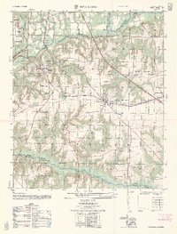 1962 Pinckard1962 Print · USGSSoutheast Alabama is captured here in the early sixties as the railroad and the Choctawhatchee river forks defined local life. Genealogists can locate family landmarks like the Woodland Cemetery, Pinckard High School, and the Union School Cemetery.
 - 1969 Map of Dothan East, 1971 Print
 1969 Dothan East1971 Print · USGSEastern Houston County is seen here in the late sixties as the Dothan city limits expand toward Ashford and Cowarts. Genealogists can locate family-named landmarks like Wilson Quarters, Dykes Lake, and rural congregations such as Smyrna Ch.3 unique versions available
 - 1969 Map of Dothan West, 1971 Print
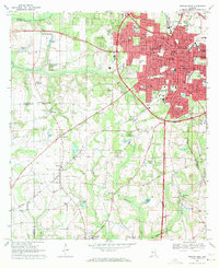 1969 Dothan West1971 Print · USGSDothan and its surrounding crossroads are captured here during a period of significant regional expansion in the late sixties. Researchers can trace historic schools and cemeteries such as Rehobeth High Sch, Carver High Sch, and Mt Zion Cem across the Wiregrass landscape.2 unique versions available
 - 1969 Map of Midland City, 1971 Print
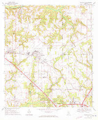 1969 Midland City1971 Print · USGSSoutheast Alabama at the end of the sixties reveals a landscape balancing its agricultural roots with new industrial and educational growth. Researchers can trace family-named landmarks like Murphy Millpond and historic rural sanctuaries including Mt Pleasant Ch and Magnolia Ch.2 unique versions available
 - 1969 Map of Headland, 1971 Print
 1969 Headland1971 Print · USGSHenry and Houston County agricultural lands thrive during the late sixties as the railways drive local commerce. Genealogists and historians can trace family roots through Gardens of Memory Cem, Northside Sch, and several rural churches like Bethlehem Ch.
 - 1981 Map of Dothan, 1982 Print
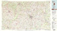 1981 Dothan1982 Print · USGSSoutheast Alabama and the tri-state border region are shown here in the early 1980s as the area thrived on military and rail connectivity. Researchers can trace historic transit lines like the Hartford and Slocomb railroad or locate family roots in Ozark, Headland, and Geneva.
 - 2011 Map of Midland City, 2011 Print
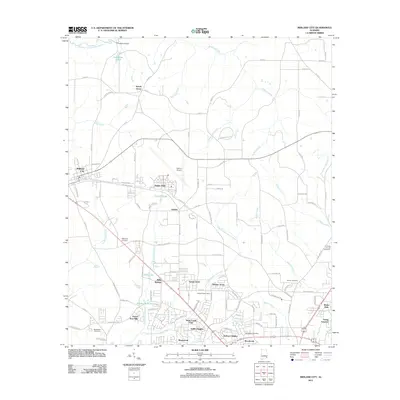 2011 Midland City2011 Print · USGSThe Dothan metropolitan fringe is captured here in the early twenty-first century, showing the balance between aviation infrastructure and quiet residential growth. Genealogists can trace family names through Magnolia Cemetery and Beulah Cemetery or explore the settlements of Napier Field and Grimes.
 - 2011 Map of Pinckard, 2011 Print
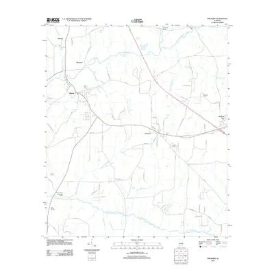 2011 Pinckard2011 Print · USGSSoutheast Alabama in the early twenty-first century reveals a landscape shaped by the converging forks of the Choctawhatchee River. Trace local roots and rural industry through landmarks like Adams Mill, Newton City Cemetery, and the William Grady Stembridge Bridge.
 - 2011 Map of Malvern, 2011 Print
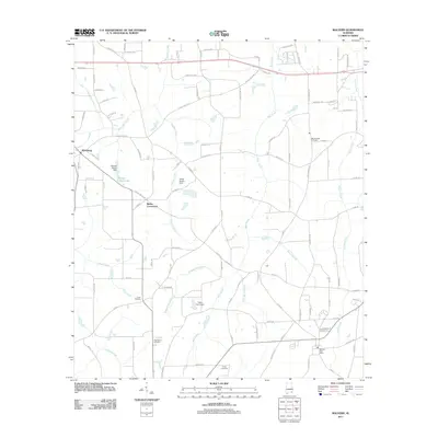 2011 Malvern2011 Print · USGSThe area west of Dothan comes into focus in this early 21st-century record of rural Alabama life. Genealogists and historians can locate family landmarks such as Purvis Cemetery, the Malvern Post Office, and Emmett Sellers Lake.
 - 2011 Map of Dothan East, 2011 Print
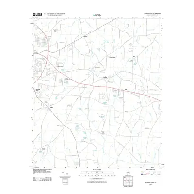 2011 Dothan East2011 Print · USGSThe eastern edges of Houston County are shown here in the early 2000s as local communities like Cowarts and Avon grow. Researchers can locate numerous historic burying grounds such as Memphis Cemetery and Hurts Chapel Cemetery alongside landmarks like the Cowarts Post Office.
 - 2011 Map of Headland, 2011 Print
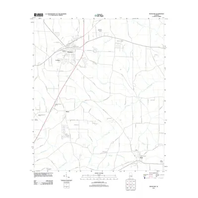 2011 Headland2011 Print · USGSSoutheast Alabama at the start of the 2010s reveals a structured landscape of established townships and quiet rural cemeteries. Genealogists and historians can locate family landmarks like Poplar Spring Cemetery, the Webb Post Office, and the Dothan Area Botanical Gardens.
 - 2011 Map of Dothan West, 2011 Print
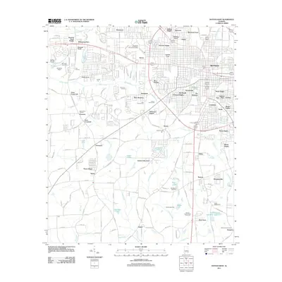 2011 Dothan West2011 Print · USGSThe growing western edge of the Peanut Capital of the World is seen here just after the turn of the millennium. Researchers can find old family burial grounds at Memory Hill or Mount Gilead Cemetery, and trace local landmarks like the National Peanut Festival Fairgrounds.
 - 2014 Map of Pinckard, 2014 Print
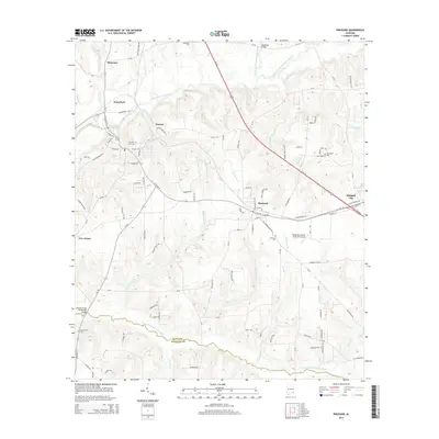 2014 Pinckard2014 Print · USGSNewton and Pinckard are captured in the mid-2010s at the junction of the Choctawhatchee rivers. Genealogists and local historians can trace family locations through Newton City Cem, New Hope Cem, and the Blessings Landing Air Ranch Airport.
 - 2014 Map of Dothan West, 2014 Print
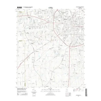 2014 Dothan West2014 Print · USGSDothan's western suburbs and the surrounding Houston County countryside are captured here in the early twenty-first century. Genealogists and local historians can trace family locations through numerous rural cemeteries and established communities like Brannon Stand, Peterman, and Tabernacle.
 - 2014 Map of Headland, 2014 Print
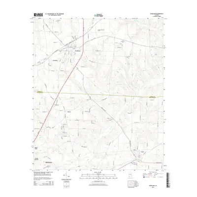 2014 Headland2014 Print · USGSHeadland and the northern outskirts of Dothan are shown here during a period of steady growth along the corridor between Henry and Houston Counties. Genealogists can locate several local burial grounds, including Gardens of Memory Cem and Bethlehem Cem, while tracing the reaches of Omusee Cr.
 - 2014 Map of Dothan East, 2014 Print
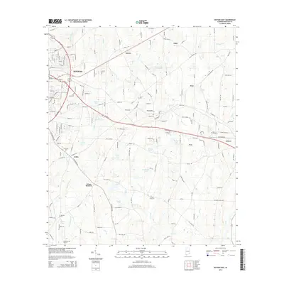 2014 Dothan East2014 Print · USGSDothan and its eastern neighbors in Houston County are documented here during a period of steady growth and local expansion. Researchers can trace family history through numerous rural burial grounds like Mt Pleasant Cem and early settlements including Ardilla, Enon, and Wilson Quarters.
Showing maps 1-25 of 45
Top cities near Dothan
- Ozark historical maps
- Headland historical maps
- Taylor historical maps
- Ashford historical maps
- Midland City historical maps
- Kinsey historical maps
See more
Top neighborhoods of Dothan
- Mullins historical maps
- Brannon Stand historical maps
- Young America historical maps
- Smyrna historical maps
- Kelly Springs historical maps
- Southside Acres historical maps
See more
Frequently asked questions
- What are the different types of historical maps available for Dothan?
- What is the oldest map of Dothan?
- Where can I purchase historical maps of Dothan for my home or office?
- Where can I download high-res historical maps of Dothan?
- Are there historical topographic maps available for Dothan?
- Is there historical aerial imagery available for Dothan?
- Where are historical maps of Dothan sourced from?