2000s (21st Century) Maps of Sulligent, Alabama
Explore 20 historic maps of Sulligent from the 2000s (21st Century). These maps offer a rare glimpse into what life looked like during the 2000s — showing old roads, neighborhoods, homes, and landmarks that have changed or disappeared over time.
Whether you're researching your family's past, planning a metal detecting trip, or studying how Sulligent's landscape evolved across the 2000s, these high-resolution maps are a powerful tool for exploring the history of this region.
- Focus on a specific era: All maps on this page are from the 2000s, giving you a focused view of this time period.
- See what’s changed: Compare century-old streets, trails, and buildings to today's modern landscape using overlays and satellite layers.
- Research with precision: Use these maps for genealogy, historical research, land use analysis, or educational projects.
- View, download, or print: Maps are fully viewable online in high resolution, and can be downloaded or printed for your own records.
Start exploring Sulligent's history through authentic maps from the 2000s. This is your window into the past.
Sulligent, AL maps
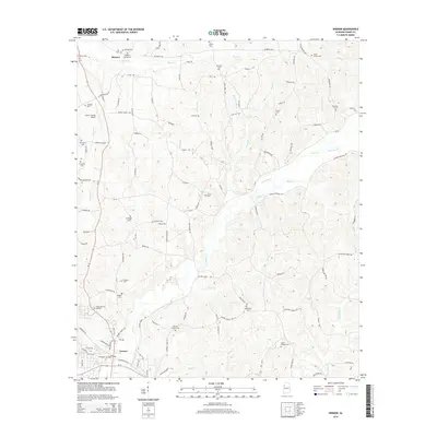
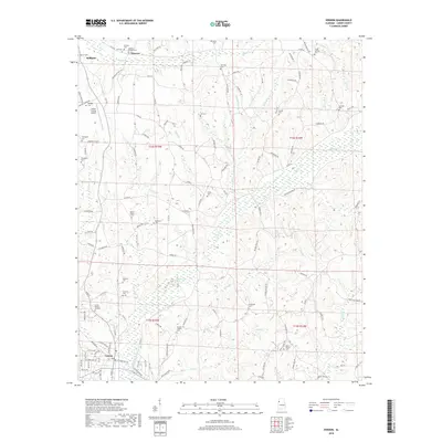
(20)- 2011 Map of Vernon, 2011 Print
 2011 Vernon2011 Print · USGSCovers Sulligent, including Vernon, Moscow, and other nearby areas
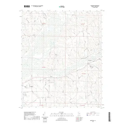
 - 2011 Map of Beaverton, 2011 Print
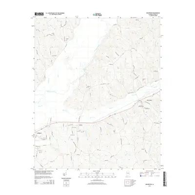
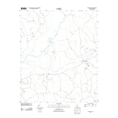 2011 Beaverton2011 Print · USGSCovers Sulligent, including Beaverton, Crews, and other nearby areas
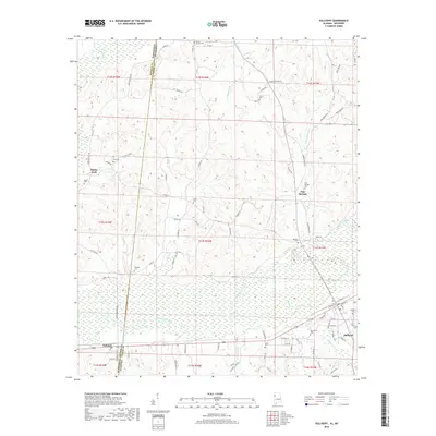
 - 2011 Map of Sulligent, 2011 Print
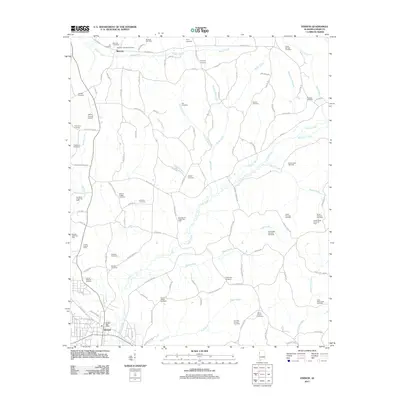
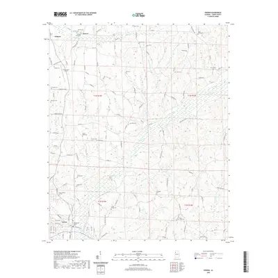
 2011 Sulligent2011 Print · USGSCovers Sulligent, including Gattman, Sipsey Fork, and other nearby areas
 - 2011 Map of Sulligent SW, 2011 Print
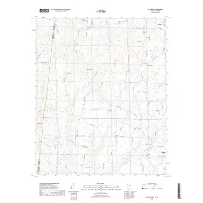
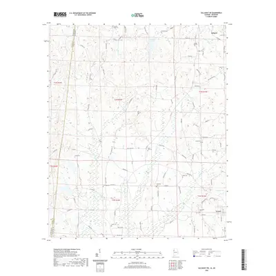
 2011 Sulligent SW2011 Print · USGSCovers Sulligent, including Vernon, Bedford, and other nearby areas
 - 2014 Map of Beaverton, 2014 Print
 2014 Beaverton2014 Print · USGSCovers Sulligent, including Beaverton, Crews, and other nearby areas
 - 2014 Map of Sulligent, 2014 Print
 2014 Sulligent2014 Print · USGSCovers Sulligent, including Gattman, Sipsey Fork, and other nearby areas
 - 2014 Map of Vernon, 2014 Print
 2014 Vernon2014 Print · USGSCovers Sulligent, including Vernon, Moscow, and other nearby areas
 - 2014 Map of Sulligent SW, 2014 Print
 2014 Sulligent SW2014 Print · USGSCovers Sulligent, including Vernon, Bedford, and other nearby areas
 - 2018 Map of Sulligent, 2018 Print
 2018 Sulligent2018 Print · USGSCovers Sulligent, including Gattman, Sipsey Fork, and other nearby areas
 - 2018 Map of Vernon, 2018 Print
 2018 Vernon2018 Print · USGSCovers Sulligent, including Vernon, Moscow, and other nearby areas
 - 2018 Map of Beaverton, 2018 Print
 2018 Beaverton2018 Print · USGSCovers Sulligent, including Beaverton, Crews, and other nearby areas
 - 2018 Map of Sulligent SW, 2018 Print
 2018 Sulligent SW2018 Print · USGSCovers Sulligent, including Vernon, Bedford, and other nearby areas
 - 2020 Map of Vernon, 2020 Print
 2020 Vernon2020 Print · USGSCovers Sulligent, including Vernon, Moscow, and other nearby areas
 - 2020 Map of Beaverton, 2020 Print
 2020 Beaverton2020 Print · USGSCovers Sulligent, including Beaverton, Crews, and other nearby areas
 - 2020 Map of Sulligent SW, 2020 Print
 2020 Sulligent SW2020 Print · USGSCovers Sulligent, including Vernon, Bedford, and other nearby areas
 - 2020 Map of Sulligent, 2020 Print
 2020 Sulligent2020 Print · USGSCovers Sulligent, including Gattman, Sipsey Fork, and other nearby areas
 - 2024 Map of Beaverton, 2024 Print
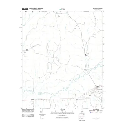
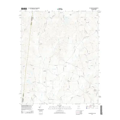
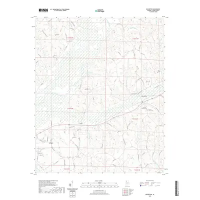
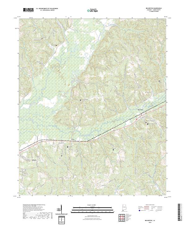 2024 Beaverton2024 Print · USGSLamar County, Alabama, is documented here in the early twenty-first century, showing the enduring rural layout of the Buttahatchee River valley. Researchers can trace family landmarks and local heritage at Beaverton Memorial Cem, Crews, and Nolen Cem.
 - 2024 Map of Vernon, 2024 Print
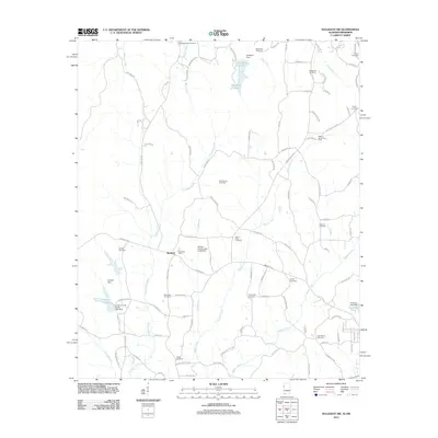
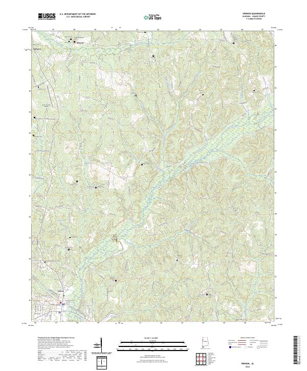 2024 Vernon2024 Print · USGSLamar County comes into focus in the mid-2020s, centered on the county seat and the winding waters of Yellow Creek. Researchers can trace dozens of local burial sites and landmarks, including Mount Pisgah Cem, Oakes Chapel, and the historic Jackson Military Rd.
 - 2024 Map of Sulligent SW, 2024 Print
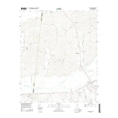
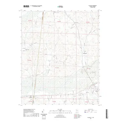
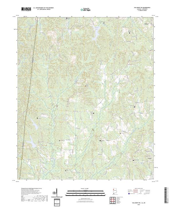 2024 Sulligent SW2024 Print · USGSThe Mississippi-Alabama borderlands in Lamar County come into focus here, showing the rural landscape between the towns of Sulligent and Vernon. Genealogists and historians can trace numerous family-named landmarks and burial grounds, including Rising Star Cem and New Hope Cem.
 - 2024 Map of Sulligent, 2024 Print
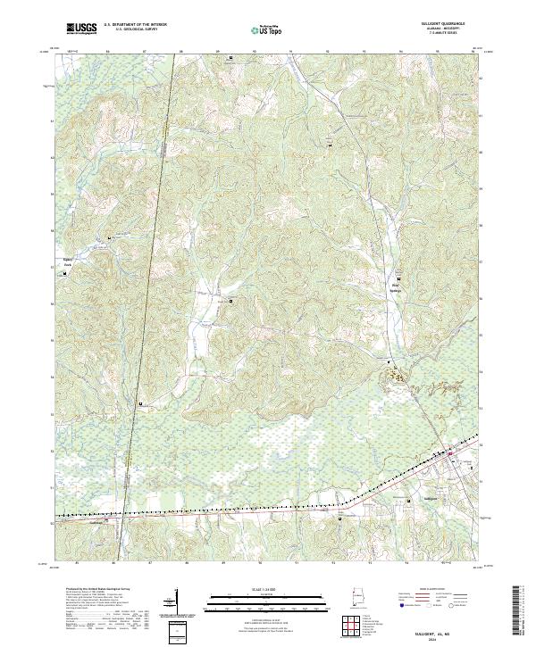 2024 Sulligent2024 Print · USGSLamar County and the Mississippi borderlands are detailed in this recent survey of the Buttahatchee River corridor. Genealogists and local historians can trace family locations through named sites like Sulligent Cem, Pine Springs, and the Dinky Line Rd.
End of results
Showing maps 1-20 of 20
Top cities near Sulligent
- Hamilton historical maps
- Guin historical maps
- Vernon historical maps
- Caledonia historical maps
- Detroit historical maps
- Beaverton historical maps
See more
Frequently asked questions
- What are the different types of historical maps available for Sulligent?
- What is the oldest map of Sulligent?
- Where can I purchase historical maps of Sulligent for my home or office?
- Where can I download high-res historical maps of Sulligent?
- Are there historical topographic maps available for Sulligent?
- Is there historical aerial imagery available for Sulligent?
- Where are historical maps of Sulligent sourced from?