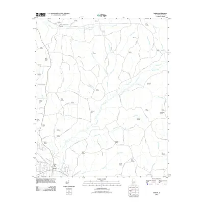
2011 Map of Vernon
USGS Topo · Published 2011About this map
Vernon serves as the focal point of this Lamar County survey, showing the town's development near the banks of Yellow Creek. The landscape is a network of small family and community burial grounds, such as Holliday Cemetery, Pearson Cemetery, and Morton Chapel Cemetery, which offer significant data for genealogical research in this part of Alabama. The local economy and land use are clearly defined by the numerous energy extraction sites scattered across the terrain, including the Moscow Gas Field and the North Fairview Oil Field.
Find a feature on this map
118 named features on this map. Tap any name to fly to it.
Don’t see what you’re looking for? This feature index may not catch every label — zoom into the map to look around manually.
Map Details
Editions of this 2011 Vernon Map
This is the sole edition of this map. No revisions or reprints were ever made.
Other maps of this area

1953 · Birmingham
USGS Topo · 1:250,000

1953 · West Point
USGS Topo · 1:250,000

1956 · Birmingham
USGS Topo · 1:250,000

1957 · Birmingham
USGS Topo · 1:250,000

1958 · West Point
USGS Topo · 1:250,000

1963 · West Point
USGS Topo · 1:250,000

1967 · Sulligent
USGS Topo · 1:24,000

1967 · Beaverton
USGS Topo · 1:24,000

1967 · Hightogy
USGS Topo · 1:24,000

1967 · Bluff
USGS Topo · 1:24,000