
1967 Map of Hightogy
USGS Topo · Published 1968About this map
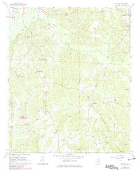
Vernon and the surrounding Lamar County countryside are mapped here during the late 1960s, revealing a landscape defined by small rural communities and numerous country churches. The settlement pattern is deeply tied to the local watercourses, with Yellow Creek and Buck Creek in the north and the extensive Hells Creek drainage carving through the central terrain. This survey illustrates the density of local religious and social centers, many with adjacent burial grounds, such as South Carolina Ch Cem and Mt Olive Ch Cem. The presence of many Gravel Pit locations across the quadrangle indicates active local extraction industries during this era. Scattered crossroads like Hightogy and Kingville serve as navigational anchors in a region largely dominated by timber and small-scale agriculture, while the local Hospital in Vernon marks the area's primary service hub.
Find a feature on this map
36 named features on this map. Tap any name to fly to it.
Don’t see what you’re looking for? This feature index may not catch every label — zoom into the map to look around manually.
Map Details
Editions of this 1967 Hightogy Map
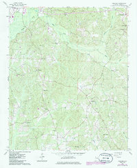
3 editions found
Other maps of this area

1953 · Birmingham
USGS Topo · 1:250,000

1953 · West Point
USGS Topo · 1:250,000

1956 · Birmingham
USGS Topo · 1:250,000

1957 · Birmingham
USGS Topo · 1:250,000

1958 · West Point
USGS Topo · 1:250,000

1963 · West Point
USGS Topo · 1:250,000

1967 · Kennedy
USGS Topo · 1:24,000

1967 · Bluff
USGS Topo · 1:24,000

1967 · Millport
USGS Topo · 1:24,000

1967 · Sulligent SW
USGS Topo · 1:24,000