Old Maps of Vernon, Alabama for Hiking & Exploration
Hike through history with 29 historic maps of Vernon. Explore old trails, ghost towns, and forgotten backroads — perfect for outdoor adventurers and local explorers.
- Rediscover forgotten places: Map out old mining camps, roads, and footpaths that no longer exist on modern maps.
- Layer with modern tools: Combine with LiDAR or satellite views to plan hikes through historical terrain.
- Made for exploration: Popular among hikers, overlanders, and local history lovers.
Use these maps to find adventure and explore the hidden past of Vernon.
Vernon, AL maps
(29)- 1953 Map of West Point, 1973 Print
 1953 West Point1973 Print · USGSNorth-Central Mississippi and the Alabama borderlands are captured here during the mid-twentieth century as new reservoirs and national forests transformed the landscape. Researchers can trace the path of the Mississippi & Skuna Valley railroad or locate old landings along the Tombigbee River and Schooner Creek.3 unique versions available
 - 1958 Map of West Point
 1958 West Point1958 Print · USGSNortheastern Mississippi and western Alabama are shown in the late 1950s, highlighting a region defined by its river-and-rail economy. Researchers can trace family roots through numerous settlements like Artesia and Vardaman or explore the corridor of the Tombigbee River.
 - 1963 Map of West Point
 1963 West Point1963 Print · USGSEastern Mississippi and western Alabama are captured in the early sixties as industrial centers and rail lines connected the Black Prairie to the hills. Genealogists and historians can trace family-named watercourses and the early footprints of Starkville, Columbus, and the Noxubee National Wildlife Refuge.2 unique versions available
 - 1967 Map of Hightogy, 1968 Print
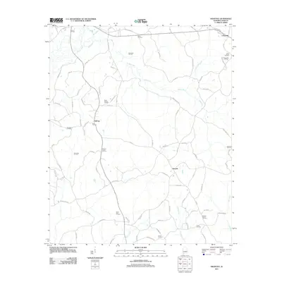
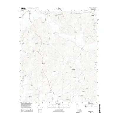
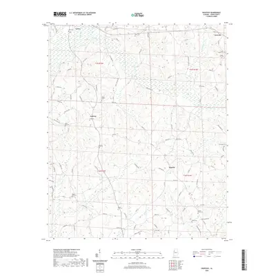
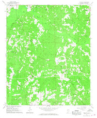 1967 Hightogy1968 Print · USGSLamar County in the late sixties shows a landscape of dispersed crossroads and rural congregations. Genealogists can trace family names at sites like South Carolina Ch Cem, Walnut Grove Ch Cem, and the settlement of Kingville.3 unique versions available
 - 1967 Map of Sulligent SW, 1968 Print
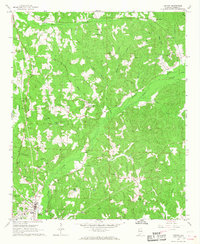
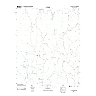
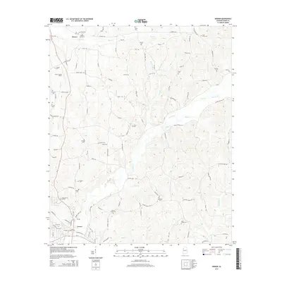
 1967 Sulligent SW1968 Print · USGSThe Alabama-Mississippi borderlands in the late sixties reveal a landscape of creek-side communities and country churches. Genealogists can locate family landmarks like Taylor Cem and Bedford Sch, or trace the path of Watson Creek.2 unique versions available
 - 1967 Map of Millport NW, 1968 Print
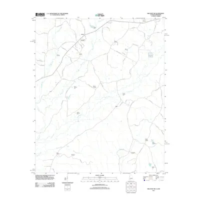
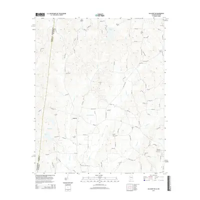
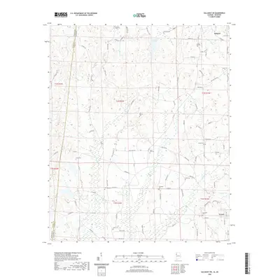
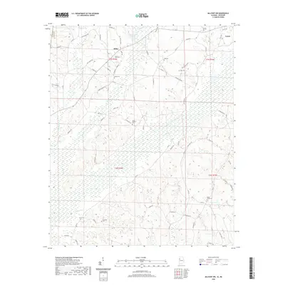
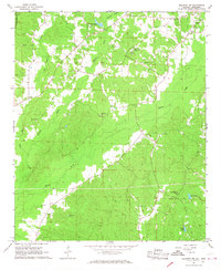 1967 Millport NW1968 Print · USGSLamar County in the late 1960s was a rural landscape defined by tight-knit communities and winding creek valleys. Researchers can locate family landmarks like Lampkin Cem and Sailor Cem, or trace local history at the Lamar County Training Sch.3 unique versions available
 - 1967 Map of Vernon, 1968 Print
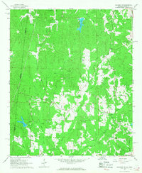
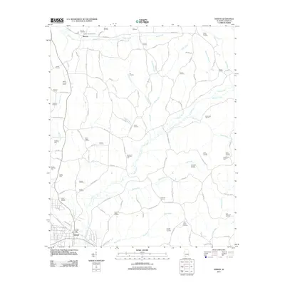
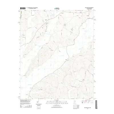
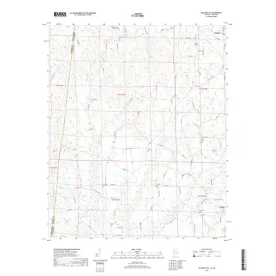
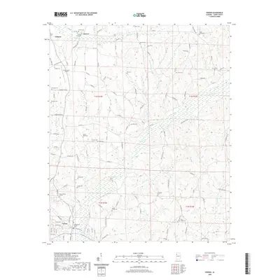
 1967 Vernon1968 Print · USGSLamar County in the late sixties reveals a landscape of tight-knit rural communities centered around the town of Vernon. Researchers can trace family history through a high density of country churches and cemeteries like Kennedy Ch, Moscow Cem, and Emmaus Cem.2 unique versions available
 - 1982 Map of West Point, 1983 Print
 1982 West Point1983 Print · USGSEastern Mississippi and western Alabama are captured in the early eighties as the river-and-rail economy evolved. Trace family roots and old township lines near West Point, Columbus Air Force Base, and the historic Natchez Trace Parkway.
 - 1984 Map of West Point
 1984 West Point1984 Print · USGSNorth-Central Mississippi in the mid-eighties shows a landscape defined by massive water management projects and dense timberlands. Researchers can trace the legacy of rural settlements like Geeslin Corner or the rail corridors of the Illinois Central Gulf RR near Grenada Lake.3 unique versions available
 - 2011 Map of Vernon, 2011 Print
 2011 Vernon2011 Print · USGSCovers Vernon, including Sulligent, Moscow, and other nearby areas
 - 2011 Map of Hightogy, 2011 Print
 2011 Hightogy2011 Print · USGSCovers Vernon, including Crossville, Hightogy, and other nearby areas
 - 2011 Map of Millport NW, 2011 Print
 2011 Millport NW2011 Print · USGSCovers Vernon, including Star, Molloy, and other nearby areas
 - 2011 Map of Sulligent SW, 2011 Print
 2011 Sulligent SW2011 Print · USGSCovers Vernon, including Sulligent, Bedford, and other nearby areas
 - 2014 Map of Millport NW, 2014 Print
 2014 Millport NW2014 Print · USGSCovers Vernon, including Star, Molloy, and other nearby areas
 - 2014 Map of Hightogy, 2014 Print
 2014 Hightogy2014 Print · USGSCovers Vernon, including Crossville, Hightogy, and other nearby areas
 - 2014 Map of Vernon, 2014 Print
 2014 Vernon2014 Print · USGSCovers Vernon, including Sulligent, Moscow, and other nearby areas
 - 2014 Map of Sulligent SW, 2014 Print
 2014 Sulligent SW2014 Print · USGSCovers Vernon, including Sulligent, Bedford, and other nearby areas
 - 2018 Map of Millport NW, 2018 Print
 2018 Millport NW2018 Print · USGSCovers Vernon, including Star, Molloy, and other nearby areas
 - 2018 Map of Vernon, 2018 Print
 2018 Vernon2018 Print · USGSCovers Vernon, including Sulligent, Moscow, and other nearby areas
 - 2018 Map of Sulligent SW, 2018 Print
 2018 Sulligent SW2018 Print · USGSCovers Vernon, including Sulligent, Bedford, and other nearby areas
 - 2018 Map of Hightogy, 2018 Print
 2018 Hightogy2018 Print · USGSCovers Vernon, including Crossville, Hightogy, and other nearby areas
 - 2020 Map of Vernon, 2020 Print
 2020 Vernon2020 Print · USGSCovers Vernon, including Sulligent, Moscow, and other nearby areas
 - 2020 Map of Hightogy, 2020 Print
 2020 Hightogy2020 Print · USGSCovers Vernon, including Crossville, Hightogy, and other nearby areas
 - 2020 Map of Sulligent SW, 2020 Print
 2020 Sulligent SW2020 Print · USGSCovers Vernon, including Sulligent, Bedford, and other nearby areas
 - 2020 Map of Millport NW, 2020 Print
 2020 Millport NW2020 Print · USGSCovers Vernon, including Star, Molloy, and other nearby areas
Showing maps 1-25 of 29
Top cities near Vernon
- Guin historical maps
- Sulligent historical maps
- Millport historical maps
- Caledonia historical maps
- Kennedy historical maps
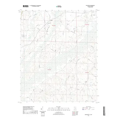
- Beaverton historical maps
See more
Frequently asked questions
- What are the different types of historical maps available for Vernon?
- What is the oldest map of Vernon?
- Where can I purchase historical maps of Vernon for my home or office?
- Where can I download high-res historical maps of Vernon?
- Are there historical topographic maps available for Vernon?
- Is there historical aerial imagery available for Vernon?
- Where are historical maps of Vernon sourced from?