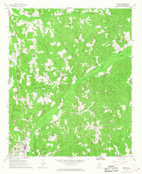
1967 Map of Vernon
USGS Topo · Published 1968About this map
Vernon serves as the focal point of this late-1960s survey, surrounded by a complex network of small rural communities and family-named landmarks. The landscape is defined by the winding paths of Yellow Creek and Bogue Creek, with numerous smaller tributaries like Slickum Branch and Christian Branch carving through the terrain. Evidence of the mid-century social landscape is visible in the distribution of community centers such as Moscow Ch, Kennedy Ch, and Shiloh Ch, alongside the Drive-in Theater and the Lamar County Airport north of town.
Find a feature on this map
59 named features on this map. Tap any name to fly to it.
Don’t see what you’re looking for? This feature index may not catch every label — zoom into the map to look around manually.
Map Details
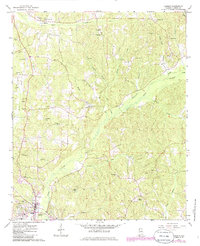
Editions of this 1967 Vernon Map
2 editions found
Other maps of this area

1953 · Birmingham
USGS Topo · 1:250,000

1953 · West Point
USGS Topo · 1:250,000

1956 · Birmingham
USGS Topo · 1:250,000

1957 · Birmingham
USGS Topo · 1:250,000

1958 · West Point
USGS Topo · 1:250,000

1963 · West Point
USGS Topo · 1:250,000
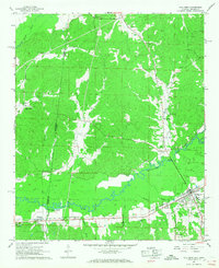
1967 · Sulligent
USGS Topo · 1:24,000
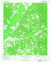
1967 · Beaverton
USGS Topo · 1:24,000
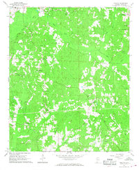
1967 · Hightogy
USGS Topo · 1:24,000
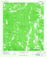
1967 · Bluff
USGS Topo · 1:24,000