Old Maps of Killen, Alabama for Genealogy
Trace your family roots with 25 historic maps of Killen. These high-res maps reveal old neighborhoods, homesites, landmarks, and streets — helping you uncover where your ancestors lived and how the area evolved over time.
- Explore historic neighborhoods: Identify where your relatives may have lived in the 1800s or 1900s.
- Compare maps over time: Trace the changes in streets, buildings, and landmarks for multi-generational research.
- Perfect for genealogy & ancestry research: Used by family historians and researchers to map out lineage and migration.
These maps are an incredible resource for exploring your personal connection to Killen's past.
Killen, AL maps
(25)- 1914 Map of Rogersville
 1914 Rogersville1914 Print · USGSBefore the Tennessee River was dammed and widened, this area supported a dense network of river-linked communities. Trace the legacy of early families through landmarks like Lambs Ferry, Mitchell Mill, and the many rural sites like Sweet Gum Church.
 - 1914 Map of Muscle Shoals
 1914 Muscle Shoals1914 Print · USGSThe Tennessee River and its complex shoals define the Shoals region in the years before major damming projects. Trace the Muscle Shoals Canal and find landmarks like St Florian, Mars Hill School, and Lock No 6.
 - 1916 Map of Muscle Shoals
 1916 Muscle Shoals1916 Print · USGSThe Tennessee River corridor around Florence and Sheffield appears here in the years before dam construction altered the valley forever. Researchers can trace historic river crossings like Goose Shoals Ford, early navigation locks, and vanished community hubs such as Big Cut Hines PO.2 unique versions available
 - 1916 Map of Rogersville
 1916 Rogersville1916 Print · USGSLauderdale County was a landscape of river-driven commerce and rural crossroads in the decade before the Tennessee River was transformed. Researchers can trace ancestral locations through dozens of named sites like Lambs Ferry, Hurricane Church, and the Muscle Shoals Canal.2 unique versions available
 - 1936 Map of Wheeler Dam
 1936 Wheeler Dam1936 Print · USGSThe Tennessee River valley was undergoing a massive transformation in the mid-1930s as the TVA reservoirs filled. Local researchers can trace the early layout of Wheeler Dam Village and locate family landmarks like Fosters Mill, Center Star Sch, and Houstontown.
 - 1936 Map of Killen
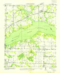 1936 Killen1936 Print · USGSThe Tennessee River valley transformed in the mid-thirties as hydroelectric power and industrial villages reshaped the Alabama landscape. Genealogists can locate family landmarks like Mt Pleasant Cemetery or early educational sites such as Price School and Harkins Creek School.
 - 1952 Map of Wheeler Dam, 1957 Print
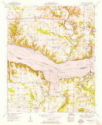 1952 Wheeler Dam1957 Print · USGSThe Tennessee River corridor transformed in the mid-twentieth century as hydroelectric power and new state parks reshaped the Shoals region. Local historians can trace family roots through Hennigan Cem or explore the early layout of Wheeler Dam Village and Fosters Mill.
 - 1953 Map of Killen, 1957 Print
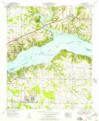 1953 Killen1957 Print · USGSThe Tennessee River valley in the early fifties shows a landscape reshaped by industry and the waters of Wilson Lake. Researchers can trace the development of Nitrate City and Listerhill or find family landmarks like Old Brick Ch and Woodlawn Cem.
 - 1956 Map of Gadsden, 1966 Print
 1956 Gadsden1966 Print · USGSNorth Alabama in the mid-1950s shows a region transformed by river engineering and federal industry. Genealogists and local historians can trace the development of the Tennessee Valley through the growth of Huntsville, the sprawling Redstone Arsenal, and the expansive Guntersville Lake.3 unique versions available
 - 1958 Map of Gadsden
 1958 Gadsden1958 Print · USGSNorth Alabama comes alive in the late 1950s as the Tennessee Valley Authority’s massive river projects and the rise of the space industry reshaped the landscape. Researchers can trace the mid-century footprints of Huntsville, Redstone Arsenal, and the riverside rail networks of the Southern railroad.
 - 1960 Map of Gadsden
 1960 Gadsden1960 Print · USGSNorthern Alabama in the mid-1950s is defined by the mighty Tennessee River and its massive reservoirs. Trace the development of Huntsville and Redstone Arsenal or explore the vast William B Bankhead National Forest.2 unique versions available
 - 1963 Map of Gadsden
 1963 Gadsden1963 Print · USGSNorthern Alabama underwent a dramatic mid-century transformation as the Tennessee Valley became a hub for defense and industry. Researchers can trace the development of the Redstone Arsenal, the route of the Natchez Trace Parkway, and long-standing rail lines like the Southern Railway.
 - 1971 Map of Wheeler Dam, 1973 Print
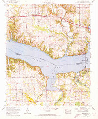 1971 Wheeler Dam1973 Print · USGSIn the early 1970s, the Tennessee River valley near the tri-county border was shaped by hydroelectric power and rising lakes. Genealogists and local historians can trace family landmarks like Fosters Mill, Hennigan Cem, and Center Star across this evolving landscape.2 unique versions available
 - 1971 Map of Killen, 1973 Print
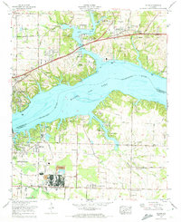 1971 Killen1973 Print · USGSThe Tennessee River shoreline at Wilson Lake underwent significant industrial and residential growth by the early 1970s. Researchers can trace family history at Huff Cem and Brick Sch or locate the specialized industrial settlements of Listerhill and Nitrate City.3 unique versions available
 - 1986 Map of Tuscumbia
 1986 Tuscumbia1986 Print · USGSThe Tennessee River valley in the mid-1980s shows a landscape transformed by massive reservoirs and industrial hubs. Genealogists and local historians can trace the development of the Shoals area and locate rural communities like Tharp Town, Leighton, and Rogersville.3 unique versions available
 - 2011 Map of Killen, 2011 Print
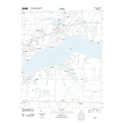 2011 Killen2011 Print · USGSCoastal life and residential growth define this Lauderdale County landscape along Wilson Lake in the early 2010s. Genealogists can locate several family burial grounds like Jones Hill Cemetery and Hawkins Cemetery among modern developments.
 - 2012 Map of Wheeler Dam, 2012 Print
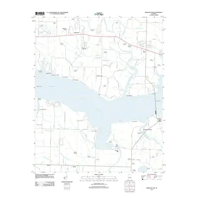 2012 Wheeler Dam2012 Print · USGSThe Tennessee River and the massive Wheeler Dam infrastructure dominate this Alabama landscape as it appeared in recent years. Genealogists and local historians can trace family locations through numerous sites like Old Tanyard Cemetery, Fosters Mill, and Houstontown.
 - 2014 Map of Wheeler Dam, 2014 Print
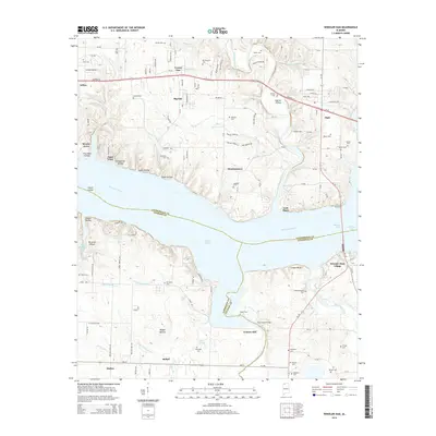 2014 Wheeler Dam2014 Print · USGSThe Tennessee River valley at the junction of three counties shows a landscape of dam-controlled lakes and historic crossroads. Genealogists can locate family burial sites like Old Tanyard Cem and Westmoreland Cem near settlements such as Fosters Mill and Elgin.
 - 2014 Map of Killen, 2014 Print
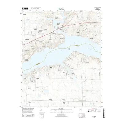 2014 Killen2014 Print · USGSThe Tennessee River shoreline at Wilson Lake is shown here during a period of significant residential growth. Genealogists and historians can trace numerous family landmarks like Kernachan Cem, Huff Cem, and the historic community of St. Florian.
 - 2018 Map of Wheeler Dam, 2018 Print
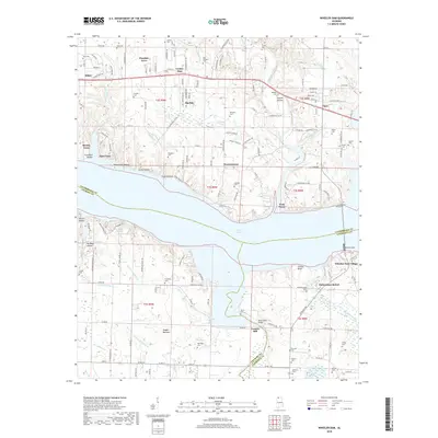 2018 Wheeler Dam2018 Print · USGSThe Tennessee River at the Lauderdale and Lawrence county border is defined here by the massive Wheeler Dam and its reservoir. Family researchers can trace legacy sites like Old Tanyard Cem, Fosters Mill, and the community of Center Star.
 - 2018 Map of Killen, 2018 Print
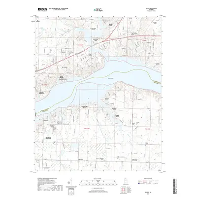 2018 Killen2018 Print · USGSThe Tennessee River shoreline near Florence is shown here as it transitioned into a hub of lakeside communities and industry. Researchers can trace family history through numerous landmarks like Kernachan Cem, Nitrate City, and Ford City.
 - 2020 Map of Wheeler Dam, 2020 Print
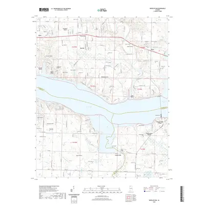 2020 Wheeler Dam2020 Print · USGSLauderdale and Colbert counties meet at the Tennessee River in this 2020 survey of the Wheeler Lake area. Local historians can trace family ties at Old Tanyard Cem and Hennigan Cem or explore the river infrastructure at Wheeler Dam and Lock Three.
 - 2020 Map of Killen, 2020 Print
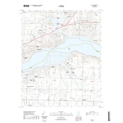 2020 Killen2020 Print · USGSThe Tennessee River corridor between Florence and Muscle Shoals is captured here in the modern era as a hub of residential and industrial life. Genealogists and historians can locate family landmarks like Kernachan Cem, the historic Old Brick Church, and the distinctive settlement of Nitrate City.
 - 2024 Map of Wheeler Dam, 2024 Print
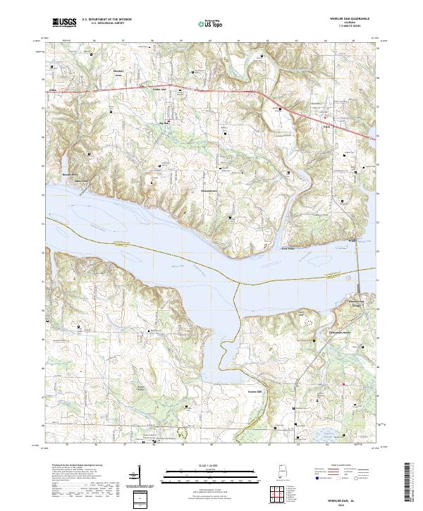 2024 Wheeler Dam2024 Print · USGSThe Tennessee River divides Lauderdale and Colbert counties in this modern study of North Alabama's shoreline and hydroelectric infrastructure. Genealogists and local historians can locate dozens of family landmarks, from Peck Cem near Killen to the river-front community at Fishermans Resort.
 - 2024 Map of Killen, 2024 Print
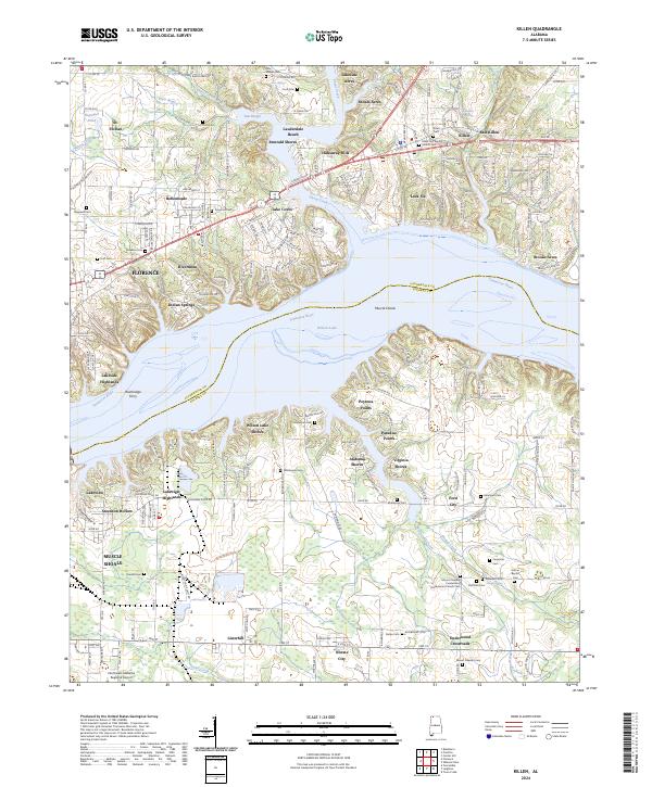 2024 Killen2024 Print · USGSThe Tennessee River and Wilson Lake serve as the centerpiece for this Lauderdale County survey. Researchers can trace historical local sites from Bainbridge Ferry to the community centers at Killen, Listerhill, and St. Florian.
End of results
Showing maps 1-25 of 25
Top cities near Killen
- Florence historical maps
- Muscle Shoals historical maps
- Sheffield historical maps
- Tuscumbia historical maps
- Underwood-Petersville historical maps
- Loretto historical maps
See more
Top neighborhoods of Killen
Frequently asked questions
- What are the different types of historical maps available for Killen?
- What is the oldest map of Killen?
- Where can I purchase historical maps of Killen for my home or office?
- Where can I download high-res historical maps of Killen?
- Are there historical topographic maps available for Killen?
- Is there historical aerial imagery available for Killen?
- Where are historical maps of Killen sourced from?