1914 Map of Rogersville
USGS Topo · Published 1914About this map
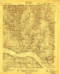
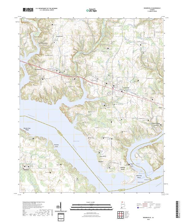
The Tennessee River dominates the southern landscape of this 1914 survey, a period before modern dams fundamentally altered the river's character. Numerous river features like Tick Island, Jacks I, and Eagle I appear alongside the historic crossing at Lambs Ferry. This agricultural region in Lauderdale County is densely settled with small crossroads and homesteads, evidenced by a high frequency of community institutions. Dozens of rural schools and churches, such as the Palestine School, Houstontown School, and Antioch Church, serve as vital landmarks for genealogists tracing early twentieth-century families. The northern part of the map features the established towns of Lexington and Rogersville, while the landscape is carved by watercourses like Second Creek and Anderson Creek. Local industry is represented by the presence of Mitchell Mill and Fosters Mill, showing the era's reliance on creek-side milling operations.
Find a feature on this map
72 named features on this map. Tap any name to fly to it.
Don’t see what you’re looking for? This feature index may not catch every label — zoom into the map to look around manually.
Map Details
Editions of this 1914 Rogersville Map
This is the sole edition of this map. No revisions or reprints were ever made.
Historical Maps of Rogersville Through Time
9 maps found
1914 Rogersville
Lauderdale County, AL
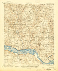
1916 Rogersville
Lauderdale County, AL
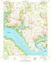
1952 Rogersville
Lauderdale County, AL
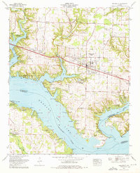
1974 Rogersville
Lauderdale County, AL
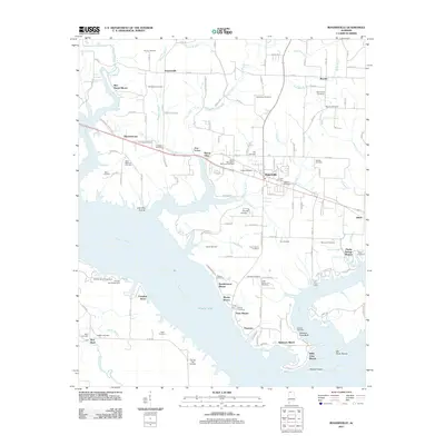
2011 Rogersville
Lauderdale County, AL
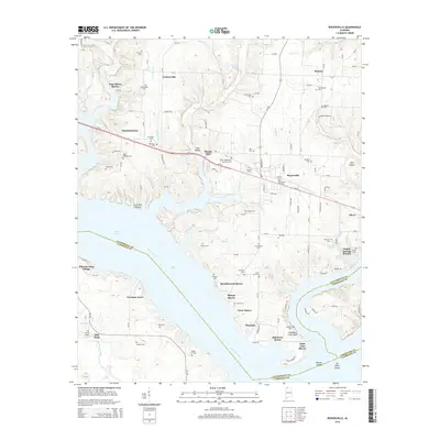
2014 Rogersville
Lauderdale County, AL
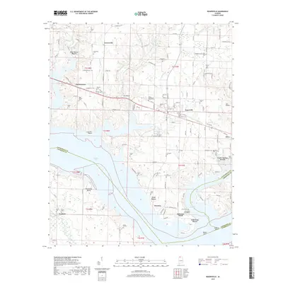
2018 Rogersville
Lauderdale County, AL
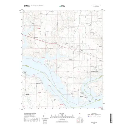
2020 Rogersville
Lauderdale County, AL
2024 Rogersville
Lauderdale County, AL