2020s Maps of White Hall, Alabama
Explore 4 historic maps of White Hall from the 2020s. These maps offer a rare glimpse into what life looked like during the 2020s — showing old roads, neighborhoods, homes, and landmarks that have changed or disappeared over time.
Whether you're researching your family's past, planning a metal detecting trip, or studying how White Hall's landscape evolved across the 2020s, these high-resolution maps are a powerful tool for exploring the history of this region.
- Focus on a specific era: All maps on this page are from the 2020s, giving you a focused view of this time period.
- See what’s changed: Compare century-old streets, trails, and buildings to today's modern landscape using overlays and satellite layers.
- Research with precision: Use these maps for genealogy, historical research, land use analysis, or educational projects.
- View, download, or print: Maps are fully viewable online in high resolution, and can be downloaded or printed for your own records.
Start exploring White Hall's history through authentic maps from the 2020s. This is your window into the past.
White Hall, AL maps
(4)- 2020 Map of White Hall, 2020 Print
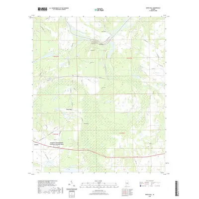 2020 White Hall2020 Print · USGSCovers White Hall, including Trickem, Autauga County, and other nearby areas
 - 2020 Map of Benton, 2020 Print
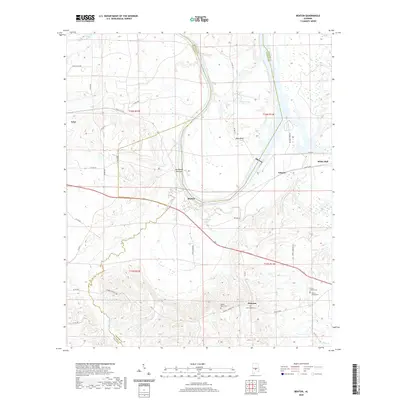 2020 Benton2020 Print · USGSCovers White Hall, including Benton, Edsons, and other nearby areas
 - 2024 Map of Benton, 2024 Print
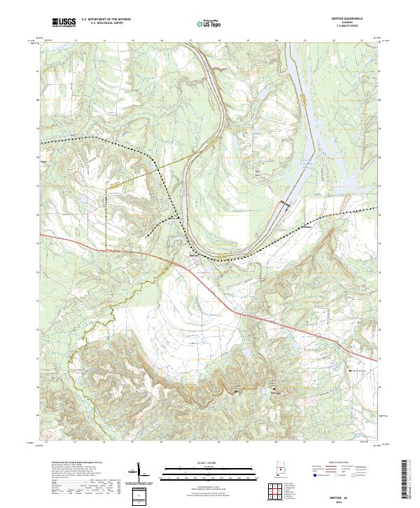 2024 Benton2024 Print · USGSBenton and the surrounding riverlands at the tri-county border are documented in detail in this contemporary survey. Researchers can trace family history through sites like Robert Rives Cem and Mount Gilead Cem or locate old settlements at Petronia and Edsons.
 - 2024 Map of White Hall, 2024 Print
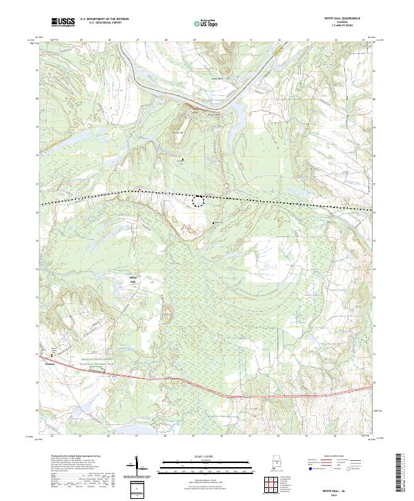 2024 White Hall2024 Print · USGSLowndes County and the Alabama River are captured in this recent survey, showcasing the area surrounding White Hall and the historic Civil Rights corridor. Researchers can trace local heritage at Mount Gillard Cem and follow the route of the Selma to Montgomery National Historic Trail.
End of results
Showing maps 1-4 of 4
Top cities near White Hall
- Prattville historical maps
- Mosses historical maps
- Hayneville historical maps
- Autaugaville historical maps
- Gordonville historical maps
- Lowndesboro historical maps
See more
Top neighborhoods of White Hall
Frequently asked questions
- What are the different types of historical maps available for White Hall?
- What is the oldest map of White Hall?
- Where can I purchase historical maps of White Hall for my home or office?
- Where can I download high-res historical maps of White Hall?
- Are there historical topographic maps available for White Hall?
- Is there historical aerial imagery available for White Hall?
- Where are historical maps of White Hall sourced from?