Old Maps of Little Texas, Alabama for Academic Research
Study the evolution of Little Texas with 11 high-resolution historic maps. Whether you're teaching, researching, or modeling changes in land use, these maps provide essential visual documentation of urban, environmental, and geographic change.
- Analyze long-term change: Track patterns in development, transportation, and natural features.
- Ideal for environmental or urban studies: Support academic projects with primary historical map data.
- Use in the classroom or lab: Educators and researchers rely on these maps to bring historical context to life.
These maps are a powerful tool for teaching, research, and visualizing how Little Texas has changed over the decades.
Little Texas, AL maps
(11)- 1955 Map of Phenix City, 1964 Print
 1955 Phenix City1964 Print · USGSPost-war Alabama and Georgia meet along the Chattahoochee River as industry and military installations expand. Trace the rail lines of the Central of Georgia through towns like Opelika, Tuskegee, and Alexander City.3 unique versions available
 - 1957 Map of Phenix City
 1957 Phenix City1957 Print · USGSThe Alabama-Georgia borderlands are captured here in the mid-fifties, centered on the bustling river crossing at Phenix City and Columbus. Researchers can trace the mid-century footprint of the Fort Benning Military Reservation or locate smaller textile and railroad towns like Langdale and Camp Hill.
 - 1958 Map of Phenix City
 1958 Phenix City1958 Print · USGSThe Alabama-Georgia borderlands thrive during the late fifties, anchored by the river-driven industry of Columbus and Phenix City. Researchers can trace the mid-century footprints of Fort Benning, Auburn, and the textile towns of Fairfax and Lanett.
 - 1971 Map of Little Texas, 1973 Print
 1971 Little Texas1973 Print · USGSMacon County's rural communities and wooded highlands are captured here in the early 1970s, just as modern infrastructure began to shift the landscape. Genealogists and historians can locate numerous country landmarks, from Little Texas and Alliance to Union Cem and Antioch Ch.2 unique versions available
 - 1981 Map of Tuskegee, 1982 Print
 1981 Tuskegee1982 Print · USGSMacon and Bullock counties are captured here in the early eighties, showcasing a landscape deeply tied to the railroad and the legacies of Tuskegee Institute. Researchers can locate specific sites from Moton Field to rural settlements along the Seaboard Coast Line like Hurtsboro and Pittsview.2 unique versions available
 - 1998 Map of Little Texas, 2001 Print
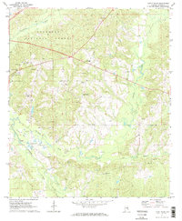
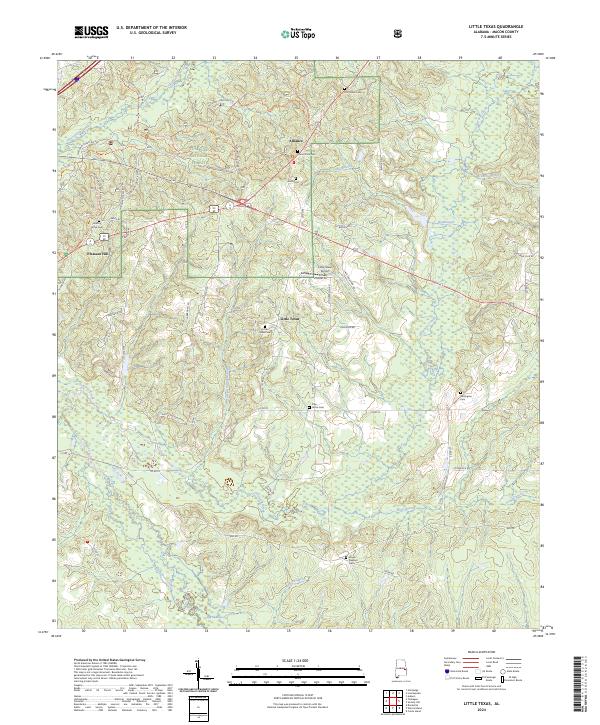
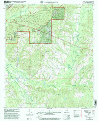 1998 Little Texas2001 Print · USGSMacon County in the late nineties shows a landscape divided between the timbered reaches of the Tuskegee National Forest and local gravel extraction. Genealogists can locate family landmarks at Little Texas, Alliance, and Hickory Grove Cem.
 - 2011 Map of Little Texas, 2011 Print
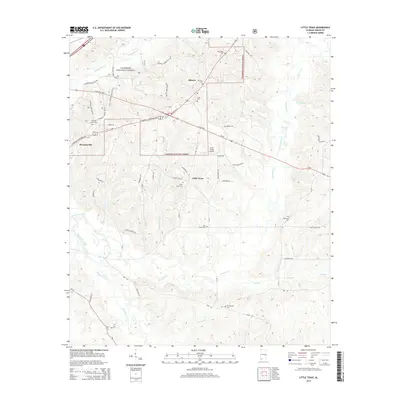
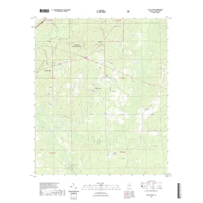
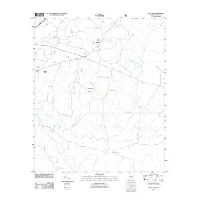 2011 Little Texas2011 Print · USGSCovers Little Texas, including Alliance, Pleasant Hill, and other nearby areas
 - 2014 Map of Little Texas, 2014 Print
 2014 Little Texas2014 Print · USGSCovers Little Texas, including Alliance, Pleasant Hill, and other nearby areas
 - 2018 Map of Little Texas, 2018 Print
 2018 Little Texas2018 Print · USGSCovers Little Texas, including Alliance, Pleasant Hill, and other nearby areas
 - 2021 Map of Little Texas, 2021 Print
 2021 Little Texas2021 Print · USGSCovers Little Texas, including Alliance, Pleasant Hill, and other nearby areas
 - 2024 Map of Little Texas, 2024 Print
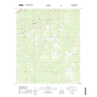
 2024 Little Texas2024 Print · USGSMacon County, Alabama, is captured here in recent years, showing the intersection of managed timberlands and long-standing rural communities. Researchers can trace family history through numerous burial sites like Hickory Grove Cem and Little Texas Cem or explore the Tuskegee National Forest.
End of results
Showing maps 1-11 of 11
Top cities near Little Texas
- Auburn historical maps
- Opelika historical maps
- Tuskegee historical maps
- Notasulga historical maps
- Franklin historical maps
- Hurtsboro historical maps
See more
Frequently asked questions
- What are the different types of historical maps available for Little Texas?
- What is the oldest map of Little Texas?
- Where can I purchase historical maps of Little Texas for my home or office?
- Where can I download high-res historical maps of Little Texas?
- Are there historical topographic maps available for Little Texas?
- Is there historical aerial imagery available for Little Texas?
- Where are historical maps of Little Texas sourced from?