2000s (21st Century) Maps of Demopolis, Alabama
Explore 20 historic maps of Demopolis from the 2000s (21st Century). These maps offer a rare glimpse into what life looked like during the 2000s — showing old roads, neighborhoods, homes, and landmarks that have changed or disappeared over time.
Whether you're researching your family's past, planning a metal detecting trip, or studying how Demopolis's landscape evolved across the 2000s, these high-resolution maps are a powerful tool for exploring the history of this region.
- Focus on a specific era: All maps on this page are from the 2000s, giving you a focused view of this time period.
- See what’s changed: Compare century-old streets, trails, and buildings to today's modern landscape using overlays and satellite layers.
- Research with precision: Use these maps for genealogy, historical research, land use analysis, or educational projects.
- View, download, or print: Maps are fully viewable online in high resolution, and can be downloaded or printed for your own records.
Start exploring Demopolis's history through authentic maps from the 2000s. This is your window into the past.
Demopolis, AL maps
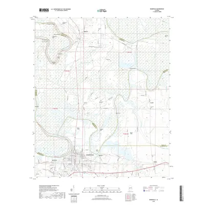
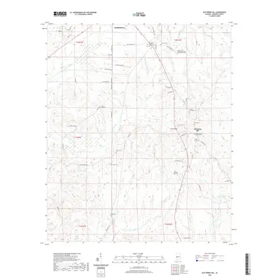
(20)- 2011 Map of Old Spring Hill, 2011 Print
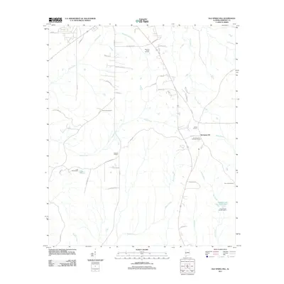 2011 Old Spring Hill2011 Print · USGSCovers Demopolis, including Old Spring Hill, Marengo County, and other nearby areas
 - 2011 Map of Jefferson, 2011 Print
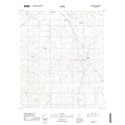
 2011 Jefferson2011 Print · USGSCovers Demopolis, including Jefferson, Salt Well, and other nearby areas
 - 2011 Map of Demopolis, 2011 Print
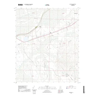
 2011 Demopolis2011 Print · USGSCovers Demopolis, including Shortleaf, Birdeye, and other nearby areas
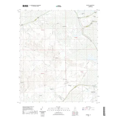
 - 2011 Map of McDowell, 2011 Print
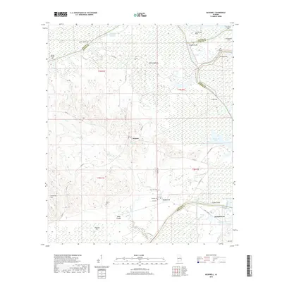
 2011 McDowell2011 Print · USGSCovers Demopolis, including Belmont, Hall Creek, and other nearby areas
 - 2014 Map of Demopolis, 2014 Print
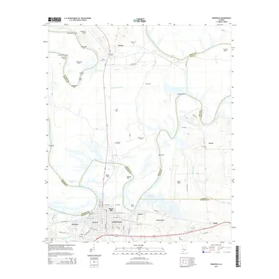 2014 Demopolis2014 Print · USGSCovers Demopolis, including Shortleaf, Birdeye, and other nearby areas
 - 2014 Map of McDowell, 2014 Print
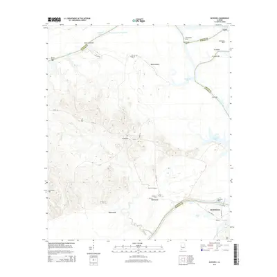 2014 McDowell2014 Print · USGSCovers Demopolis, including Belmont, Hall Creek, and other nearby areas
 - 2014 Map of Old Spring Hill, 2014 Print
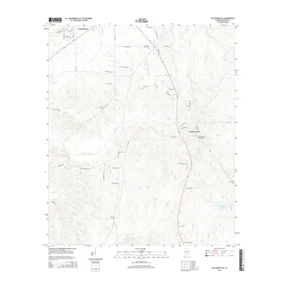 2014 Old Spring Hill2014 Print · USGSCovers Demopolis, including Old Spring Hill, Marengo County, and other nearby areas
 - 2014 Map of Jefferson, 2014 Print
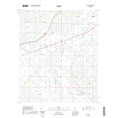
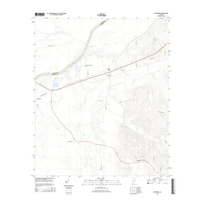 2014 Jefferson2014 Print · USGSCovers Demopolis, including Jefferson, Salt Well, and other nearby areas
 - 2018 Map of Jefferson, 2018 Print
 2018 Jefferson2018 Print · USGSCovers Demopolis, including Jefferson, Salt Well, and other nearby areas
 - 2018 Map of Demopolis, 2018 Print
 2018 Demopolis2018 Print · USGSCovers Demopolis, including Shortleaf, Birdeye, and other nearby areas
 - 2018 Map of McDowell, 2018 Print
 2018 McDowell2018 Print · USGSCovers Demopolis, including Belmont, Hall Creek, and other nearby areas
 - 2018 Map of Old Spring Hill, 2018 Print
 2018 Old Spring Hill2018 Print · USGSCovers Demopolis, including Old Spring Hill, Marengo County, and other nearby areas
 - 2020 Map of Old Spring Hill, 2020 Print
 2020 Old Spring Hill2020 Print · USGSCovers Demopolis, including Old Spring Hill, Marengo County, and other nearby areas
 - 2020 Map of McDowell, 2020 Print
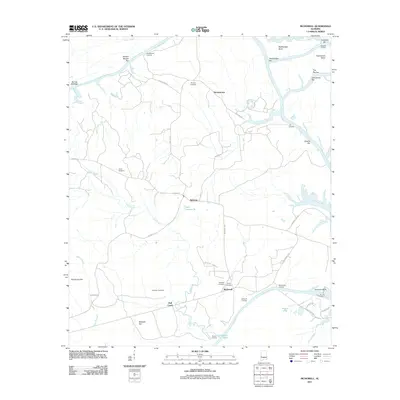
 2020 McDowell2020 Print · USGSCovers Demopolis, including Belmont, Hall Creek, and other nearby areas
 - 2020 Map of Jefferson, 2020 Print
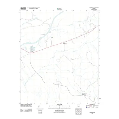
 2020 Jefferson2020 Print · USGSCovers Demopolis, including Jefferson, Salt Well, and other nearby areas
 - 2020 Map of Demopolis, 2020 Print
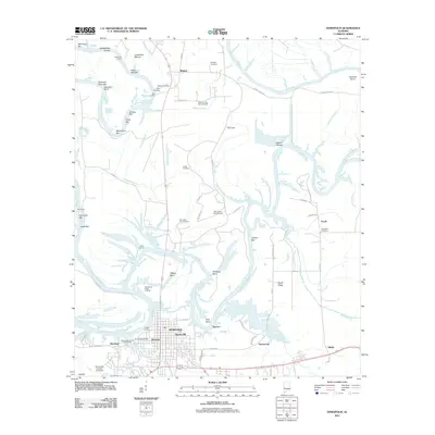
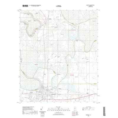 2020 Demopolis2020 Print · USGSCovers Demopolis, including Shortleaf, Birdeye, and other nearby areas
 - 2024 Map of McDowell, 2024 Print
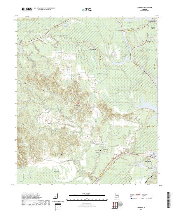 2024 McDowell2024 Print · USGSThe river-bound borders of Sumter and Marengo counties are captured here in the early twenty-first century. Genealogists and local historians can trace the positions of McDowell Ferry, Pinetop Cem, and the community of Belmont.
 - 2024 Map of Jefferson, 2024 Print
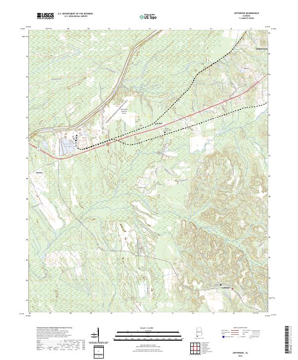 2024 Jefferson2024 Print · USGSMarengo County and the Tombigbee River bottomlands are shown here in the modern era. Genealogists and local historians can trace family sites at Millers Chapel Cem and small settlements like Jefferson and Moscow.
 - 2024 Map of Old Spring Hill, 2024 Print
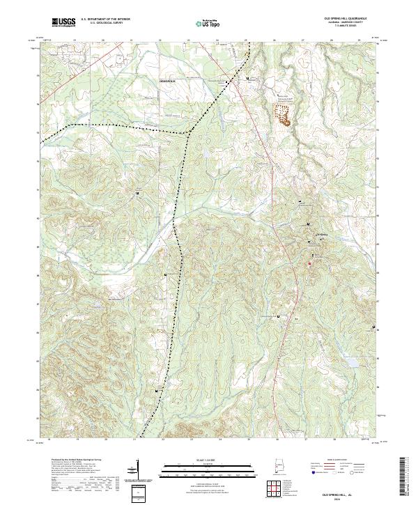 2024 Old Spring Hill2024 Print · USGSMarengo County's rural character is on full display in this recent survey of the area surrounding Old Spring Hill. Genealogists and historians can locate numerous family burial sites such as Fitzhugh Family Cem, Allen Curtis Cem, and Limestone Cem.
 - 2024 Map of Demopolis, 2024 Print
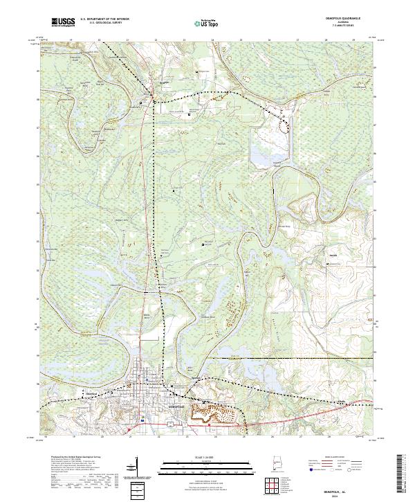 2024 Demopolis2024 Print · USGSThe river-driven landscape around Demopolis and Arcola is captured here in the twenty-first century. Researchers can trace the heritage of river travel through landmarks like Glovers Ferry and explore several family cemeteries including Arington Cem and Jerusalem Cem.
End of results
Showing maps 1-20 of 20
Top cities near Demopolis
- Greensboro historical maps
- Linden historical maps
- Forkland historical maps
- Thomaston historical maps
- Providence historical maps
- Dayton historical maps
Top neighborhoods of Demopolis
- Shortleaf historical maps
- Baptist Hill historical maps
- Knoxwood historical maps
- Spocari historical maps
- Rockcut historical maps
Frequently asked questions
- What are the different types of historical maps available for Demopolis?
- What is the oldest map of Demopolis?
- Where can I purchase historical maps of Demopolis for my home or office?
- Where can I download high-res historical maps of Demopolis?
- Are there historical topographic maps available for Demopolis?
- Is there historical aerial imagery available for Demopolis?
- Where are historical maps of Demopolis sourced from?