2020s Maps of Hackleburg, Alabama
Explore 6 historic maps of Hackleburg from the 2020s. These maps offer a rare glimpse into what life looked like during the 2020s — showing old roads, neighborhoods, homes, and landmarks that have changed or disappeared over time.
Whether you're researching your family's past, planning a metal detecting trip, or studying how Hackleburg's landscape evolved across the 2020s, these high-resolution maps are a powerful tool for exploring the history of this region.
- Focus on a specific era: All maps on this page are from the 2020s, giving you a focused view of this time period.
- See what’s changed: Compare century-old streets, trails, and buildings to today's modern landscape using overlays and satellite layers.
- Research with precision: Use these maps for genealogy, historical research, land use analysis, or educational projects.
- View, download, or print: Maps are fully viewable online in high resolution, and can be downloaded or printed for your own records.
Start exploring Hackleburg's history through authentic maps from the 2020s. This is your window into the past.
Hackleburg, AL maps
(6)- 2020 Map of Hodges, 2020 Print
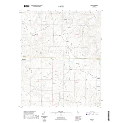 2020 Hodges2020 Print · USGSCovers Hackleburg, including Hodges, Atwood, and other nearby areas
 - 2020 Map of Hamilton NE, 2020 Print
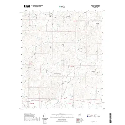 2020 Hamilton NE2020 Print · USGSCovers Hackleburg, including Bear Creek, Brinn, and other nearby areas
 - 2020 Map of Hackleburg, 2020 Print
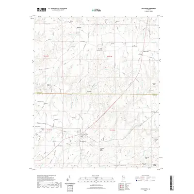 2020 Hackleburg2020 Print · USGSCovers Hackleburg, including Bear Creek, Gravel Hill, and other nearby areas
 - 2024 Map of Hamilton NE, 2024 Print
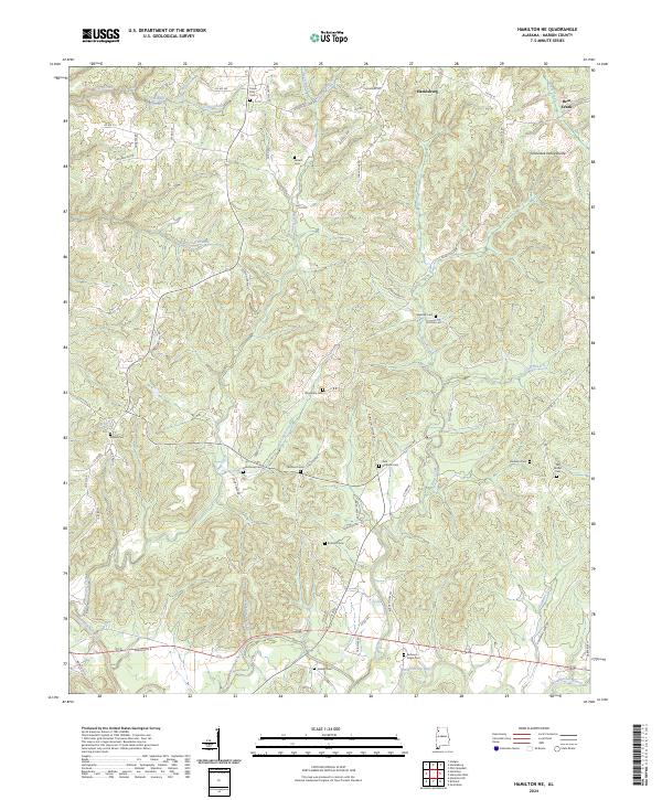 2024 Hamilton NE2024 Print · USGSMarion County's upland landscape is captured here in the contemporary era, centered on the Tennessee Valley Divide. Researchers can trace local lineage across numerous rural burial sites like Veto Burleson Cem, Old Bethel Cem, and Armstrong Cem.
 - 2024 Map of Hodges, 2024 Print
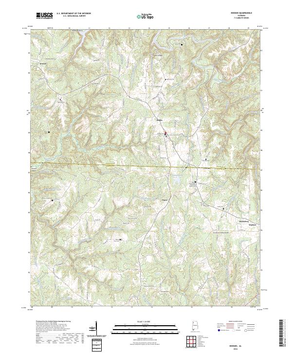 2024 Hodges2024 Print · USGSNorthwest Alabama at the Marion and Franklin County line comes alive in this survey of the high divides and creek bottoms. Local researchers can trace family roots through numerous sites like Hodges Cemetery, Pigeye, and the Tennessee Valley Divide.
 - 2024 Map of Hackleburg, 2024 Print
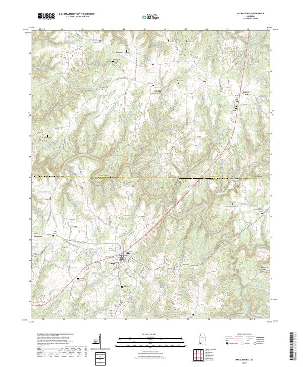 2024 Hackleburg2024 Print · USGSNorthwest Alabama at the edge of the Tennessee Valley comes into focus in this recent survey of the Marion and Franklin county line. Researchers can trace historic transit routes like Jackson Military Rd or locate family sites such as James Lawler Cem and Liberty Hill.
End of results
Showing maps 1-6 of 6
Top cities near Hackleburg
- Russellville historical maps
- Hamilton historical maps
- Haleyville historical maps
- Guin historical maps
- Bear Creek historical maps
- Phil Campbell historical maps
See more
Top neighborhoods of Hackleburg
Frequently asked questions
- What are the different types of historical maps available for Hackleburg?
- What is the oldest map of Hackleburg?
- Where can I purchase historical maps of Hackleburg for my home or office?
- Where can I download high-res historical maps of Hackleburg?
- Are there historical topographic maps available for Hackleburg?
- Is there historical aerial imagery available for Hackleburg?
- Where are historical maps of Hackleburg sourced from?