Old Maps of Hackleburg, Alabama for Hiking & Exploration
Hike through history with 28 historic maps of Hackleburg. Explore old trails, ghost towns, and forgotten backroads — perfect for outdoor adventurers and local explorers.
- Rediscover forgotten places: Map out old mining camps, roads, and footpaths that no longer exist on modern maps.
- Layer with modern tools: Combine with LiDAR or satellite views to plan hikes through historical terrain.
- Made for exploration: Popular among hikers, overlanders, and local history lovers.
Use these maps to find adventure and explore the hidden past of Hackleburg.
Hackleburg, AL maps
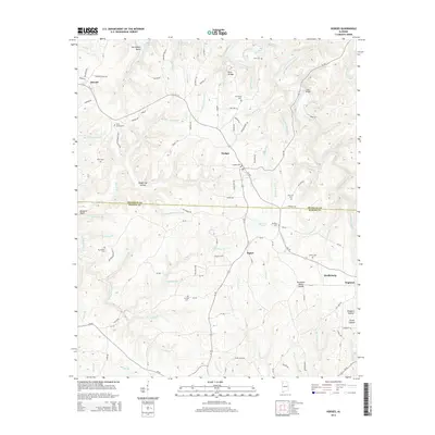
(28)- 1936 Map of Hodges
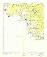 1936 Hodges1936 Print · USGSNorthwest Alabama at the height of the New Deal era reveals a rural landscape shaped by winding creeks and early industrial corridors. Genealogists can locate family landmarks like Mc Curley Cem, Old Lion Ch, and the historic Alabama Military Road.
 - 1936 Map of South Of Hackleburg
 1936 South Of Hackleburg1936 Print · USGSMarion County, Alabama, is captured in this mid-1930s field examination focused on the drainage of the Tennessee River system. Researchers can trace the hydrography of Brush Creek and the topography of the Basin and Divide.
 - 1936 Map of Hackleburg
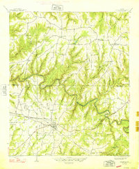
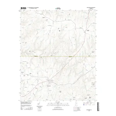
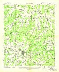 1936 Hackleburg1936 Print · USGSMarion and Franklin counties come into focus during the mid-thirties as the Tennessee Valley Authority began modernizing the rural landscape. Trace local heritage through landmarks like State Convict Camp D, the Jackson Military Road, and numerous family cemeteries including Grissom Cem.
 - 1946 Map of Hackleburg, 1960 Print
 1946 Hackleburg1960 Print · USGSHackleburg and the surrounding Marion County countryside are captured here in the mid-1940s, centered on the Illinois Central Railroad corridor. Researchers can locate early family landmarks like Lawler Cem or trace the old Military Road as it crosses Bear Creek.3 unique versions available
 - 1948 Map of Hackleburg
 1948 Hackleburg1948 Print · USGSHackleburg and the surrounding rural communities of Northwest Alabama are captured here shortly after the war, centered on the Illinois Central line. You can trace early transit routes along the Military Road and locate family landmarks like Lawler Cem and Gravel Hill School.2 unique versions available
 - 1949 Map of Hodges
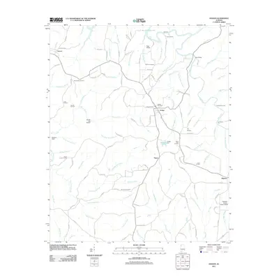
 1949 Hodges1949 Print · USGSNorthwest Alabama at the end of the 1940s reveals a network of small settlements and family landmarks centered on the Illinois Central railroad. Genealogists can trace local roots through sites like Holly Spring Ch, McCurley Cem, and the village of Hodges.2 unique versions available
 - 1956 Map of Gadsden, 1966 Print
 1956 Gadsden1966 Print · USGSNorth Alabama in the mid-1950s shows a region transformed by river engineering and federal industry. Genealogists and local historians can trace the development of the Tennessee Valley through the growth of Huntsville, the sprawling Redstone Arsenal, and the expansive Guntersville Lake.3 unique versions available
 - 1958 Map of Gadsden
 1958 Gadsden1958 Print · USGSNorth Alabama comes alive in the late 1950s as the Tennessee Valley Authority’s massive river projects and the rise of the space industry reshaped the landscape. Researchers can trace the mid-century footprints of Huntsville, Redstone Arsenal, and the riverside rail networks of the Southern railroad.
 - 1960 Map of Gadsden
 1960 Gadsden1960 Print · USGSNorthern Alabama in the mid-1950s is defined by the mighty Tennessee River and its massive reservoirs. Trace the development of Huntsville and Redstone Arsenal or explore the vast William B Bankhead National Forest.2 unique versions available
 - 1963 Map of Gadsden
 1963 Gadsden1963 Print · USGSNorthern Alabama underwent a dramatic mid-century transformation as the Tennessee Valley became a hub for defense and industry. Researchers can trace the development of the Redstone Arsenal, the route of the Natchez Trace Parkway, and long-standing rail lines like the Southern Railway.
 - 1967 Map of Hamilton NE, 1968 Print
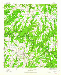
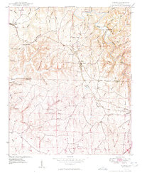
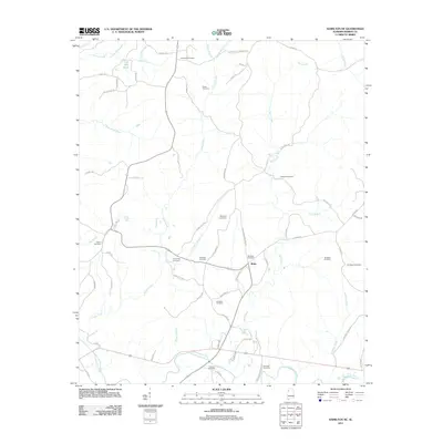
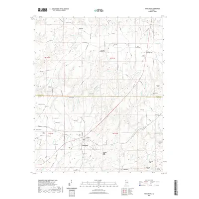
 1967 Hamilton NE1968 Print · USGSMarion County's rural landscape comes into focus during the mid-sixties, centered on the winding Buttahatchee River. Researchers can trace family roots through numerous sites like Federick Cem, Union Hill Ch, and the Southern Schoolhouse Ch.2 unique versions available
 - 1980 Map of Haleyville, 1983 Print
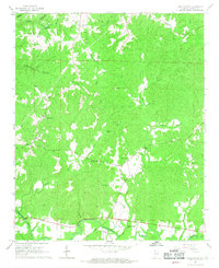
 1980 Haleyville1983 Print · USGSNorthwest Alabama at the start of the eighties shows a landscape of deep forests and new reservoirs as modern infrastructure settled into the hills. Researchers can trace the rail lines of the Southern and Illinois Central Gulf through towns like Haleyville, Moulton, and Natural Bridge.
 - 1998 Map of Hodges, 2000 Print
 1998 Hodges2000 Print · USGSThe rural borderlands of Franklin and Marion counties are captured here in the late twentieth century, centered on the railroad town of Hodges. Researchers can trace family history through sites like Old Lion Cemetery, Mt Zion Church, and the Illinois Central Railroad line.
 - 2011 Map of Hackleburg, 2011 Print
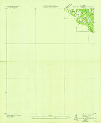
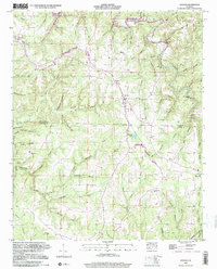
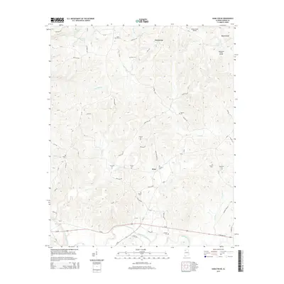
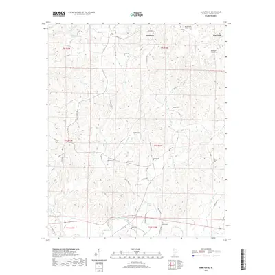
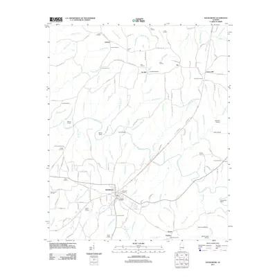 2011 Hackleburg2011 Print · USGSCovers Hackleburg, including Bear Creek, Gravel Hill, and other nearby areas
 - 2011 Map of Hamilton NE, 2011 Print
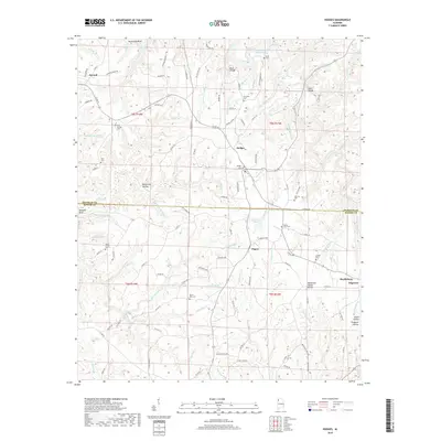
 2011 Hamilton NE2011 Print · USGSCovers Hackleburg, including Bear Creek, Brinn, and other nearby areas
 - 2011 Map of Hodges, 2011 Print
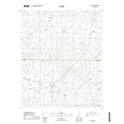
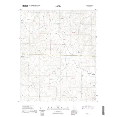
 2011 Hodges2011 Print · USGSCovers Hackleburg, including Hodges, Atwood, and other nearby areas
 - 2014 Map of Hackleburg, 2014 Print
 2014 Hackleburg2014 Print · USGSCovers Hackleburg, including Bear Creek, Gravel Hill, and other nearby areas
 - 2014 Map of Hamilton NE, 2014 Print
 2014 Hamilton NE2014 Print · USGSCovers Hackleburg, including Bear Creek, Brinn, and other nearby areas
 - 2014 Map of Hodges, 2014 Print
 2014 Hodges2014 Print · USGSCovers Hackleburg, including Hodges, Atwood, and other nearby areas
 - 2018 Map of Hackleburg, 2018 Print
 2018 Hackleburg2018 Print · USGSCovers Hackleburg, including Bear Creek, Gravel Hill, and other nearby areas
 - 2018 Map of Hodges, 2018 Print
 2018 Hodges2018 Print · USGSCovers Hackleburg, including Hodges, Atwood, and other nearby areas
 - 2018 Map of Hamilton NE, 2018 Print
 2018 Hamilton NE2018 Print · USGSCovers Hackleburg, including Bear Creek, Brinn, and other nearby areas
 - 2020 Map of Hodges, 2020 Print
 2020 Hodges2020 Print · USGSCovers Hackleburg, including Hodges, Atwood, and other nearby areas
 - 2020 Map of Hamilton NE, 2020 Print
 2020 Hamilton NE2020 Print · USGSCovers Hackleburg, including Bear Creek, Brinn, and other nearby areas
 - 2020 Map of Hackleburg, 2020 Print
 2020 Hackleburg2020 Print · USGSCovers Hackleburg, including Bear Creek, Gravel Hill, and other nearby areas
Showing maps 1-25 of 28
Top cities near Hackleburg
- Russellville historical maps
- Hamilton historical maps
- Haleyville historical maps
- Guin historical maps
- Bear Creek historical maps
- Phil Campbell historical maps
See more
Top neighborhoods of Hackleburg
Frequently asked questions
- What are the different types of historical maps available for Hackleburg?
- What is the oldest map of Hackleburg?
- Where can I purchase historical maps of Hackleburg for my home or office?
- Where can I download high-res historical maps of Hackleburg?
- Are there historical topographic maps available for Hackleburg?
- Is there historical aerial imagery available for Hackleburg?
- Where are historical maps of Hackleburg sourced from?