Old Maps of Hamilton, Alabama for Metal Detecting
Plan your next treasure hunt with 33 historic maps of Hamilton. Find old homesites, ghost towns, trails, and gathering spots that may be lost to time — perfect for identifying promising metal detecting locations.
- Locate forgotten sites: Uncover places like long-lost settlements, abandoned rail lines, or gathering spots.
- Plan better hunts: Use map overlays combined with LiDAR or satellite views to narrow in on historically rich areas.
- Made for detectorists: Thousands of hobbyists use these maps to discover relics, coins, and hidden history.
Use these historic maps to boost your research and find new opportunities beneath the surface of Hamilton.
Hamilton, AL maps
(33)- 1956 Map of Gadsden, 1966 Print
 1956 Gadsden1966 Print · USGSNorth Alabama in the mid-1950s shows a region transformed by river engineering and federal industry. Genealogists and local historians can trace the development of the Tennessee Valley through the growth of Huntsville, the sprawling Redstone Arsenal, and the expansive Guntersville Lake.3 unique versions available
 - 1956 Map of Tupelo, 1967 Print
 1956 Tupelo1967 Print · USGSNortheast Mississippi and parts of Tennessee and Alabama are shown here during the mid-fifties, a time of major reservoir construction and forestry management. Researchers can trace the St Louis-San Francisco RR through Tupelo or locate historic sites like Tishomingo State Park and the University.2 unique versions available
 - 1958 Map of Tupelo
 1958 Tupelo1958 Print · USGSNortheast Mississippi and neighboring Alabama and Tennessee appear here during the late fifties as a region defined by new reservoirs and historic rail lines. Genealogists can trace family locations near Sardis Lake, Woodall Mountain, and the St Louis-San Francisco Ry.
 - 1958 Map of Gadsden
 1958 Gadsden1958 Print · USGSNorth Alabama comes alive in the late 1950s as the Tennessee Valley Authority’s massive river projects and the rise of the space industry reshaped the landscape. Researchers can trace the mid-century footprints of Huntsville, Redstone Arsenal, and the riverside rail networks of the Southern railroad.
 - 1960 Map of Gadsden
 1960 Gadsden1960 Print · USGSNorthern Alabama in the mid-1950s is defined by the mighty Tennessee River and its massive reservoirs. Trace the development of Huntsville and Redstone Arsenal or explore the vast William B Bankhead National Forest.2 unique versions available
 - 1963 Map of Gadsden
 1963 Gadsden1963 Print · USGSNorthern Alabama underwent a dramatic mid-century transformation as the Tennessee Valley became a hub for defense and industry. Researchers can trace the development of the Redstone Arsenal, the route of the Natchez Trace Parkway, and long-standing rail lines like the Southern Railway.
 - 1967 Map of Weston, 1968 Print
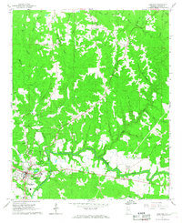
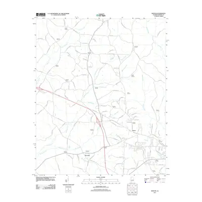
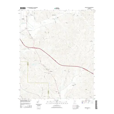
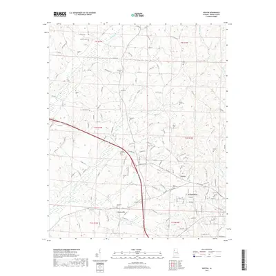
 1967 Weston1968 Print · USGSMarion County is seen here in the late sixties as a landscape of rural crossroads and family-run homesteads along the creeks. Researchers can trace ancestral locations at Gravel Springs Sch, Hamilton Cem, and the community at Weston.2 unique versions available
 - 1967 Map of Hamilton, 1968 Print
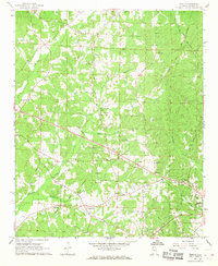
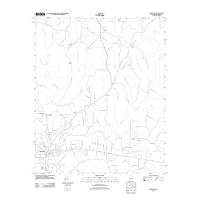
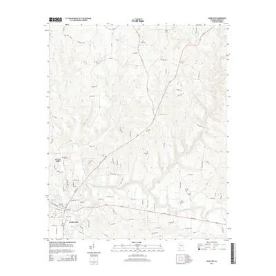
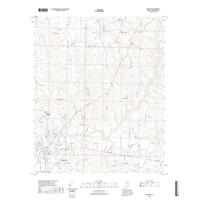
 1967 Hamilton1968 Print · USGSHamilton and the surrounding Marion County hills are captured here in the late sixties as the town expanded near the Buttahatchee River. Researchers can locate family landmarks like Streetman Cem, the Shiloh Sch, and the local Drive-in Theater.2 unique versions available
 - 1967 Map of Henson Springs, 1968 Print
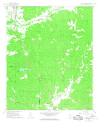
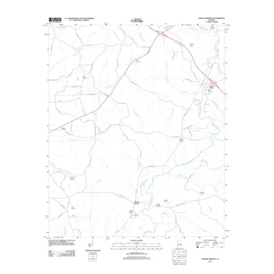
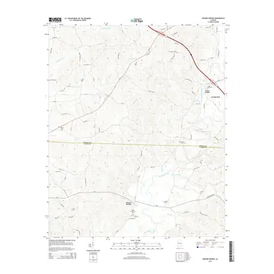
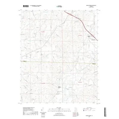
 1967 Henson Springs1968 Print · USGSMarion and Lamar Counties are captured in the late sixties, showing a landscape defined by the winding Buttahatchee River and rural settlement. Genealogists can trace family landmarks like the Henson Springs Cem, Ballard Ch Cem, and the Old Treaty Bdy.
 - 1967 Map of Hamilton SW, 1968 Print
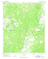
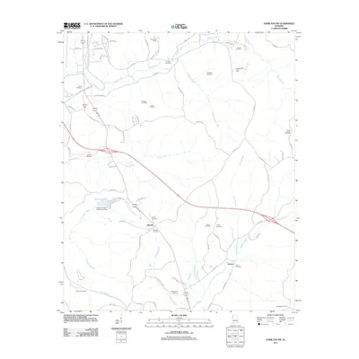
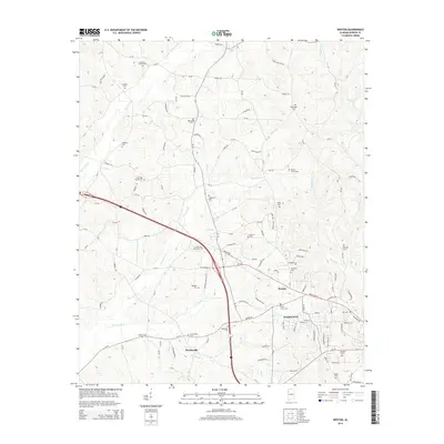
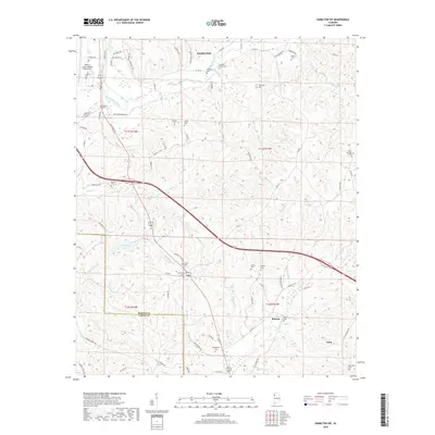
 1967 Hamilton SW1968 Print · USGSMarion County during the late sixties is depicted here as a landscape of small settlements and emerging infrastructure. Genealogists and local historians can trace the locations of family landmarks like Donham Cem, Liberty Ch, and the community of Pikeville.2 unique versions available
 - 1980 Map of Haleyville, 1983 Print
 1980 Haleyville1983 Print · USGSNorthwest Alabama at the start of the eighties shows a landscape of deep forests and new reservoirs as modern infrastructure settled into the hills. Researchers can trace the rail lines of the Southern and Illinois Central Gulf through towns like Haleyville, Moulton, and Natural Bridge.
 - 1984 Map of Tupelo
 1984 Tupelo1984 Print · USGSNorth Mississippi in the 1980s is defined by its massive river basin reservoirs and the growing regional hubs of Tupelo and Oxford. Researchers can trace the legacy of the Pontotoc Ridge, find the University of Mississippi, and map early Interstate corridors near Sardis Lake.3 unique versions available
 - 1984 Map of Tupelo, 1985 Print
 1984 Tupelo1985 Print · USGSNortheast Mississippi and the Alabama borderlands are shown in the mid-1980s as timber and river networks shaped the region. Trace local history through the Illinois Central Gulf rail line and sites like the Old Natchez Trace Parkway.
 - 2011 Map of Hamilton, 2011 Print
 2011 Hamilton2011 Print · USGSCovers Hamilton, including Pleasant Ridge, Marion County, and other nearby areas
 - 2011 Map of Hamilton SW, 2011 Print
 2011 Hamilton SW2011 Print · USGSCovers Hamilton, including Guin, Stinson, and other nearby areas
 - 2011 Map of Henson Springs, 2011 Print
 2011 Henson Springs2011 Print · USGSCovers Hamilton, including Fulton Bridge, Henson Springs, and other nearby areas
 - 2011 Map of Weston, 2011 Print
 2011 Weston2011 Print · USGSCovers Hamilton, including Barnesville, Weston, and other nearby areas
 - 2014 Map of Hamilton, 2014 Print
 2014 Hamilton2014 Print · USGSCovers Hamilton, including Pleasant Ridge, Marion County, and other nearby areas
 - 2014 Map of Hamilton SW, 2014 Print
 2014 Hamilton SW2014 Print · USGSCovers Hamilton, including Guin, Stinson, and other nearby areas
 - 2014 Map of Weston, 2014 Print
 2014 Weston2014 Print · USGSCovers Hamilton, including Barnesville, Weston, and other nearby areas
 - 2014 Map of Henson Springs, 2014 Print
 2014 Henson Springs2014 Print · USGSCovers Hamilton, including Fulton Bridge, Henson Springs, and other nearby areas
 - 2018 Map of Weston, 2018 Print
 2018 Weston2018 Print · USGSCovers Hamilton, including Barnesville, Weston, and other nearby areas
 - 2018 Map of Henson Springs, 2018 Print
 2018 Henson Springs2018 Print · USGSCovers Hamilton, including Fulton Bridge, Henson Springs, and other nearby areas
 - 2018 Map of Hamilton, 2018 Print
 2018 Hamilton2018 Print · USGSCovers Hamilton, including Pleasant Ridge, Marion County, and other nearby areas
 - 2018 Map of Hamilton SW, 2018 Print
 2018 Hamilton SW2018 Print · USGSCovers Hamilton, including Guin, Stinson, and other nearby areas
Showing maps 1-25 of 33
Top cities near Hamilton
- Winfield historical maps
- Guin historical maps
- Sulligent historical maps
- Hackleburg historical maps
- Bear Creek historical maps
- Brilliant historical maps
See more
Top neighborhoods of Hamilton
Frequently asked questions
- What are the different types of historical maps available for Hamilton?
- What is the oldest map of Hamilton?
- Where can I purchase historical maps of Hamilton for my home or office?
- Where can I download high-res historical maps of Hamilton?
- Are there historical topographic maps available for Hamilton?
- Is there historical aerial imagery available for Hamilton?
- Where are historical maps of Hamilton sourced from?