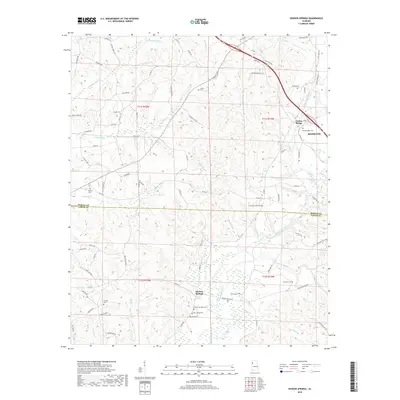
2018 Map of Henson Springs
USGS Topo · Published 2018About this map
Henson Springs anchors the southern portion of this landscape, situated near the headwaters of Henson Spring and surrounded by a high density of local burial grounds including the Henson Springs Cem and Crump Cem. The Buttahatchee River meanders across the eastern terrain, serving as a primary drainage for numerous smaller tributaries like Cantrell Mill Cr and Camp Br. The northern area is defined by the community of Fulton Bridge, which marks a historical crossing point near Hamilton.
Find a feature on this map
96 named features on this map. Tap any name to fly to it.
Don’t see what you’re looking for? This feature index may not catch every label — zoom into the map to look around manually.
Map Details
Editions of this 2018 Henson Springs Map
This is the sole edition of this map. No revisions or reprints were ever made.
Other maps of this area

1953 · Birmingham
USGS Topo · 1:250,000

1953 · West Point
USGS Topo · 1:250,000

1956 · Birmingham
USGS Topo · 1:250,000

1956 · Gadsden
USGS Topo · 1:250,000

1956 · Tupelo
USGS Topo · 1:250,000

1957 · Birmingham
USGS Topo · 1:250,000

1958 · Tupelo
USGS Topo · 1:250,000

1958 · West Point
USGS Topo · 1:250,000

1958 · Gadsden
USGS Topo · 1:250,000

1960 · Gadsden
USGS Topo · 1:250,000