Old Maps of Arab, Alabama for Hiking & Exploration
Hike through history with 33 historic maps of Arab. Explore old trails, ghost towns, and forgotten backroads — perfect for outdoor adventurers and local explorers.
- Rediscover forgotten places: Map out old mining camps, roads, and footpaths that no longer exist on modern maps.
- Layer with modern tools: Combine with LiDAR or satellite views to plan hikes through historical terrain.
- Made for exploration: Popular among hikers, overlanders, and local history lovers.
Use these maps to find adventure and explore the hidden past of Arab.
Arab, AL maps
(33)- 1885 Map of Gadsden
 1885 Gadsden1885 Print · USGSNortheast Alabama in the mid-1880s was a landscape of river-side landings and emerging rail towns. Genealogists and historians can trace the early foundations of Guntersville and Gadsden while locating rural landmarks like Hillian Store, Cottonville, and Law Landing.
 - 1888 Map of Cullman
 1888 Cullman1888 Print · USGSCullman and Morgan counties are shown in the late 1880s as the railroad fueled growth across the Sand Mountain region. Genealogists can trace early homesteads and commerce at Sobotka's Mill, Fort Bluff, and the riverside town of Blountsville.
 - 1888 Map of Gadsden
 1888 Gadsden1888 Print · USGSNorth Alabama's river valleys and plateau lands are captured here in the late nineteenth century as the region transitioned from river landings to rail transport. Researchers can locate early post offices and commerce centers like Hillian's Store, Guntersville, and the ferry at Ft Deposit.
 - 1892 Map of Cullman
 1892 Cullman1892 Print · USGSNorth-central Alabama's development is centered on the railroad corridor and rugged plateau country in the late nineteenth century. Genealogists can trace family footprints at Sobotka's Mill, along the historic Stout's Road, or near the remote Newsome Sinks.4 unique versions available
 - 1892 Map of Gadsden
 1892 Gadsden1892 Print · USGSNorth Alabama's river-and-rail economy is captured here in the late nineteenth century as Guntersville and Gadsden emerge as regional hubs. Genealogists and historians can trace the routes of the Birmingham Mineral R. R. or locate old community centers like Cottonville and Mt Zion.
 - 1895 Map of Gadsden
 1895 Gadsden1895 Print · USGSNortheast Alabama at the close of the century was a landscape of river landings and mountain gaps where the Tennessee River met growing rail hubs. Genealogists can trace family holdings near Hillian Store, Cottonville, and the remote heights of Lookout Mountain.
 - 1903 Map of Gadsden
 1903 Gadsden1903 Print · USGSNorthern Alabama in the late nineteenth century centers on the busy Tennessee River corridor and its surrounding ridges. Trace old family sites and transport hubs like Hillian Store, Lovelace Landing, and the Mt Zion church.4 unique versions available
 - 1936 Map of Hulaco
 1936 Hulaco1936 Print · USGSDuring the mid-1930s, this portion of northern Alabama was a landscape of mountain crossroads and rural congregations. Genealogists and researchers can trace family landmarks like Crawford Cem, Harvells Store, and local schools including Hulaco Sch.
 - 1936 Map of Arab
 1936 Arab1936 Print · USGSThe town of Arab and the surrounding ridges of Marshall and Cullman counties appear here in the mid-1930s. Researchers can trace the early footprint of the Guntersville Reservoir alongside Ellenberg's Mill and Rocky Mtn Ch.
 - 1948 Map of Arab, 1974 Print
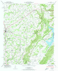 1948 Arab1974 Print · USGSMarshall County's upland plateaus and the Tennessee Valley Divide are captured here shortly after the Second World War. Researchers can trace rural lineages through sites like Johnsons Mill, Thrasher Crossroads, and the Brashier Chapel Cem.3 unique versions available
 - 1949 Map of Hulaco, 1976 Print
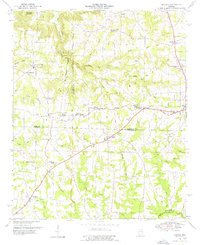 1949 Hulaco1976 Print · USGSNortheastern Cullman County and its neighboring borders are documented here in the late 1940s, showing a landscape defined by the Tennessee Valley Divide. Researchers can trace the early footprints of Joppa, Ryan Crossroads, and Baileyton, or locate rural landmarks like Hulaco Sch and Mt Oak Church.
 - 1950 Map of Arab
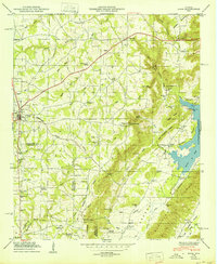 1950 Arab1950 Print · USGSThe Tennessee Valley uplands in the mid-century are captured here, centered on the growing town of Arab and its surrounding ridge-country settlements. Genealogists can trace family landmarks like Johnsons Mill, Ridgway Cem, and the rural community at Brashier Chapel.
 - 1952 Map of Hulaco
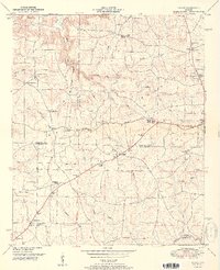 1952 Hulaco1952 Print · USGSAcross the rolling uplands of north Alabama in the early fifties, the Tennessee Valley Divide splits the landscape into distinct drainage basins. Local researchers can trace family roots through numerous rural landmarks like Ryan Crossroads, Hog Jaw, and the Baileyton Cem.2 unique versions available
 - 1956 Map of Gadsden, 1966 Print
 1956 Gadsden1966 Print · USGSNorth Alabama in the mid-1950s shows a region transformed by river engineering and federal industry. Genealogists and local historians can trace the development of the Tennessee Valley through the growth of Huntsville, the sprawling Redstone Arsenal, and the expansive Guntersville Lake.3 unique versions available
 - 1958 Map of Gadsden
 1958 Gadsden1958 Print · USGSNorth Alabama comes alive in the late 1950s as the Tennessee Valley Authority’s massive river projects and the rise of the space industry reshaped the landscape. Researchers can trace the mid-century footprints of Huntsville, Redstone Arsenal, and the riverside rail networks of the Southern railroad.
 - 1960 Map of Gadsden
 1960 Gadsden1960 Print · USGSNorthern Alabama in the mid-1950s is defined by the mighty Tennessee River and its massive reservoirs. Trace the development of Huntsville and Redstone Arsenal or explore the vast William B Bankhead National Forest.2 unique versions available
 - 1963 Map of Gadsden
 1963 Gadsden1963 Print · USGSNorthern Alabama underwent a dramatic mid-century transformation as the Tennessee Valley became a hub for defense and industry. Researchers can trace the development of the Redstone Arsenal, the route of the Natchez Trace Parkway, and long-standing rail lines like the Southern Railway.
 - 1975 Map of Arab, 1977 Print
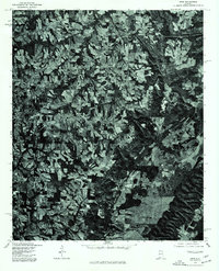 1975 Arab1977 Print · USGSMarshall County's high plateaus and rural crossroads are revealed in this mid-seventies aerial study of the Tennessee Valley foothills. Local historians can trace the growth of Arab or locate old property boundaries and farmsteads near Scant City and Red Hill.2 unique versions available
 - 1975 Map of Hulaco, 1977 Print
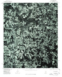 1975 Hulaco1977 Print · USGSThe rural landscape around the Cullman and Marshall county line is captured in the mid-seventies, showing the region's transformation into a modern agricultural hub. Researchers can pinpoint property boundaries and land use near settlements like Hulaco, Joppa, and the outskirts of Arab.
 - 1976 Map of Hulaco, 1977 Print
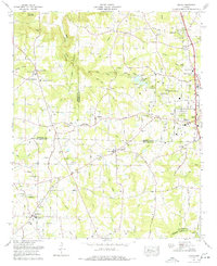 1976 Hulaco1977 Print · USGSNorth Alabama crossroads and family-run lands are captured here in the mid-1970s just as towns like Arab began to expand. Genealogists can trace family names and sites through Hebron Church, Crawford Cem, and the old settlement of Hulaco.
 - 1984 Map of Guntersville, 1985 Print
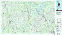 1984 Guntersville1985 Print · USGSNorthern Alabama at the start of the eighties shows a landscape shaped by massive TVA impoundments and a robust rail network. Genealogists and historians can trace family land across Brindley Mountain or near old rail stops on the Louisville and Nashville RR and Southern Ry.2 unique versions available
 - 2011 Map of Arab, 2011 Print
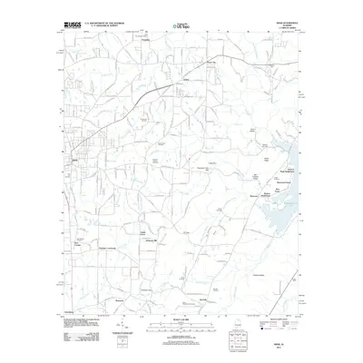 2011 Arab2011 Print · USGSThe Arab area and its surrounding ridgelines are captured here in the early twenty-first century, showing a mix of established rural crossroads and newer lakeside developments. Researchers can trace family history through numerous local sites like Johnsons Mill, Thrasher Crossroads, and the Brashier Chapel Cemetery.
 - 2011 Map of Hulaco, 2011 Print
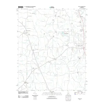 2011 Hulaco2011 Print · USGSMarshall County rural life is captured in detail here during the early 2010s, showing a landscape defined by farming and small communities. Genealogists can trace family landmarks like Ryan Memorial Gardens, Hebron Cemetery, and the John H Burden Dairy.
 - 2014 Map of Arab, 2014 Print
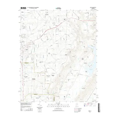 2014 Arab2014 Print · USGSMarshall County in the early 2010s shows the convergence of mountain ridges and growing highway corridors. Genealogists can locate family landmarks like Brashier Chapel Cem, Thrasher Crossroads, and the rural community of Askea Grove.
 - 2014 Map of Hulaco, 2014 Print
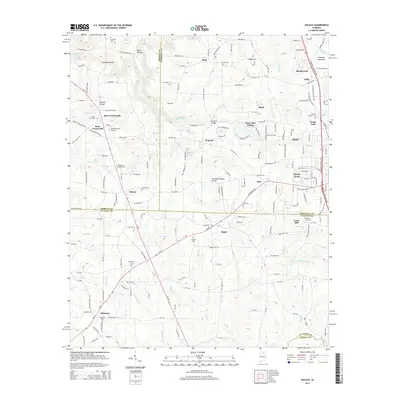 2014 Hulaco2014 Print · USGSNorth Alabama's multi-county borderlands come into focus in this modern era survey of the settlements surrounding the Tennessee Valley Divide. Trace ancestral roots through numerous local landmarks like Ryan Memorial Gardens, Hog Jaw, and the Corinth Cem.
Showing maps 1-25 of 33
Top cities near Arab
- Huntsville historical maps
- Guntersville historical maps
- New Hope historical maps
- Owens Cross Roads historical maps
- Blountsville historical maps
- Grant historical maps
See more
Top neighborhoods of Arab
- Rice historical maps
- Eddy historical maps
- Meadowood historical maps
- North Arab historical maps
- Pine Lake Village historical maps
- Sunset Acres historical maps
Frequently asked questions
- What are the different types of historical maps available for Arab?
- What is the oldest map of Arab?
- Where can I purchase historical maps of Arab for my home or office?
- Where can I download high-res historical maps of Arab?
- Are there historical topographic maps available for Arab?
- Is there historical aerial imagery available for Arab?
- Where are historical maps of Arab sourced from?