2000s (21st Century) Maps of Guntersville, Alabama
Explore 29 historic maps of Guntersville from the 2000s (21st Century). These maps offer a rare glimpse into what life looked like during the 2000s — showing old roads, neighborhoods, homes, and landmarks that have changed or disappeared over time.
Whether you're researching your family's past, planning a metal detecting trip, or studying how Guntersville's landscape evolved across the 2000s, these high-resolution maps are a powerful tool for exploring the history of this region.
- Focus on a specific era: All maps on this page are from the 2000s, giving you a focused view of this time period.
- See what’s changed: Compare century-old streets, trails, and buildings to today's modern landscape using overlays and satellite layers.
- Research with precision: Use these maps for genealogy, historical research, land use analysis, or educational projects.
- View, download, or print: Maps are fully viewable online in high resolution, and can be downloaded or printed for your own records.
Start exploring Guntersville's history through authentic maps from the 2000s. This is your window into the past.
Guntersville, AL maps
(29)- 2011 Map of Mount Carmel, 2011 Print
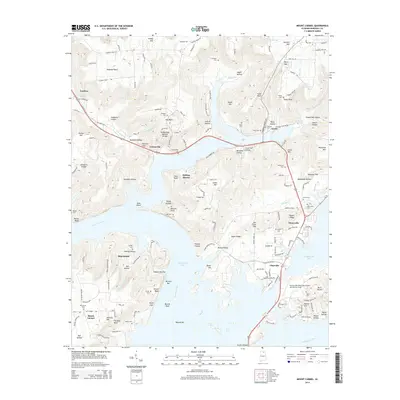
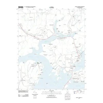 2011 Mount Carmel2011 Print · USGSCovers Guntersville, including Grant, Playground Shores, and other nearby areas
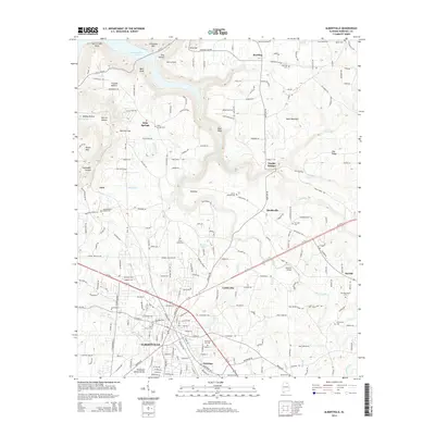
 - 2011 Map of Albertville, 2011 Print
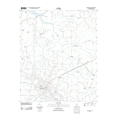 2011 Albertville2011 Print · USGSCovers Guntersville, including Albertville, Corbinville, and other nearby areas
 - 2011 Map of Columbus City, 2011 Print
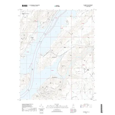
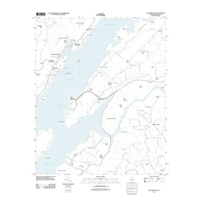 2011 Columbus City2011 Print · USGSCovers Guntersville, including Glen Haven, Tanglewood, and other nearby areas
 - 2011 Map of Grove Oak, 2011 Print
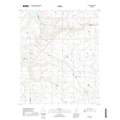
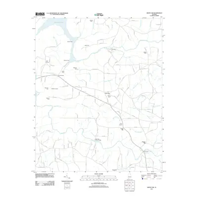 2011 Grove Oak2011 Print · USGSCovers Guntersville, including Grove Oak, Chigger Hill, and other nearby areas
 - 2011 Map of Guntersville, 2011 Print
 2011 Guntersville2011 Print · USGSCovers Guntersville, including Albertville, Lindsay Lane, and other nearby areas
 - 2014 Map of Columbus City, 2014 Print
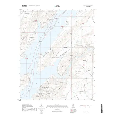
 2014 Columbus City2014 Print · USGSCovers Guntersville, including Glen Haven, Tanglewood, and other nearby areas
 - 2014 Map of Guntersville, 2014 Print
 2014 Guntersville2014 Print · USGSCovers Guntersville, including Albertville, Lindsay Lane, and other nearby areas
 - 2014 Map of Grove Oak, 2014 Print
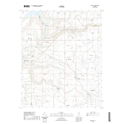
 2014 Grove Oak2014 Print · USGSCovers Guntersville, including Grove Oak, Chigger Hill, and other nearby areas
 - 2014 Map of Albertville, 2014 Print
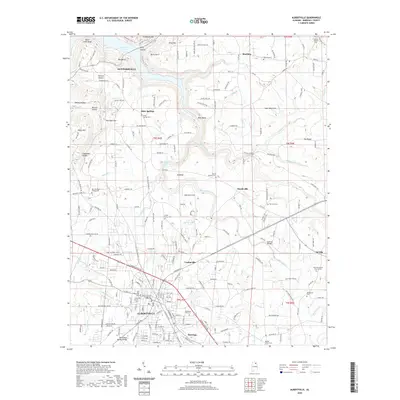
 2014 Albertville2014 Print · USGSCovers Guntersville, including Albertville, Corbinville, and other nearby areas
 - 2014 Map of Mount Carmel, 2014 Print
 2014 Mount Carmel2014 Print · USGSCovers Guntersville, including Grant, Playground Shores, and other nearby areas
 - 2018 Map of Grove Oak, 2018 Print
 2018 Grove Oak2018 Print · USGSCovers Guntersville, including Grove Oak, Chigger Hill, and other nearby areas
 - 2018 Map of Columbus City, 2018 Print
 2018 Columbus City2018 Print · USGSCovers Guntersville, including Glen Haven, Tanglewood, and other nearby areas
 - 2018 Map of Guntersville, 2018 Print
 2018 Guntersville2018 Print · USGSCovers Guntersville, including Albertville, Lindsay Lane, and other nearby areas
 - 2018 Map of Albertville, 2018 Print
 2018 Albertville2018 Print · USGSCovers Guntersville, including Albertville, Corbinville, and other nearby areas
 - 2018 Map of Mount Carmel, 2018 Print
 2018 Mount Carmel2018 Print · USGSCovers Guntersville, including Grant, Playground Shores, and other nearby areas
 - 2020 Map of Guntersville, 2020 Print
 2020 Guntersville2020 Print · USGSCovers Guntersville, including Albertville, Lindsay Lane, and other nearby areas
 - 2020 Map of Mount Carmel, 2020 Print
 2020 Mount Carmel2020 Print · USGSCovers Guntersville, including Grant, Playground Shores, and other nearby areas
 - 2020 Map of Grove Oak, 2020 Print
 2020 Grove Oak2020 Print · USGSCovers Guntersville, including Grove Oak, Chigger Hill, and other nearby areas
 - 2020 Map of Columbus City, 2020 Print
 2020 Columbus City2020 Print · USGSCovers Guntersville, including Glen Haven, Tanglewood, and other nearby areas
 - 2020 Map of Albertville, 2020 Print
 2020 Albertville2020 Print · USGSCovers Guntersville, including Albertville, Corbinville, and other nearby areas
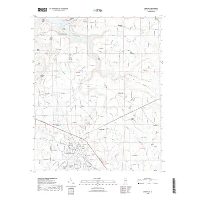
 - 2024 Map of Albertville, 2024 Print
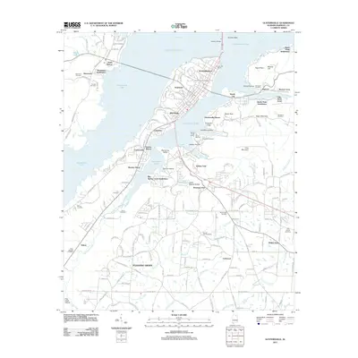
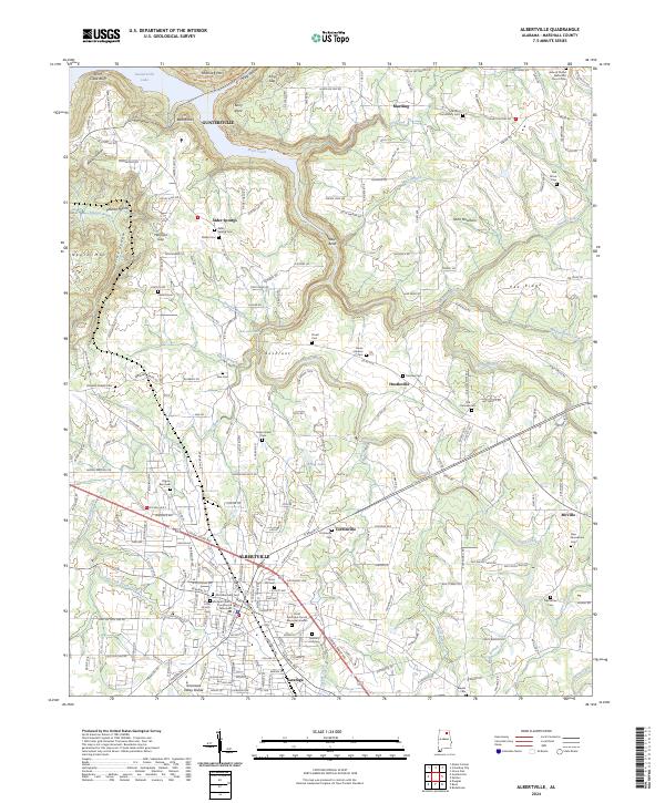 2024 Albertville2024 Print · USGSAlbertville and the surrounding Sand Mountain plateau are captured here in the contemporary era as the city expands toward Saratoga. Genealogists can locate dozens of burial sites including Old Albertville Cem, Old Fairview Cem, and Brashers Chapel Cem.
 - 2024 Map of Guntersville, 2024 Print
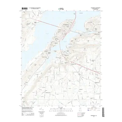
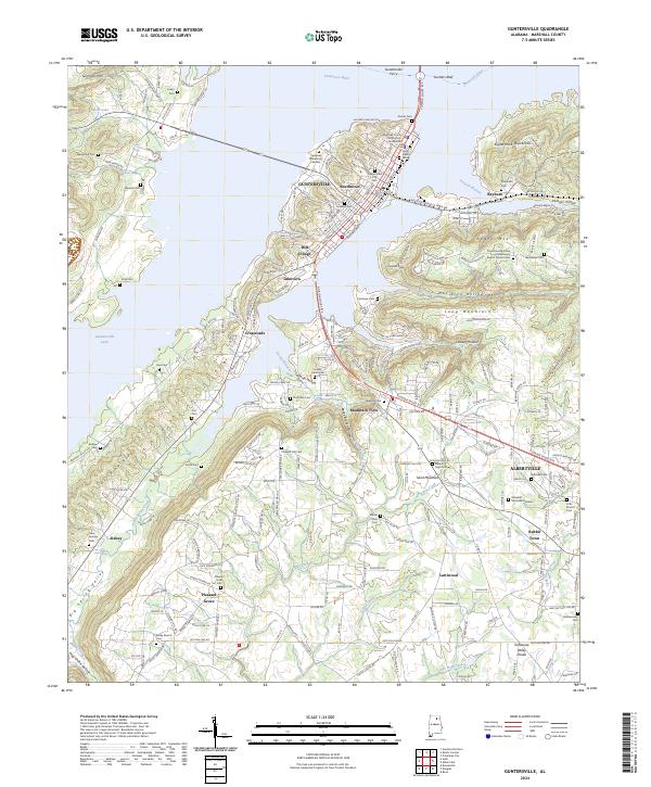 2024 Guntersville2024 Print · USGSThe Tennessee River valley and the heights of Sand Mountain are documented in this contemporary survey of Marshall County. Local researchers can trace family landmarks and rural communities from Rabbit Town to the Guntersville Ferry, including Rehobeth Cem and Mill Village.
 - 2024 Map of Grove Oak, 2024 Print
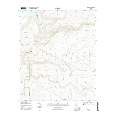
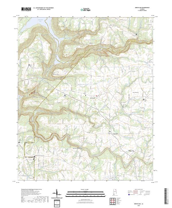 2024 Grove Oak2024 Print · USGSDeKalb County and the surrounding plateau come into focus in this contemporary survey of the Sand Mountain region. Local historians can trace family plots at Piney Grove Cem or locate geologic landmarks like High Falls Natural Bridge.
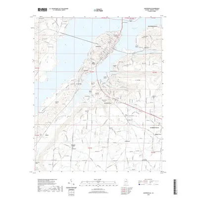
 - 2024 Map of Columbus City, 2024 Print
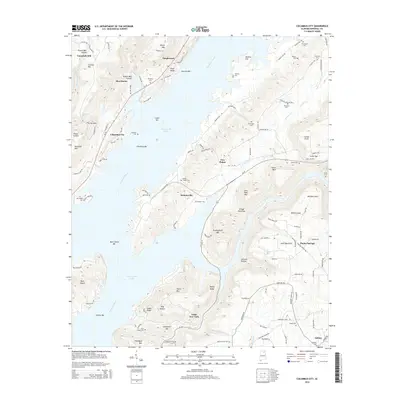
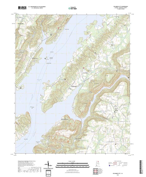 2024 Columbus City2024 Print · USGSThe Tennessee River and Guntersville Lake define this Marshall County landscape as it appears in the early twenty-first century. Genealogists and local historians can trace family ties at Old Prospect Cem or locate river landmarks like the Columbus City Ferry and Meltonsville.
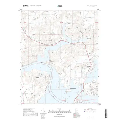
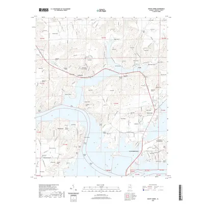
 - 2024 Map of Mount Carmel, 2024 Print
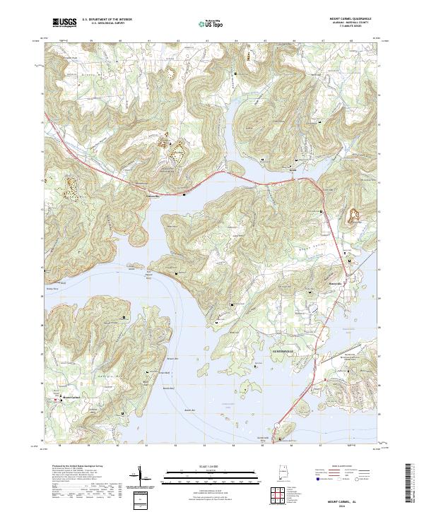 2024 Mount Carmel2024 Print · USGSMarshall County's river-rich landscape is captured in this modern survey of the Tennessee River's wide reaches and surrounding peaks. Researchers can trace historic river crossings like Honey Ferry and locate family burial grounds such as Cochran Cem and Mount Carmel Cem.
Showing maps 1-25 of 29
Top cities near Guntersville
- Huntsville historical maps
- Albertville historical maps
- Scottsboro historical maps
- Boaz historical maps
- Arab historical maps
- New Hope historical maps
See more
Top neighborhoods of Guntersville
- Lindsay Lane historical maps
- Mountain View historical maps
- Little New York historical maps
- Lakeview historical maps
- Meadow Wood historical maps
- Mill Village historical maps
See more
Frequently asked questions
- What are the different types of historical maps available for Guntersville?
- What is the oldest map of Guntersville?
- Where can I purchase historical maps of Guntersville for my home or office?
- Where can I download high-res historical maps of Guntersville?
- Are there historical topographic maps available for Guntersville?
- Is there historical aerial imagery available for Guntersville?
- Where are historical maps of Guntersville sourced from?