2020s Maps of Citronelle, Alabama
Explore 8 historic maps of Citronelle from the 2020s. These maps offer a rare glimpse into what life looked like during the 2020s — showing old roads, neighborhoods, homes, and landmarks that have changed or disappeared over time.
Whether you're researching your family's past, planning a metal detecting trip, or studying how Citronelle's landscape evolved across the 2020s, these high-resolution maps are a powerful tool for exploring the history of this region.
- Focus on a specific era: All maps on this page are from the 2020s, giving you a focused view of this time period.
- See what’s changed: Compare century-old streets, trails, and buildings to today's modern landscape using overlays and satellite layers.
- Research with precision: Use these maps for genealogy, historical research, land use analysis, or educational projects.
- View, download, or print: Maps are fully viewable online in high resolution, and can be downloaded or printed for your own records.
Start exploring Citronelle's history through authentic maps from the 2020s. This is your window into the past.
Citronelle, AL maps
(8)- 2020 Map of Deer Park, 2020 Print
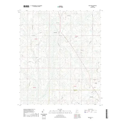 2020 Deer Park2020 Print · USGSCovers Citronelle, including Deer Park, Dwight, and other nearby areas
 - 2020 Map of Citronelle East, 2020 Print
 2020 Citronelle East2020 Print · USGSCovers Citronelle, including Lambert, Lambert Grove, and other nearby areas
 - 2020 Map of Sims Chapel, 2020 Print
 2020 Sims Chapel2020 Print · USGSCovers Citronelle, including Sims Chapel, Mobile County, and other nearby areas
 - 2020 Map of Citronelle West, 2020 Print
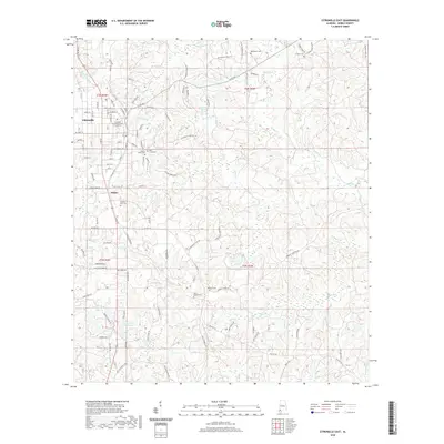
 2020 Citronelle West2020 Print · USGSCovers Citronelle, including Mobile County, Washington County, and other nearby areas
 - 2024 Map of Sims Chapel, 2024 Print
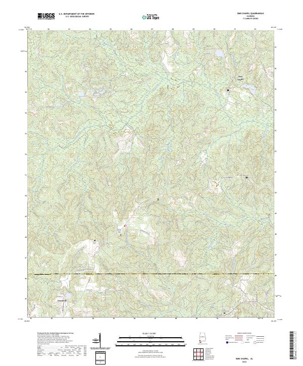 2024 Sims Chapel2024 Print · USGSSouthern Washington County at the edge of the Mobile County line is shown here in the 2020s, dominated by timberlands and creek-fed bayous. Local researchers can trace family sites like Sims Chapel Cem, Charity Chapel Cem, and the community of Smithville.
 - 2024 Map of Citronelle East, 2024 Print
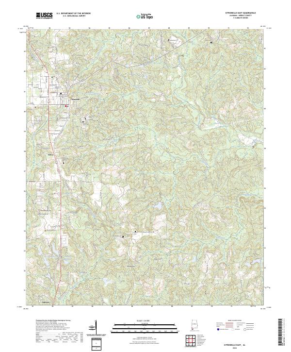 2024 Citronelle East2024 Print · USGSMobile County’s piney woods and creek bottoms are documented here in recent years, centered on the historic rail town of Citronelle. Genealogists and local researchers can locate numerous family burial sites such as Saint Annes Cem, Pilgrims Rest Cem, and the historic Vienna Ferry.
 - 2024 Map of Citronelle West, 2024 Print
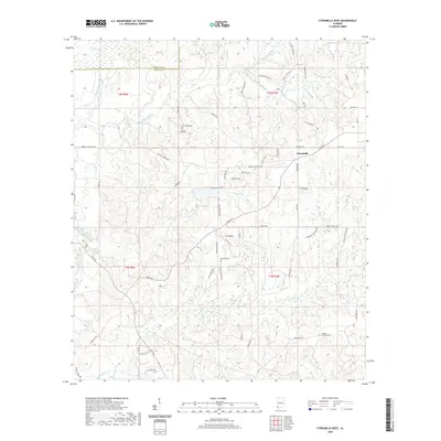
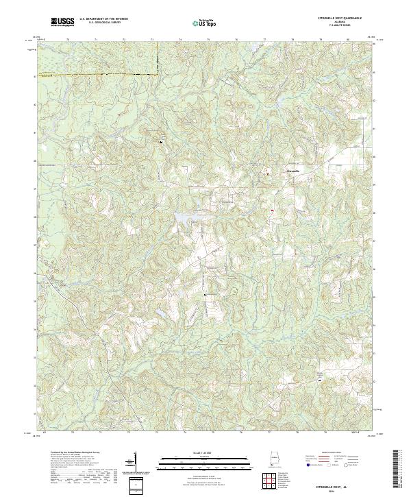 2024 Citronelle West2024 Print · USGSThe western outskirts of Citronelle and the Mobile-Washington county line are detailed in this contemporary survey of southwest Alabama. Researchers can trace family history through local landmarks like Brannan Cem and the waters of Lotts Mill Creek.
 - 2024 Map of Deer Park, 2024 Print
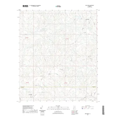
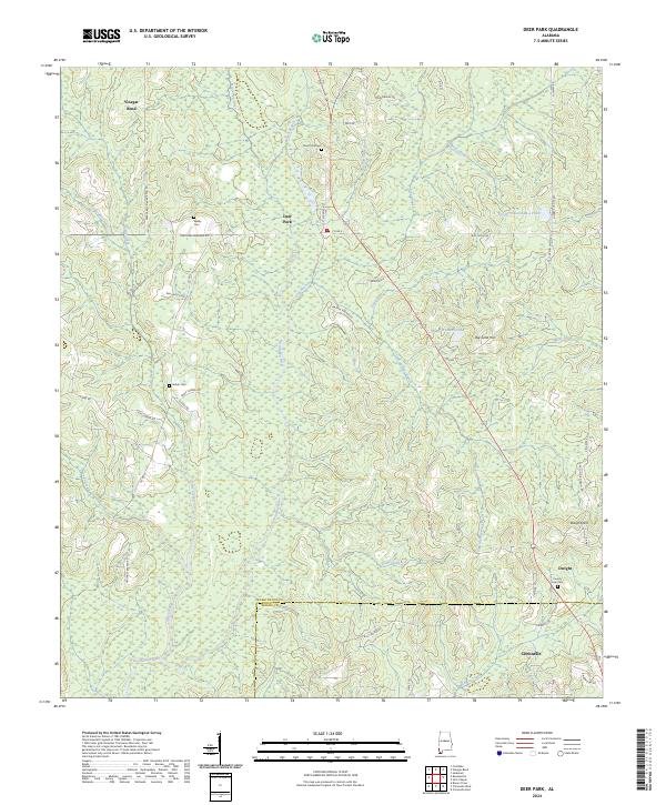 2024 Deer Park2024 Print · USGSIn the piney woods of southwest Alabama, this study documents the communities of Deer Park and Vinegar Bend during their modern era. Genealogists can locate family-named sites like Weldy Cem, Shiloh Cem, and the waters of the Escatawpa River.
End of results
Showing maps 1-8 of 8
Top cities near Citronelle
- Saraland historical maps
- Satsuma historical maps
- Creola historical maps
- Mount Vernon historical maps
- Movico historical maps
- McIntosh historical maps
Top neighborhoods of Citronelle
Frequently asked questions
- What are the different types of historical maps available for Citronelle?
- What is the oldest map of Citronelle?
- Where can I purchase historical maps of Citronelle for my home or office?
- Where can I download high-res historical maps of Citronelle?
- Are there historical topographic maps available for Citronelle?
- Is there historical aerial imagery available for Citronelle?
- Where are historical maps of Citronelle sourced from?