2000s (21st Century) Maps of Mobile, Alabama
Explore 50 historic maps of Mobile from the 2000s (21st Century). These maps offer a rare glimpse into what life looked like during the 2000s — showing old roads, neighborhoods, homes, and landmarks that have changed or disappeared over time.
Whether you're researching your family's past, planning a metal detecting trip, or studying how Mobile's landscape evolved across the 2000s, these high-resolution maps are a powerful tool for exploring the history of this region.
- Focus on a specific era: All maps on this page are from the 2000s, giving you a focused view of this time period.
- See what’s changed: Compare century-old streets, trails, and buildings to today's modern landscape using overlays and satellite layers.
- Research with precision: Use these maps for genealogy, historical research, land use analysis, or educational projects.
- View, download, or print: Maps are fully viewable online in high resolution, and can be downloaded or printed for your own records.
Start exploring Mobile's history through authentic maps from the 2000s. This is your window into the past.
Mobile, AL maps
(50)- 2011 Map of Kushla, 2011 Print
 2011 Kushla2011 Print · USGSCovers Mobile, including Prichard, Saraland, and other nearby areas
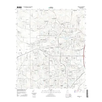
 - 2011 Map of Spring Hill, 2011 Print
 2011 Spring Hill2011 Print · USGSCovers Mobile, including Prichard, Semmes, and other nearby areas
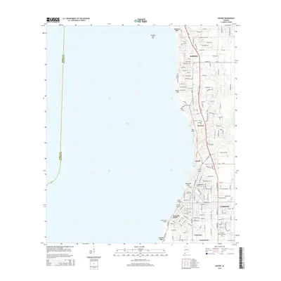
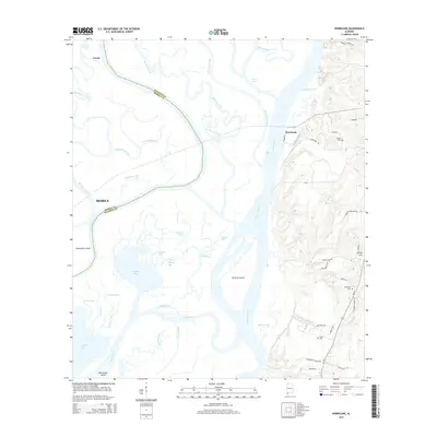
 - 2011 Map of Theodore, 2011 Print
 2011 Theodore2011 Print · USGSCovers Mobile, including Tillmans Corner, Theodore, and other nearby areas
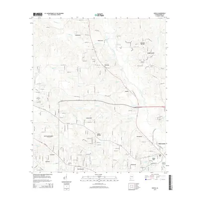
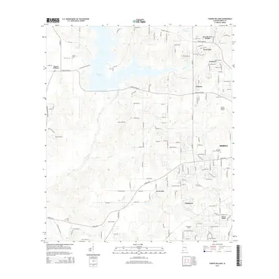
 - 2011 Map of Tanner Williams, 2011 Print
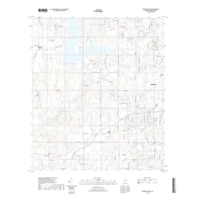
 2011 Tanner Williams2011 Print · USGSCovers Mobile, including Semmes, Ponderosa, and other nearby areas
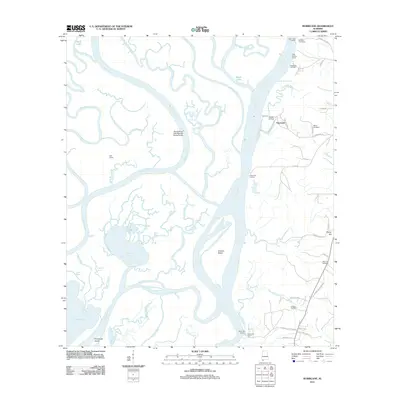
 - 2011 Map of Hollingers Island, 2011 Print
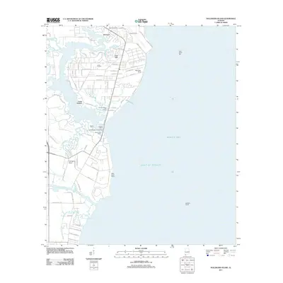 2011 Hollingers Island2011 Print · USGSCovers Mobile, including Clarke Gardens, Michele Estates, and other nearby areas
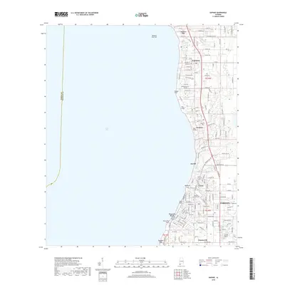
 - 2011 Map of Daphne, 2011 Print
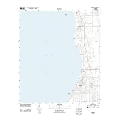 2011 Daphne2011 Print · USGSCovers Mobile, including Daphne, Fairhope, and other nearby areas
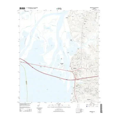
 - 2011 Map of Bridgehead, 2011 Print
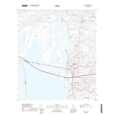
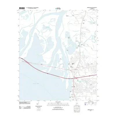 2011 Bridgehead2011 Print · USGSCovers Mobile, including Daphne, Spanish Fort, and other nearby areas
 - 2011 Map of Chickasaw, 2011 Print
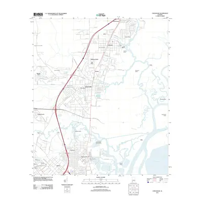 2011 Chickasaw2011 Print · USGSCovers Mobile, including Prichard, Saraland, and other nearby areas
 - 2011 Map of Mobile, 2011 Print
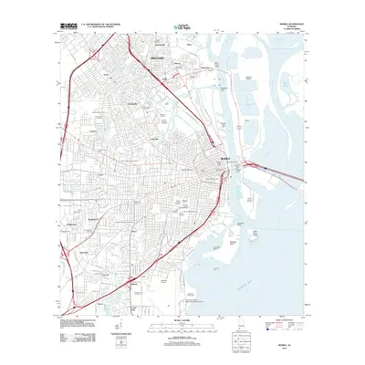 2011 Mobile2011 Print · USGSCovers Mobile, including Prichard, Spanish Fort, and other nearby areas
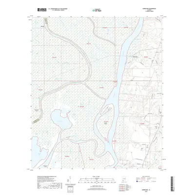
 - 2011 Map of Hurricane, 2011 Print
 2011 Hurricane2011 Print · USGSCovers Mobile, including Creola, Hurricane, and other nearby areas
 - 2014 Map of Daphne, 2014 Print
 2014 Daphne2014 Print · USGSCovers Mobile, including Daphne, Fairhope, and other nearby areas
 - 2014 Map of Spring Hill, 2014 Print
 2014 Spring Hill2014 Print · USGSCovers Mobile, including Prichard, Semmes, and other nearby areas
 - 2014 Map of Kushla, 2014 Print
 2014 Kushla2014 Print · USGSCovers Mobile, including Prichard, Saraland, and other nearby areas
 - 2014 Map of Bridgehead, 2014 Print
 2014 Bridgehead2014 Print · USGSCovers Mobile, including Daphne, Spanish Fort, and other nearby areas
 - 2014 Map of Hurricane, 2014 Print
 2014 Hurricane2014 Print · USGSCovers Mobile, including Creola, Hurricane, and other nearby areas
 - 2014 Map of Tanner Williams, 2014 Print
 2014 Tanner Williams2014 Print · USGSCovers Mobile, including Semmes, Ponderosa, and other nearby areas
 - 2014 Map of Theodore, 2014 Print
 2014 Theodore2014 Print · USGSCovers Mobile, including Tillmans Corner, Theodore, and other nearby areas
 - 2014 Map of Chickasaw, 2014 Print
 2014 Chickasaw2014 Print · USGSCovers Mobile, including Prichard, Saraland, and other nearby areas
 - 2014 Map of Hollingers Island, 2014 Print
 2014 Hollingers Island2014 Print · USGSCovers Mobile, including Clarke Gardens, Michele Estates, and other nearby areas
 - 2014 Map of Mobile, 2014 Print
 2014 Mobile2014 Print · USGSCovers Mobile, including Prichard, Spanish Fort, and other nearby areas
 - 2018 Map of Hurricane, 2018 Print
 2018 Hurricane2018 Print · USGSCovers Mobile, including Creola, Hurricane, and other nearby areas
 - 2018 Map of Daphne, 2018 Print
 2018 Daphne2018 Print · USGSCovers Mobile, including Daphne, Fairhope, and other nearby areas
 - 2018 Map of Bridgehead, 2018 Print
 2018 Bridgehead2018 Print · USGSCovers Mobile, including Daphne, Spanish Fort, and other nearby areas
 - 2018 Map of Tanner Williams, 2018 Print
 2018 Tanner Williams2018 Print · USGSCovers Mobile, including Semmes, Ponderosa, and other nearby areas
 - 2018 Map of Spring Hill, 2018 Print
 2018 Spring Hill2018 Print · USGSCovers Mobile, including Prichard, Semmes, and other nearby areas
Showing maps 1-25 of 50
Top cities near Mobile
- Daphne historical maps
- Fairhope historical maps
- Prichard historical maps
- Tillmans Corner historical maps
- Saraland historical maps
- Spanish Fort historical maps
See more
Top neighborhoods of Mobile
- Pine Grove historical maps
- Eau Claire Estates historical maps
- Meadow Lane Estates historical maps
- Regency historical maps
- Pine Run historical maps
- Neshota historical maps
See more
Frequently asked questions
- What are the different types of historical maps available for Mobile?
- What is the oldest map of Mobile?
- Where can I purchase historical maps of Mobile for my home or office?
- Where can I download high-res historical maps of Mobile?
- Are there historical topographic maps available for Mobile?
- Is there historical aerial imagery available for Mobile?
- Where are historical maps of Mobile sourced from?