2020s Maps of Montgomery, Alabama
Explore 16 historic maps of Montgomery from the 2020s. These maps offer a rare glimpse into what life looked like during the 2020s — showing old roads, neighborhoods, homes, and landmarks that have changed or disappeared over time.
Whether you're researching your family's past, planning a metal detecting trip, or studying how Montgomery's landscape evolved across the 2020s, these high-resolution maps are a powerful tool for exploring the history of this region.
- Focus on a specific era: All maps on this page are from the 2020s, giving you a focused view of this time period.
- See what’s changed: Compare century-old streets, trails, and buildings to today's modern landscape using overlays and satellite layers.
- Research with precision: Use these maps for genealogy, historical research, land use analysis, or educational projects.
- View, download, or print: Maps are fully viewable online in high resolution, and can be downloaded or printed for your own records.
Start exploring Montgomery's history through authentic maps from the 2020s. This is your window into the past.
Montgomery, AL maps
(16)- 2020 Map of Montgomery North, 2020 Print
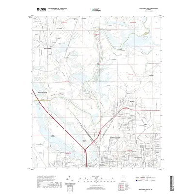 2020 Montgomery North2020 Print · USGSCovers Montgomery, including Prattville, Millbrook, and other nearby areas
 - 2020 Map of Montgomery South, 2020 Print
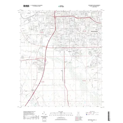 2020 Montgomery South2020 Print · USGSCovers Montgomery, including Bellemeade, McGehees, and other nearby areas
 - 2020 Map of Mount Meigs, 2020 Print
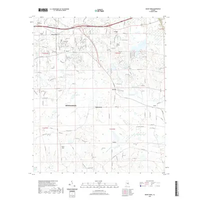 2020 Mount Meigs2020 Print · USGSCovers Montgomery, including Pike Road, Knollwood, and other nearby areas
 - 2020 Map of Barachias, 2020 Print
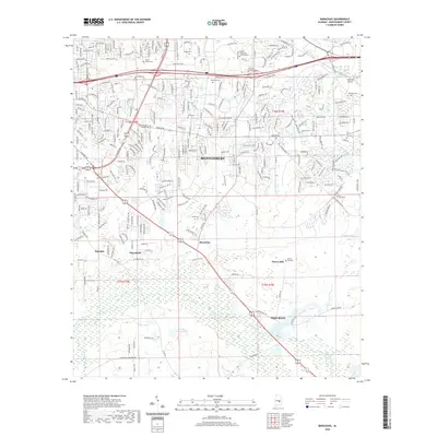 2020 Barachias2020 Print · USGSCovers Montgomery, including Pike Road, Pinedale, and other nearby areas
 - 2020 Map of Prattville, 2020 Print
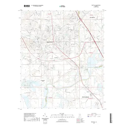 2020 Prattville2020 Print · USGSCovers Montgomery, including Prattville, Millbrook, and other nearby areas
 - 2020 Map of Brassell, 2020 Print
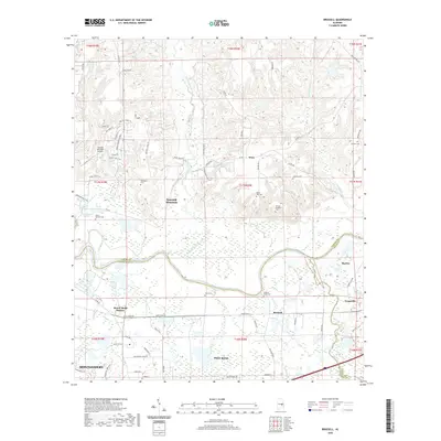 2020 Brassell2020 Print · USGSCovers Montgomery, including Pike Road, Emerald Mountain, and other nearby areas
 - 2020 Map of Cantelous, 2020 Print
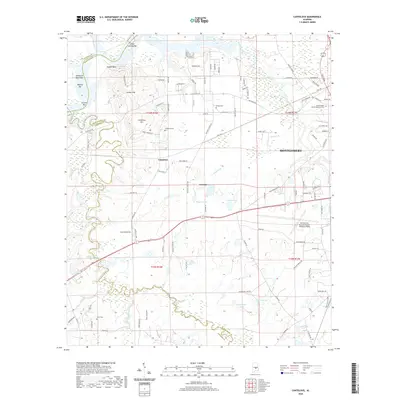 2020 Cantelous2020 Print · USGSCovers Montgomery, including Brewer Estates, Antioch, and other nearby areas
 - 2020 Map of Willow Springs, 2020 Print
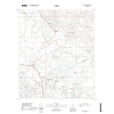 2020 Willow Springs2020 Print · USGSCovers Montgomery, including Wetumpka, Emerald Mountain, and other nearby areas
 - 2024 Map of Brassell, 2024 Print
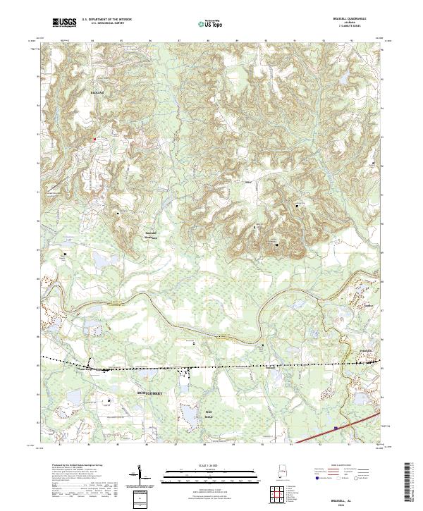 2024 Brassell2024 Print · USGSCentral Alabama's riverfront and growing suburbs are documented here as they appeared in the early 2020s. Genealogists can locate several local burial sites, including Billingslea Cem, Anthony Cem, and Wares Quarter Cem.
 - 2024 Map of Prattville, 2024 Print
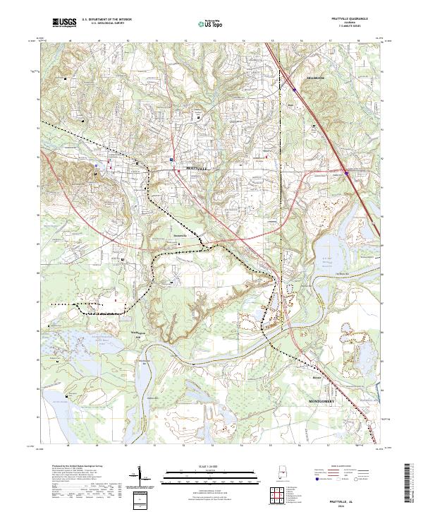 2024 Prattville2024 Print · USGSPrattville and the Alabama River valley are shown here in the 2020s, highlighting the area's transition from early industrial roots to modern regional hubs. Genealogists and local historians can locate several family burial sites like Durden Cem and trace historic river crossings near Washington Bar or The Rocks Bar.
 - 2024 Map of Montgomery North, 2024 Print
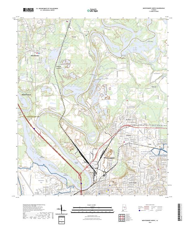 2024 Montgomery North2024 Print · USGSThe northern reaches of the Alabama state capital meet the winding Tallapoosa and Coosa rivers in the early twenty-first century. Genealogists and local historians can trace the grounds of Oakwood Cemetery or locate old neighborhood landmarks in Capitol Heights, Boylston, and Chisholm.
 - 2024 Map of Cantelous, 2024 Print
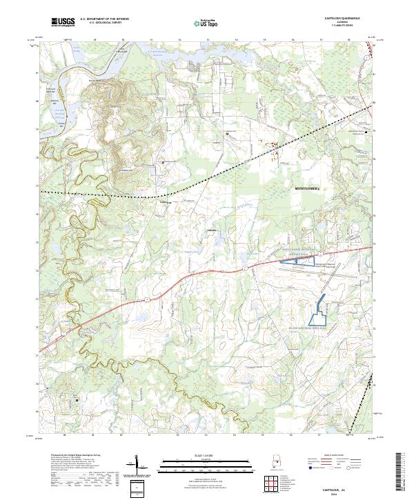 2024 Cantelous2024 Print · USGSThe outskirts of Montgomery come into focus in 2024, showing the balance between suburban expansion and the river-bottom lands of the Alabama River. Genealogists can trace family names at Stones Cem, Cantelous Cem, and Kindle Baptist Church & Memorial Cem.
 - 2024 Map of Mount Meigs, 2024 Print
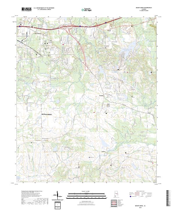 2024 Mount Meigs2024 Print · USGSThe rural outskirts of Montgomery are meticulously mapped in the current era, showing the intersection of suburban growth and historic landscapes. Genealogists can locate numerous small burial sites like Mitchell Cem and Gilder Cem near the town of Mount Meigs.
 - 2024 Map of Willow Springs, 2024 Print
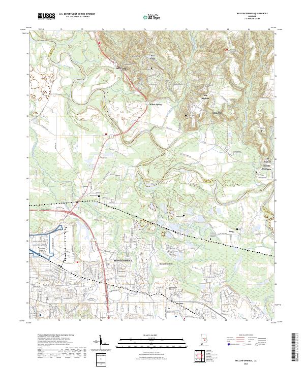 2024 Willow Springs2024 Print · USGSMontgomery and Wetumpka appear in this contemporary survey of the Elmore and Montgomery county line. Researchers can trace the expansion of the state capital alongside long-standing landmarks like Maxwell AFB Gunter Annex, Brassell Bottom, and Marshall Cem.
 - 2024 Map of Montgomery South, 2024 Print
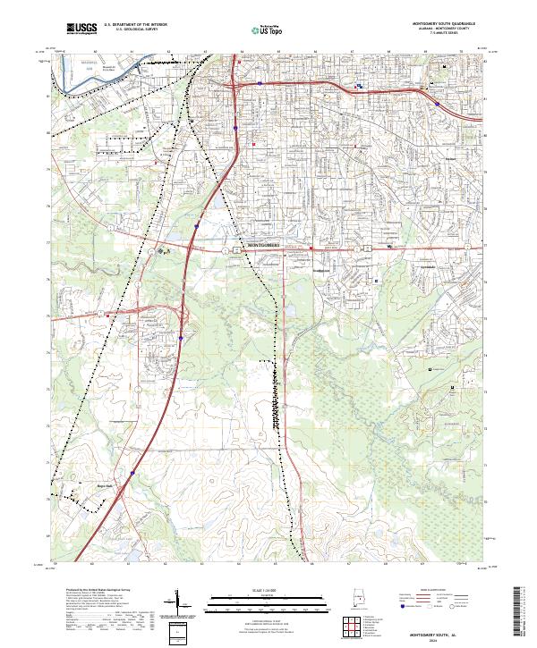 2024 Montgomery South2024 Print · USGSThe southern reaches of Alabama's capital are captured here at a modern moment of suburban and industrial growth. Genealogists and local historians can locate family burial sites at Greenwood Cemetery or Troy Chapel Cem and trace the development of Hope Hull and Southmont.
 - 2024 Map of Barachias, 2024 Print
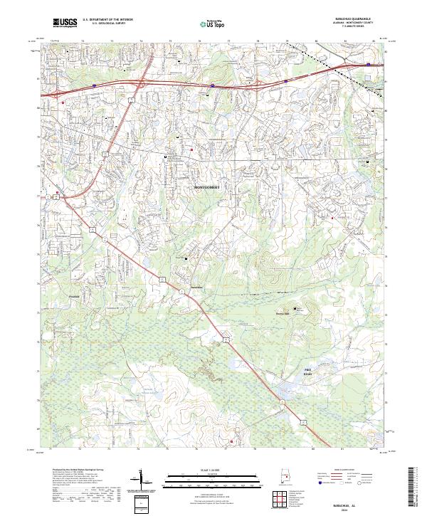 2024 Barachias2024 Print · USGSSoutheast of Montgomery, this modern survey shows the suburban-to-rural transition near Pike Road and Barachias. Genealogists can trace family heritage through numerous markers including the McLemore Taylor Burial Ground and Perrys Mill Cem.
End of results
Showing maps 1-16 of 16
Top cities near Montgomery
- Prattville historical maps
- Millbrook historical maps
- Pike Road historical maps
- Wetumpka historical maps
- Emerald Mountain historical maps
- Deatsville historical maps
See more
Top neighborhoods of Montgomery
- College Grove historical maps
- Perrys Mill historical maps
- Bellehurst historical maps
- Timbers historical maps
- Brewer Estates historical maps
- Bellwood Plantation historical maps
See more
Frequently asked questions
- What are the different types of historical maps available for Montgomery?
- What is the oldest map of Montgomery?
- Where can I purchase historical maps of Montgomery for my home or office?
- Where can I download high-res historical maps of Montgomery?
- Are there historical topographic maps available for Montgomery?
- Is there historical aerial imagery available for Montgomery?
- Where are historical maps of Montgomery sourced from?