Old Maps of Montgomery, Alabama for Hiking & Exploration
Hike through history with 64 historic maps of Montgomery. Explore old trails, ghost towns, and forgotten backroads — perfect for outdoor adventurers and local explorers.
- Rediscover forgotten places: Map out old mining camps, roads, and footpaths that no longer exist on modern maps.
- Layer with modern tools: Combine with LiDAR or satellite views to plan hikes through historical terrain.
- Made for exploration: Popular among hikers, overlanders, and local history lovers.
Use these maps to find adventure and explore the hidden past of Montgomery.
Montgomery, AL maps
(64)- 1927 Map of Montgomery
 1927 Montgomery1927 Print · USGSThe Alabama state capital and its river-bend surroundings are seen here in the late twenties during a period of growth. Researchers can trace the footprints of Maxwell Aviation Field, the Masonic Home, and rural sites like Stones Cem.
 - 1930 Map of Montgomery
 1930 Montgomery1930 Print · USGSThe Alabama state capital is seen here as a bustling rail and river crossroads in the late twenties. Trace the historic growth of the city and its surrounding rural communities through sites like Maxwell Aviation Field, Kilby Prison, and Oakwood Cemetery.4 unique versions available
 - 1953 Map of Montgomery, 1964 Print
 1953 Montgomery1964 Print · USGSCentral Alabama's river-and-rail corridor is mapped here in the mid-fifties, showing the vital connections between the capital and the Black Belt. Genealogists and historians can trace rail depots and crossroads from Marion Junction to Wetumpka, alongside landmarks like Craig AFB.4 unique versions available
 - 1956 Map of Montgomery
 1956 Montgomery1956 Print · USGSCentral Alabama in the mid-1950s shows a landscape defined by its great river systems and a booming military aviation presence. Genealogists and historians can trace the rail corridors of the Southern Railway and locate tactical bases like Maxwell AFB and Craig AFB.
 - 1957 Map of Montgomery
 1957 Montgomery1957 Print · USGSCentral Alabama in the mid-fifties is defined by the winding Alabama River and a strategic network of military bases and rail lines. Trace family roots in Montgomery and Selma, or locate landmarks like Craig AFB and the State Capitol before the interstate era.
 - 1958 Map of Montgomery, 1959 Print
 1958 Montgomery1959 Print · USGSThe state capital and its surrounding river bends are captured here during the late fifties, a period of significant military and urban growth. Researchers can trace historic institutions like Alabama State College and the extensive grounds of Maxwell Air Force Base.2 unique versions available
 - 1958 Map of Montgomery North, 1959 Print
 1958 Montgomery North1959 Print · USGSMontgomery and its northern river bends are captured here in the late fifties, showcasing a period of significant urban and military expansion. Genealogists can trace family landmarks and neighborhoods from Oakwood Cemetery to Millbrook, including rural sites like Coles Chapel and Goodship Ch.4 unique versions available
 - 1958 Map of Montgomery South, 1959 Print
 1958 Montgomery South1959 Print · USGSMontgomery's southern expansion is visible in the mid-fifties as urban neighborhoods give way to the wetlands of the Catoma Creek basin. Genealogists and historians can trace the footprint of several local landmarks, from Greenwood Cemetery and Lincoln Cem to Lanier High Sch and the Masonic Home.5 unique versions available
 - 1958 Map of Mount Meigs, 1959 Print
 1958 Mount Meigs1959 Print · USGSMontgomery County was a hive of rail and river activity in the late fifties as the state capital expanded eastward. Researchers can trace family-named sites and rural institutions like Pike Road, Our Lady of Fatima Sch, and the riverside Indian Mounds.2 unique versions available
 - 1975 Map of Mount Meigs SE, 1977 Print
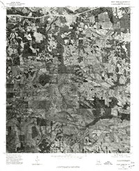 1975 Mount Meigs SE1977 Print · USGSThe rural landscape east of Montgomery is captured in high detail in the mid-1970s, showcasing the agricultural patterns of central Alabama. Researchers can trace the exact footprints of settlements like Mount Meigs, Pike Road, and Waugh across the varied terrain.
 - 1975 Map of Mount Meigs NW, 1977 Print
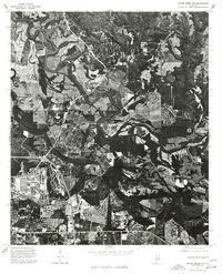 1975 Mount Meigs NW1977 Print · USGSEast of the state capital in the mid-1970s, this aerial study captures the winding bends of the Tallapoosa River. Local historians can trace the footprint of early development in Montgomery and the rural layout of Madison.
 - 1975 Map of Mount Meigs SW, 1977 Print
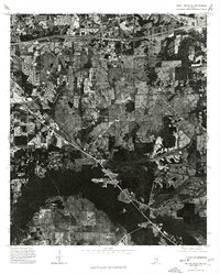 1975 Mount Meigs SW1977 Print · USGSThe rural landscape east of Montgomery appears in this mid-1970s aerial survey just as highway development began to reshape the region. Researchers can trace land use patterns and property lines near the Interstate 85 corridor and surrounding agricultural tracts.
 - 1975 Map of Montgomery NW, 1977 Print
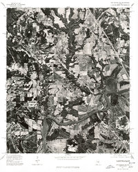 1975 Montgomery NW1977 Print · USGSThe Alabama River corridor north of Montgomery shows a landscape of deep meanders and developing neighborhoods in the mid-seventies. Local historians can trace the intersection of rural land and new infrastructure along the banks of the Alabama River.
 - 1975 Map of Montgomery South, 1977 Print
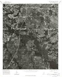 1975 Montgomery South1977 Print · USGSThe southern expansion of the Alabama capital is captured here during the mid-seventies, showing the urban edge meeting the countryside. Researchers can trace the development of Lynndale or locate early rural holdings near Hope Hull and the banks of Catoma Creek.
 - 1975 Map of Montgomery SW, 1977 Print
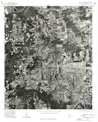 1975 Montgomery SW1977 Print · USGSSouthwest of the state capital in the mid-seventies, this aerial view captures the rural-urban fringe as it transitioned from traditional farmland to modern infrastructure. Researchers can trace the winding course of the Alabama River and examine the intricate field patterns and roadways that defined the region at the time.
 - 1975 Map of Montgomery North, 1977 Print
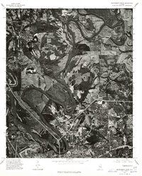 1975 Montgomery North1977 Print · USGSThe northern reaches of Montgomery and the winding Alabama River are shown in detail during the mid-1970s. Trace the development of local settlements like Boylston and Brook alongside the dramatic river meanders and growing road networks.
 - 1975 Map of Mount Meigs NE, 1977 Print
 1975 Mount Meigs NE1977 Print · USGSThe rural riverbanks of Montgomery County are captured in detailed aerial imagery during the mid-seventies. Local historians can trace the exact footprint of farmsteads and land clearings near the community of Ware and along the winding oxbows of the Tallapoosa River.
 - 1981 Map of Prattville
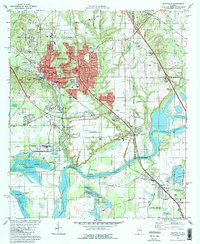 1981 Prattville1981 Print · USGSPrattville at the start of the eighties shows a city balancing its industrial heritage with modern expansion near the Alabama River. Genealogists and historians can locate family burial sites like Doster Cem and trace the old Washington Ferry Road toward the water.2 unique versions available
 - 1981 Map of Cantelous, 1982 Print
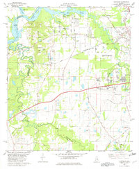 1981 Cantelous1982 Print · USGSSouthwest of Montgomery in the early eighties, this area showcases a landscape defined by military aviation and rural junctions. Genealogists and historians can trace the foundations of Dannelly Field and local settlements like Antioch and Mt Sinai.2 unique versions available
 - 1986 Map of Montgomery
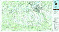 1986 Montgomery1986 Print · USGSCentral Alabama's river-and-rail corridor is captured in the mid-1980s, centered on the state capital and its surrounding rural counties. Researchers can trace ancestral landmarks like Oakwood Cemetery, military sites like Maxwell Air Force Base, and small towns such as Lowndesboro.2 unique versions available
 - 1987 Map of Barachias
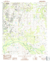 1987 Barachias1987 Print · USGSSoutheast of Montgomery in the late 1980s, the rural-urban fringe shows a landscape of expanding schools and deep-rooted family landmarks. Genealogists and historians can trace numerous sites like Perrys Mill, the Jackson Prospect Cem, and Macedonia Ch.2 unique versions available
 - 1987 Map of Mount Meigs
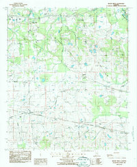 1987 Mount Meigs1987 Print · USGSEastern Montgomery County is captured in the late eighties as its rural crossroads began to evolve. Genealogists can trace family landmarks like Antioch Cem and Birch Hill Cem alongside the tracks of the SOUTHERN and CSX railroads.
 - 1987 Map of Brassell
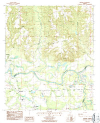 1987 Brassell1987 Print · USGSAlabama's river-bottom lands near the meeting of three counties were captured in detail during the late 1980s. Researchers can trace family sites like Dawson Bradford Cem and Cathmagby Ch or locate the Mount Meigs (Sta) along the CSX rail line.
 - 1987 Map of Willow Springs
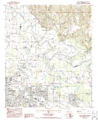 1987 Willow Springs1987 Print · USGSGreater Montgomery and the Elmore County line come alive in this late 1980s survey of the riverbend country. Genealogists and local historians can trace family markers at Young Cem and Peck Cem or locate the sprawling Gunter AF Station.2 unique versions available
 - 2011 Map of Montgomery North, 2011 Print
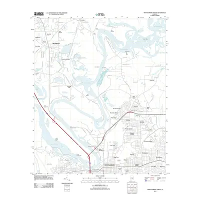 2011 Montgomery North2011 Print · USGSThe Alabama River corridor and the northern reaches of Montgomery come into focus in the early 2010s. Researchers can trace local landmarks like Oakwood Cemetery, the Montgomery Zoo, and the sprawling river geography of Gun Island Chute and Big Bend.
Showing maps 1-25 of 64
Top cities near Montgomery
- Prattville historical maps
- Millbrook historical maps
- Pike Road historical maps
- Wetumpka historical maps
- Emerald Mountain historical maps
- Deatsville historical maps
See more
Top neighborhoods of Montgomery
- College Grove historical maps
- Perrys Mill historical maps
- Bellehurst historical maps
- Timbers historical maps
- Brewer Estates historical maps
- Bellwood Plantation historical maps
See more
Frequently asked questions
- What are the different types of historical maps available for Montgomery?
- What is the oldest map of Montgomery?
- Where can I purchase historical maps of Montgomery for my home or office?
- Where can I download high-res historical maps of Montgomery?
- Are there historical topographic maps available for Montgomery?
- Is there historical aerial imagery available for Montgomery?
- Where are historical maps of Montgomery sourced from?