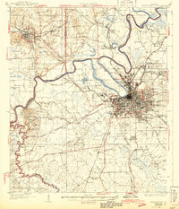
1927 Map of Montgomery
USGS Topo · Published 1927About this map
Montgomery stands as a rail-heavy hub at the junction of the Alabama River and Tallapoosa River, shown here at a moment of significant institutional growth. The city is bordered by distinct neighborhoods like Cloverdale and Capitol Heights, while the outskirts are marked by early aviation history at Maxwell Aviation Field. Educational and social landmarks appear prominently, including the Womens College of Alabama and the Masonic Home, reflecting the city's civic development during the late 1920s.
Find a feature on this map
105 named features on this map. Tap any name to fly to it.
Don’t see what you’re looking for? This feature index may not catch every label — zoom into the map to look around manually.
Map Details
Editions of this 1927 Montgomery Map
This is the sole edition of this map. No revisions or reprints were ever made.
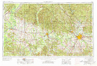
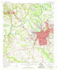
Historical Maps of Montgomery Through Time
7 maps found