Old Maps of Marion, Alabama for Academic Research
Study the evolution of Marion with 18 high-resolution historic maps. Whether you're teaching, researching, or modeling changes in land use, these maps provide essential visual documentation of urban, environmental, and geographic change.
- Analyze long-term change: Track patterns in development, transportation, and natural features.
- Ideal for environmental or urban studies: Support academic projects with primary historical map data.
- Use in the classroom or lab: Educators and researchers rely on these maps to bring historical context to life.
These maps are a powerful tool for teaching, research, and visualizing how Marion has changed over the decades.
Marion, AL maps
(18)- 1953 Map of Montgomery, 1964 Print
 1953 Montgomery1964 Print · USGSCentral Alabama's river-and-rail corridor is mapped here in the mid-fifties, showing the vital connections between the capital and the Black Belt. Genealogists and historians can trace rail depots and crossroads from Marion Junction to Wetumpka, alongside landmarks like Craig AFB.4 unique versions available
 - 1956 Map of Montgomery
 1956 Montgomery1956 Print · USGSCentral Alabama in the mid-1950s shows a landscape defined by its great river systems and a booming military aviation presence. Genealogists and historians can trace the rail corridors of the Southern Railway and locate tactical bases like Maxwell AFB and Craig AFB.
 - 1957 Map of Montgomery
 1957 Montgomery1957 Print · USGSCentral Alabama in the mid-fifties is defined by the winding Alabama River and a strategic network of military bases and rail lines. Trace family roots in Montgomery and Selma, or locate landmarks like Craig AFB and the State Capitol before the interstate era.
 - 1979 Map of Marion North, 1980 Print
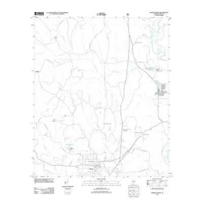
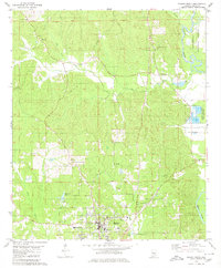 1979 Marion North1980 Print · USGSNorthern Alabama at the end of the 1970s reveals a landscape where the civic life of Marion meets the dense woodlands of the Talladega National Forest. Researchers can trace local genealogy through numerous rural landmarks like Judson College, Mt Nebo Ch, and the Campbellite Cem.2 unique versions available
 - 1979 Map of Marion South, 1980 Print
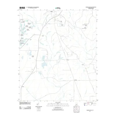
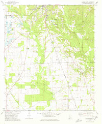 1979 Marion South1980 Print · USGSPerry County in the late seventies is centered on the historic academic grounds of Marion. Genealogists can trace rural family landmarks like Eagle Grove Cem, Healing Springs Ch, and the southern rail whistle-stop at Hamburg.
 - 1986 Map of Demopolis
 1986 Demopolis1986 Print · USGSWest-central Alabama's river-and-rail corridors are preserved here in the mid-eighties, showing the deep-seated settlement patterns of the Black Belt. Genealogists and historians can locate family-named landmarks like Crenshaw Quarters or industrial sites including Cleveland Mills and the Warrior Lock and Dam.
 - 1990 Map of Demopolis
 1990 Demopolis1990 Print · USGSWest-central Alabama's river corridors and educational centers are mapped here in the late twentieth century. Genealogists and local historians can trace old family sites near Oak Grove Ch, the historic Marion Military Institute, or the landings at Finchal Ferry.
 - 2002 Map of Marion North, 2004 Print
 2002 Marion North2004 Print · USGSPerry County at the start of the twenty-first century reveals a landscape shaped by education and public lands. Researchers can trace the grounds of Judson College or locate rural landmarks like Mt Nebo Cem and the Cahaba River.
 - 2011 Map of Marion North, 2011 Print
 2011 Marion North2011 Print · USGSCovers Marion, including Curbville, Perry County, and other nearby areas
 - 2011 Map of Marion South, 2011 Print
 2011 Marion South2011 Print · USGSCovers Marion, including Vaiden, Norman, and other nearby areas
 - 2014 Map of Marion North, 2014 Print
 2014 Marion North2014 Print · USGSCovers Marion, including Curbville, Perry County, and other nearby areas
 - 2014 Map of Marion South, 2014 Print
 2014 Marion South2014 Print · USGSCovers Marion, including Vaiden, Norman, and other nearby areas
 - 2018 Map of Marion North, 2018 Print
 2018 Marion North2018 Print · USGSCovers Marion, including Curbville, Perry County, and other nearby areas
 - 2018 Map of Marion South, 2018 Print
 2018 Marion South2018 Print · USGSCovers Marion, including Vaiden, Norman, and other nearby areas
 - 2020 Map of Marion South, 2020 Print
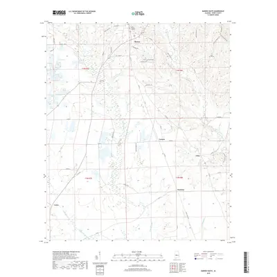
 2020 Marion South2020 Print · USGSCovers Marion, including Vaiden, Norman, and other nearby areas
 - 2021 Map of Marion North, 2021 Print
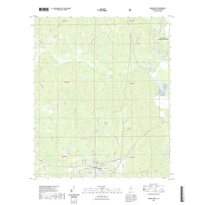 2021 Marion North2021 Print · USGSCovers Marion, including Curbville, Perry County, and other nearby areas
 - 2024 Map of Marion North, 2024 Print
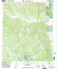
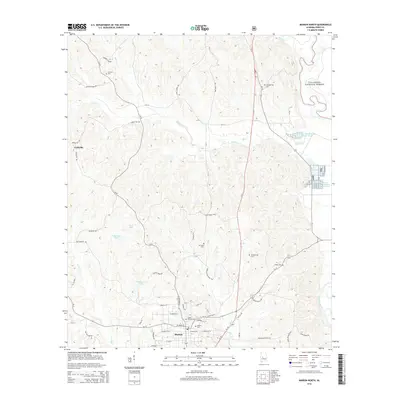
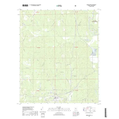
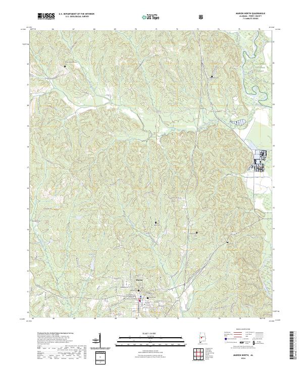 2024 Marion North2024 Print · USGSAs Perry County's seat of education and law, this area shows the historic core of Marion alongside the Talladega National Forest. Researchers can locate Judson College, the Perry County Courthouse, and family burial sites like Campbellite Cem.
 - 2024 Map of Marion South, 2024 Print
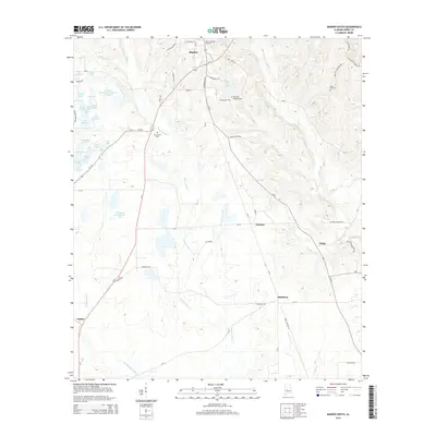
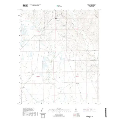
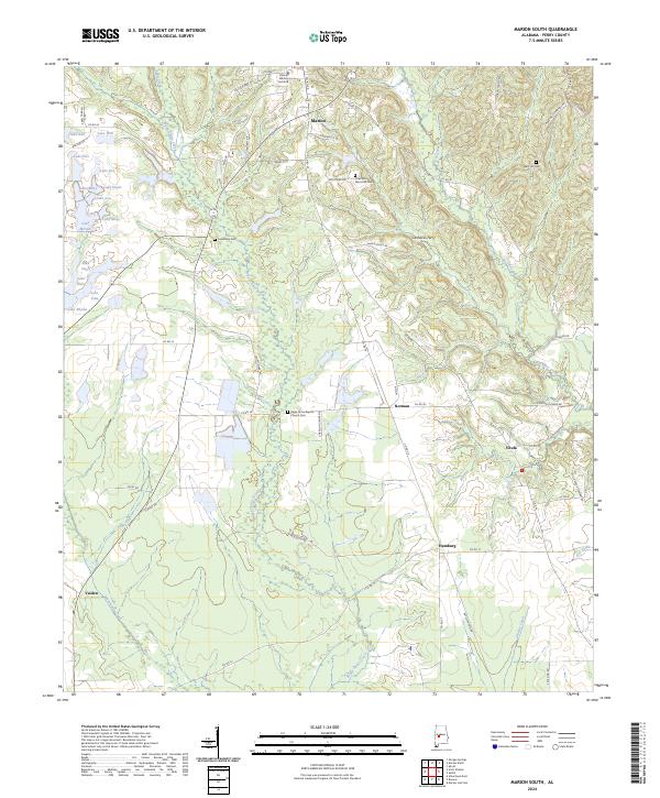 2024 Marion South2024 Print · USGSPerry County's rural heartland is documented here in the early twenty-first century, showing the enduring landscape surrounding the Marion Military Institute. Local historians can trace family roots at Eagle Grove Baptist Church Cem or locate the site of Carmacks Ferry along the creek.
End of results
Showing maps 1-18 of 18
Top cities near Marion
Frequently asked questions
- What are the different types of historical maps available for Marion?
- What is the oldest map of Marion?
- Where can I purchase historical maps of Marion for my home or office?
- Where can I download high-res historical maps of Marion?
- Are there historical topographic maps available for Marion?
- Is there historical aerial imagery available for Marion?
- Where are historical maps of Marion sourced from?