Old Maps of Goshen, Alabama for Hiking & Exploration
Hike through history with 15 historic maps of Goshen. Explore old trails, ghost towns, and forgotten backroads — perfect for outdoor adventurers and local explorers.
- Rediscover forgotten places: Map out old mining camps, roads, and footpaths that no longer exist on modern maps.
- Layer with modern tools: Combine with LiDAR or satellite views to plan hikes through historical terrain.
- Made for exploration: Popular among hikers, overlanders, and local history lovers.
Use these maps to find adventure and explore the hidden past of Goshen.
Goshen, AL maps
(15)- 1953 Map of Andalusia, 1965 Print
 1953 Andalusia1965 Print · USGSSouth Alabama in the mid-twentieth century remains a land of pine forests and river-fed settlements. You can trace the vital rail corridors of the Louisville & Nashville and locate regional centers such as Andalusia, Brewton, and Monroeville.3 unique versions available
 - 1957 Map of Andalusia
 1957 Andalusia1957 Print · USGSSouthern Alabama in the mid-1950s was a landscape defined by timbered stretches and the rhythmic flow of the Alabama River. Researchers can trace the legacy of the rail era through the Central of Georgia tracks and the storied river bluffs at Choctaw Bluff.
 - 1968 Map of Goshen, 1970 Print
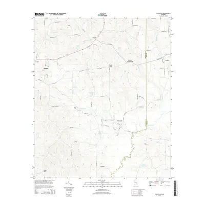
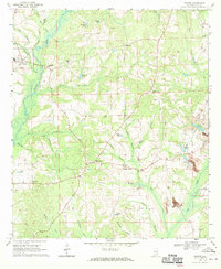 1968 Goshen1970 Print · USGSGoshen and the Conecuh River valley are shown here in the late sixties as the local economy balanced traditional farming with emerging extractive industries. Genealogists can trace family names at Hillcrest Cem, Mt Hilliard Ch, and the crossroads at Little Oak.2 unique versions available
 - 1968 Map of Glenwood, 1970 Print
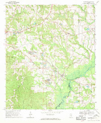 1968 Glenwood1970 Print · USGSCrenshaw and Pike counties appear here in the late sixties as a landscape of river-bottom farms and emerging strip mines. Genealogists can trace family names at Emmaus Cem and Shirleys Crossroads or follow the Georgia Central Railroad through Glenwood.2 unique versions available
 - 1986 Map of Greenville
 1986 Greenville1986 Print · USGSMid-century South Central Alabama comes alive in this survey of the creek-laced timberlands and rail-dependent towns between the Gulf Coastal Plain and the Piedmont. Researchers can trace family roots through numerous country landmarks like Magnolia Cem, Spring Hill Ch, and the Butler County State Wildlife Management Area.2 unique versions available
 - 2011 Map of Goshen, 2011 Print
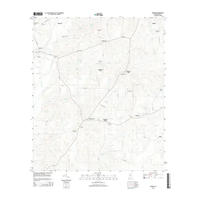
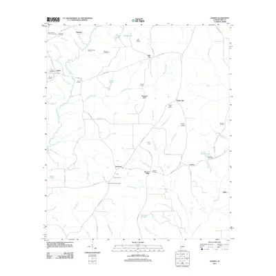 2011 Goshen2011 Print · USGSCovers Goshen, including Troy, Little Oak, and other nearby areas
 - 2011 Map of Glenwood, 2011 Print
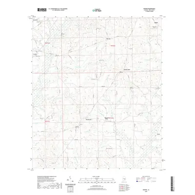
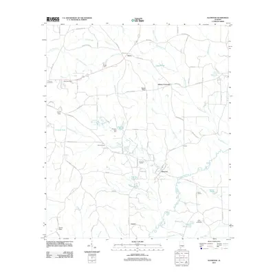 2011 Glenwood2011 Print · USGSCovers Goshen, including Luverne, Glenwood, and other nearby areas
 - 2014 Map of Goshen, 2014 Print
 2014 Goshen2014 Print · USGSCovers Goshen, including Troy, Little Oak, and other nearby areas
 - 2014 Map of Glenwood, 2014 Print
 2014 Glenwood2014 Print · USGSCovers Goshen, including Luverne, Glenwood, and other nearby areas
 - 2018 Map of Glenwood, 2018 Print
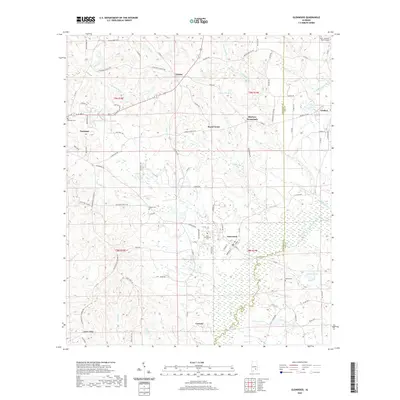
 2018 Glenwood2018 Print · USGSCovers Goshen, including Luverne, Glenwood, and other nearby areas
 - 2018 Map of Goshen, 2018 Print
 2018 Goshen2018 Print · USGSCovers Goshen, including Troy, Little Oak, and other nearby areas
 - 2020 Map of Goshen, 2020 Print
 2020 Goshen2020 Print · USGSCovers Goshen, including Troy, Little Oak, and other nearby areas
 - 2020 Map of Glenwood, 2020 Print
 2020 Glenwood2020 Print · USGSCovers Goshen, including Luverne, Glenwood, and other nearby areas
 - 2024 Map of Goshen, 2024 Print
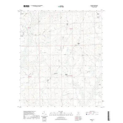
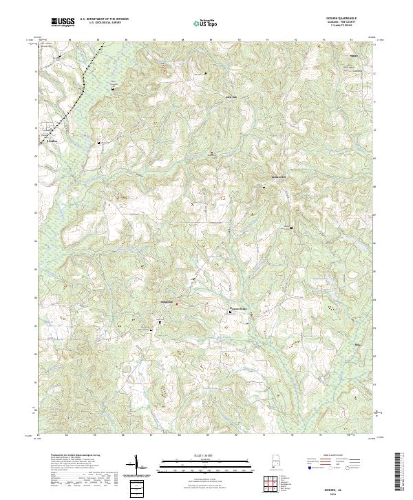 2024 Goshen2024 Print · USGSPike County settlements and rural cemeteries are mapped here as they appeared in 2024. Genealogists can trace family heritage through sites like the Old Salem Cem, Smilie Cem, and the community of Henderson.
 - 2024 Map of Glenwood, 2024 Print
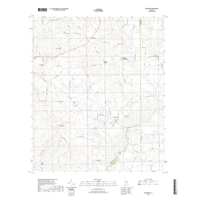
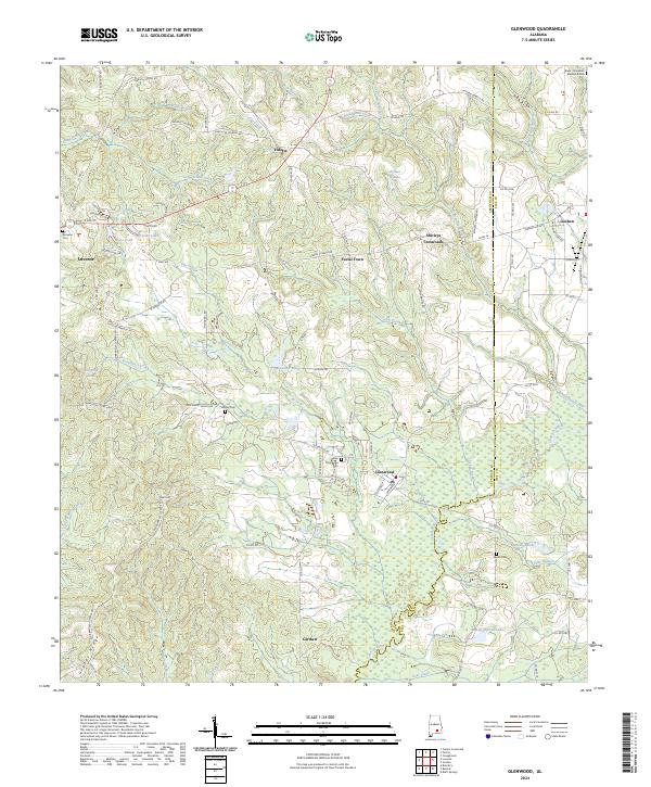 2024 Glenwood2024 Print · USGSCrenshaw and Pike counties are captured here in a detailed survey of their rural townships and creek-side settlements. Local history researchers can trace family names and landmarks at Shirleys Crossroads, Emmaus Cem, and Social Town.
End of results
Showing maps 1-15 of 15
Top cities near Goshen
- Troy historical maps
- Luverne historical maps
- Brantley historical maps
- Rutledge historical maps
- Glenwood historical maps
- Petrey historical maps
Frequently asked questions
- What are the different types of historical maps available for Goshen?
- What is the oldest map of Goshen?
- Where can I purchase historical maps of Goshen for my home or office?
- Where can I download high-res historical maps of Goshen?
- Are there historical topographic maps available for Goshen?
- Is there historical aerial imagery available for Goshen?
- Where are historical maps of Goshen sourced from?