2020s Maps of Randolph County, Alabama
Explore 39 historic maps of Randolph County from the 2020s. These maps offer a rare glimpse into what life looked like during the 2020s — showing old roads, neighborhoods, homes, and landmarks that have changed or disappeared over time.
Whether you're researching your family's past, planning a metal detecting trip, or studying how Randolph County's landscape evolved across the 2020s, these high-resolution maps are a powerful tool for exploring the history of this region.
- Focus on a specific era: All maps on this page are from the 2020s, giving you a focused view of this time period.
- See what’s changed: Compare century-old streets, trails, and buildings to today's modern landscape using overlays and satellite layers.
- Research with precision: Use these maps for genealogy, historical research, land use analysis, or educational projects.
- View, download, or print: Maps are fully viewable online in high resolution, and can be downloaded or printed for your own records.
Start exploring Randolph County's history through authentic maps from the 2020s. This is your window into the past.
Randolph County, AL maps
(39)- 2020 Map of Glenn, 2020 Print
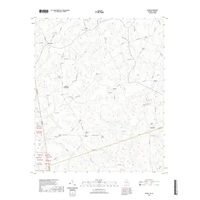 2020 Glenn2020 Print · USGSThe Georgia-Alabama borderlands at the start of the 2020s remain a landscape of quiet rural settlements and deeply rooted family sites. Researchers can locate numerous historic burial grounds like Union Grove Cem and Zachary Cem or trace the winding course of Whitewater Cr.
 - 2020 Map of Abbottsford, 2020 Print
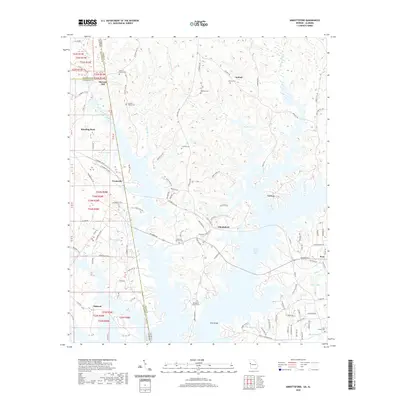 2020 Abbottsford2020 Print · USGSThe Georgia-Alabama state line and the expansive West Point Lake define this rural landscape. Genealogists and local historians can trace family roots at Garrett Family Cem, Whatley Cem, or the historical McCosh Mill site.
 - 2020 Map of Bowdon West, 2020 Print
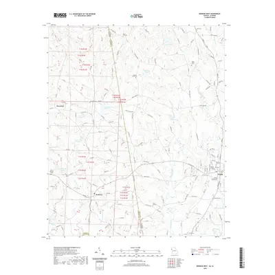 2020 Bowdon West2020 Print · USGSThe Georgia and Alabama state line bisects this quiet borderland during the late twenty-teens, connecting the communities of Bowdon and Ranburne. Genealogists can trace local legacies through numerous sites like Poplar Springs Cem, Macedonia Cem, and Corinth Cem.
 - 2020 Map of Graham, 2020 Print
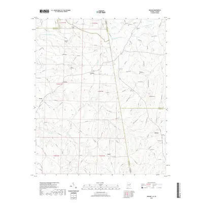 2020 Graham2020 Print · USGSThe Alabama-Georgia borderlands near Graham and Ephesus are captured here in a moment of quiet continuity. Genealogists can trace family footprints across dozens of sites like Old Shiloh Church Cem, Sardis Cem, and Muckfau Bridge.
 - 2020 Map of Mellow Valley, 2020 Print
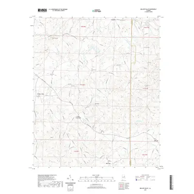 2020 Mellow Valley2020 Print · USGSThe rural uplands of Clay and Randolph counties come into focus in this contemporary survey of Alabama's rolling hills. Researchers can trace family sites and local history through several burial grounds and small hubs like Cooley Crossroads, Mount Gilead Cem, and Mellow Valley.
 - 2020 Map of Roanoke East, 2020 Print
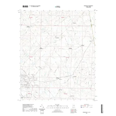 2020 Roanoke East2020 Print · USGSThe Alabama-Georgia borderlands near Roanoke are captured here in the early twenty-first century, showing a landscape defined by traditional crossroads and creek valleys. Genealogists can locate family landmarks like Old Salem Primitive Baptist Church Cem and the small settlements of Rock Mills and Bacon Level.
 - 2020 Map of Wadley North, 2020 Print
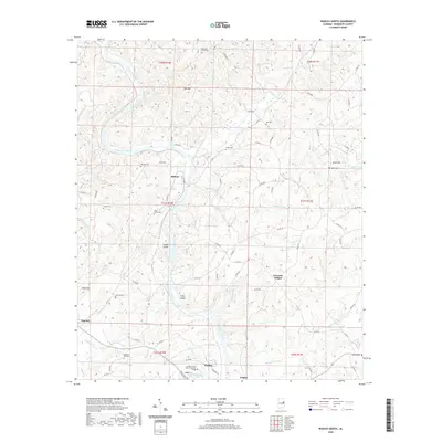 2020 Wadley North2020 Print · USGSRandolph County's river-carved landscape is documented here in the early twenty-first century, centered on the Tallapoosa River and the town of Wadley. Researchers can locate several rural landmarks including Forester Chapel, Knight Cem, and Southern Union State Community College.
 - 2020 Map of Ofelia, 2020 Print
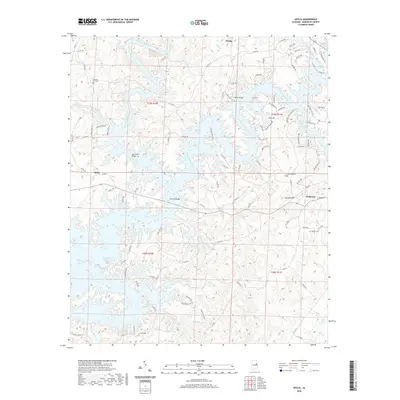 2020 Ofelia2020 Print · USGSRandolph County's modern shoreline is defined by the expansive R L Harris Reservoir and its junction with the Tallapoosa River. Researchers can trace the area's geography through local landmarks like Cockrell Mtn and the family-named Boozer Cem.
 - 2020 Map of Micaville, 2020 Print
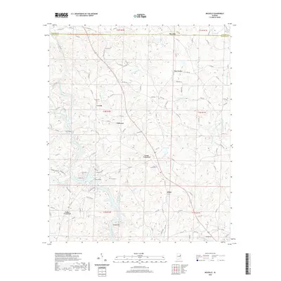 2020 Micaville2020 Print · USGSRandolph and Cleburne counties at the start of the 2020s remain defined by the winding Tallapoosa River and small upland settlements. Researchers can trace family roots at Corinth Cem or locate the historic crossings of Foster Crossroad and Lee Bridge.
 - 2020 Map of Lineville East, 2020 Print
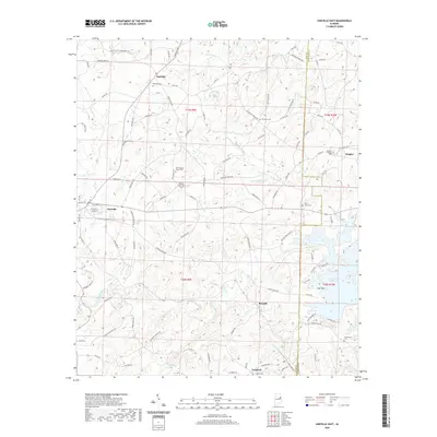 2020 Lineville East2020 Print · USGSCrossing the Clay and Randolph county line in the early twenty-first century, this survey documents the rural communities and cemeteries of eastern Alabama. Genealogists can locate family landmarks like Barfield Cem, Shiloh Cem, and the quiet settlements of Berwick and Dingler.
 - 2020 Map of Wadley South, 2020 Print
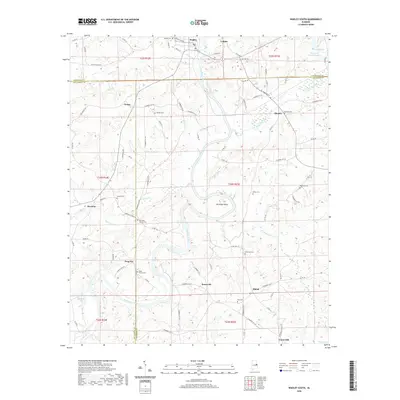 2020 Wadley South2020 Print · USGSEast Alabama's river-carved landscape comes into focus here, showing the rural communities of Randolph, Chambers, and Tallapoosa counties. Genealogists can trace family roots through numerous sites like Bibby Family Cem, Frog Eye, and Abanda.
 - 2020 Map of Roanoke West, 2020 Print
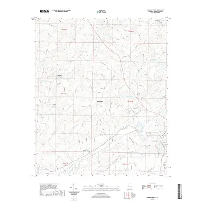 2020 Roanoke West2020 Print · USGSRandolph County's rural crossroads and the western edges of Roanoke are mapped here as they appeared in the early 2020s. Genealogists and local historians can trace family locations near Friendship Cem, Harmon Crossroads, and the settlement of Broughton.
 - 2020 Map of Wedowee, 2020 Print
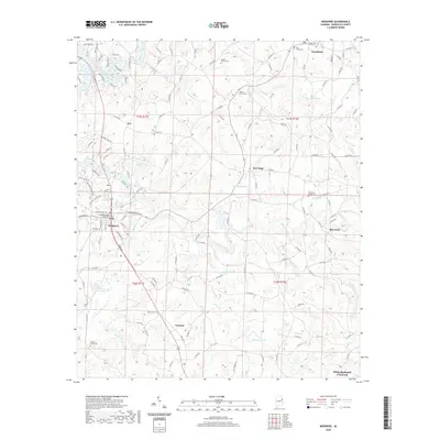 2020 Wedowee2020 Print · USGSRandolph County, Alabama, is captured here in the early twenty-first century as a landscape of small rural settlements and intricate waterways. Researchers can locate family landmarks like the Traylor Family Cem or trace the development of crossroads like Tennant and White Signboard Crossroad.
 - 2020 Map of Daviston, 2020 Print
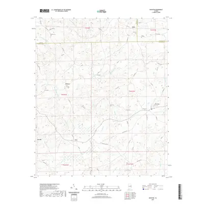 2020 Daviston2020 Print · USGSTallapoosa and Clay counties come together in this rural Alabama landscape during the early twenty-first century. Genealogists can trace family lines through numerous burial sites including Bethany Cem, Old Vickers Cem, and the County Line Cem.
 - 2020 Map of Milltown, 2020 Print
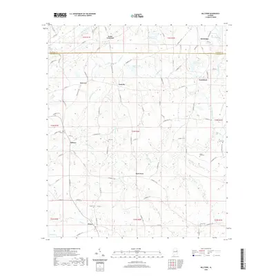 2020 Milltown2020 Print · USGSChambers and Randolph Counties are shown here at the start of the 2020s, featuring a landscape of rural crossroads and family settlements. Genealogists can locate numerous burial sites like Higgins Family Cem and Milltown Cem near the banks of Chikasanoxee Cr.
 - 2020 Map of Newell, 2020 Print
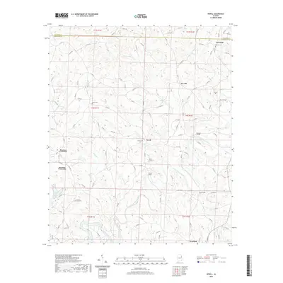 2020 Newell2020 Print · USGSRandolph County in the early twenty-first century reveals a landscape of upland creeks and small agricultural settlements. Trace family roots and local crossings at Old Cool Spring Cem, Shelton Bridge, and the community of Newell.
 - 2020 Map of Napoleon, 2020 Print
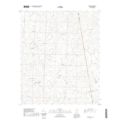 2020 Napoleon2020 Print · USGSRandolph County, Alabama, and Heard County, Georgia, meet along this rural borderland during the early twenty-first century. Researchers can trace family history through several sites like Big Springs Cemetery, Highway Cemetery, and the settlement of Napoleon.
 - 2020 Map of Five Points, 2020 Print
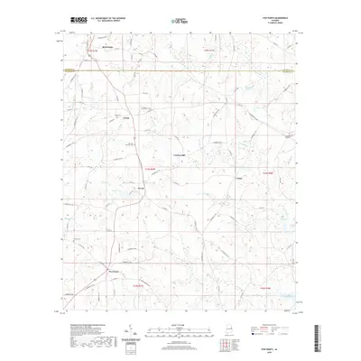 2020 Five Points2020 Print · USGSThe rural borderlands of Randolph and Chambers counties are documented here in the modern era, centering on the crossroads of Five Points and Stroud. Researchers can trace local heritage through sites like Cumbee Mill, Sky View Memorial Cem, and the community at Welch.
 - 2021 Map of Delta, 2021 Print
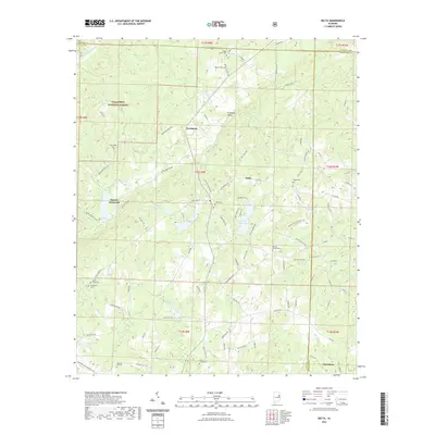 2021 Delta2021 Print · USGSThe rural uplands of Clay County appear here in detail, showing a landscape defined by creeks and timbered ridges. Researchers can trace family history through numerous rural cemeteries like Shiloh Cem and old crossroads such as Needmore or Haynes Crossroad.
 - 2024 Map of Graham, 2024 Print
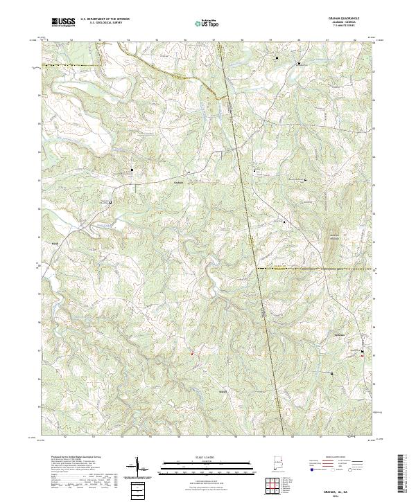 2024 Graham2024 Print · USGSThe Alabama-Georgia state line and the meeting of four counties define this borderland landscape in the 2020s. Researchers can trace rural community centers and family burial sites like Bethena United Methodist Church, Sardis Cem, and Blackjack Mountain.
 - 2024 Map of Wedowee, 2024 Print
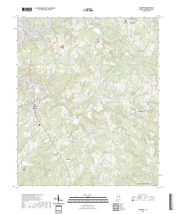 2024 Wedowee2024 Print · USGSRandolph County's rural heartland is meticulously documented here, showing the region's mix of creek valleys and upland settlements. Researchers can trace local heritage through the Traylor Family Cem, McBurnett Ford, and the many churches like Old Rocky Branch Baptist Church Cem.
 - 2024 Map of Milltown, 2024 Print
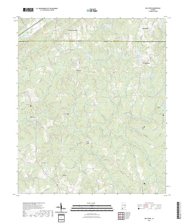 2024 Milltown2024 Print · USGSChambers County maintains its traditional rural layout in this recent survey of the Alabama-Georgia borderlands. Researchers can trace family sites at Milltown Cem and Chappell Cem or explore small historic hubs like Doublehead and Penton.
 - 2024 Map of Roanoke East, 2024 Print
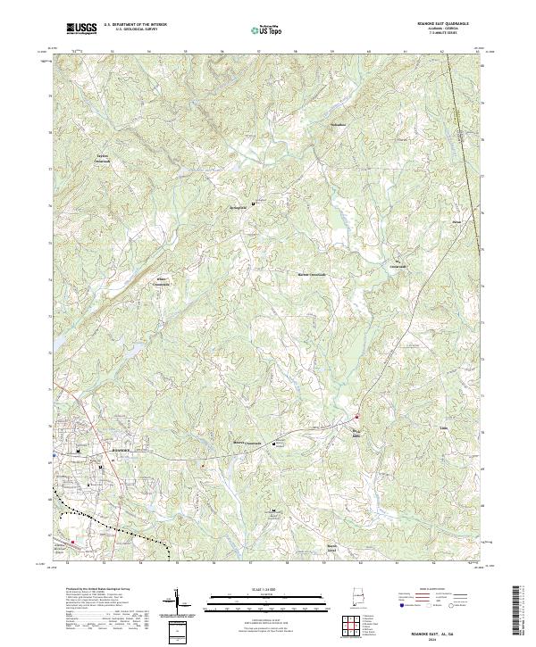 2024 Roanoke East2024 Print · USGSRandolph County, Alabama, is documented here in the modern era, showing the rural communities along the Georgia border. Genealogists can trace family connections through sites like Old Salem Primitive Baptist Church Cem and settlements such as Rock Mills and Bacon Level.
 - 2024 Map of Wadley South, 2024 Print
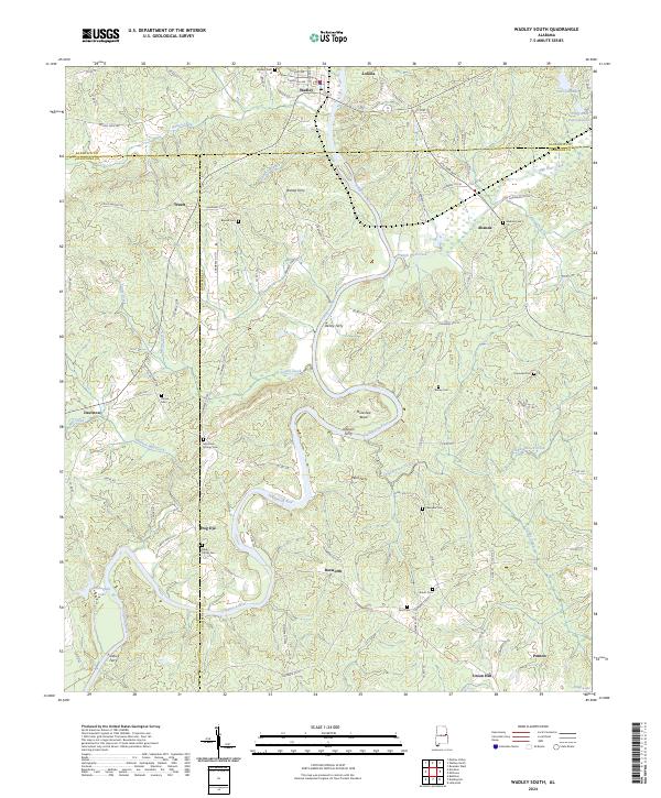 2024 Wadley South2024 Print · USGSEastern Alabama's river-driven geography is preserved here, showing the communities of Wadley and Frog Eye along the Tallapoosa River. Local historians can trace old river crossings at Bishop Ferry and Wait Ferry alongside several family-named cemeteries.
 - 2024 Map of Roanoke West, 2024 Print
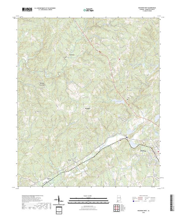 2024 Roanoke West2024 Print · USGSRandolph County's rural landscape is captured here in the contemporary era, centered on the western expansion of Roanoke. Genealogists and local historians can trace family roots through markers at Friendship Cem or the settlements of Broughton and Cornhouse.
Showing maps 1-25 of 39
Top cities of Randolph County
- Roanoke historical maps
- Wedowee historical maps
- Wadley historical maps
- Morrison Crossroads historical maps
- Woodland historical maps
Frequently asked questions
- What are the different types of historical maps available for Randolph County?
- What is the oldest map of Randolph County?
- Where can I purchase historical maps of Randolph County for my home or office?
- Where can I download high-res historical maps of Randolph County?
- Are there historical topographic maps available for Randolph County?
- Is there historical aerial imagery available for Randolph County?
- Where are historical maps of Randolph County sourced from?