Old Maps of Roanoke, Alabama for Hiking & Exploration
Hike through history with 30 historic maps of Roanoke. Explore old trails, ghost towns, and forgotten backroads — perfect for outdoor adventurers and local explorers.
- Rediscover forgotten places: Map out old mining camps, roads, and footpaths that no longer exist on modern maps.
- Layer with modern tools: Combine with LiDAR or satellite views to plan hikes through historical terrain.
- Made for exploration: Popular among hikers, overlanders, and local history lovers.
Use these maps to find adventure and explore the hidden past of Roanoke.
Roanoke, AL maps
(30)- 1899 Map of Wedowee, 1958 Print
 1899 Wedowee1958 Print · USGSEastern Alabama and western Georgia are mapped here at the close of the nineteenth century, documenting the rural river-and-rail landscape. Researchers can trace historic crossings like Philpots Ferry and early industrial sites such as the Copper Mine.
 - 1902 Map of Wedowee
 1902 Wedowee1902 Print · USGSThe Alabama and Georgia state line bisects this turn-of-the-century landscape of river crossings and hill-country settlements. Genealogists can trace early homesteads and commerce at Philpots Ferry, the Copper Mine, or the town of Wedowee.3 unique versions available
 - 1953 Map of Atlanta, 1965 Print
 1953 Atlanta1965 Print · USGSThe growing Atlanta metro and the industrial corridors of Eastern Alabama are captured here during the mid-century transition. Researchers can trace the rail-to-road shift through hubs like Anniston and La Grange or locate sites within Fort McClellan.2 unique versions available
 - 1957 Map of Atlanta
 1957 Atlanta1957 Print · USGSAtlanta and the Alabama borderlands appear here in the mid-fifties, capturing the region's post-war suburban and industrial transition. Trace the development of early transport hubs and military sites like Fort McPherson, Anniston, and the Kennesaw Mountain National Battlefield Park.
 - 1958 Map of Atlanta
 1958 Atlanta1958 Print · USGSMid-century Georgia and Alabama are shown in this regional study of the corridor between the Chattahoochee River and the Appalachian foothills. Local historians can trace the development of suburban Atlanta alongside vital landmarks like Stone Mountain, Dobbins AFB, and the Seaboard Air Line rail routes.
 - 1968 Map of Five Points, 1973 Print
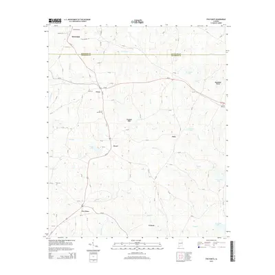
 1968 Five Points1973 Print · USGSChambers County and Randolph County meet in the late sixties as the rail lines of the Central of Georgia and Seaboard Coast Line still define the local landscape. Researchers can locate vanished landmarks and rural crossroads like Standing Rock, Cumbee Mill, and Stroud.2 unique versions available
 - 1969 Map of Roanoke East, 1973 Print
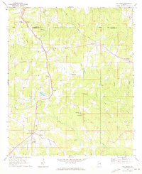
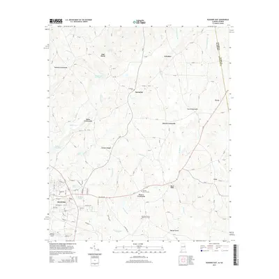
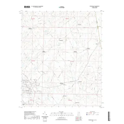
 1969 Roanoke East1973 Print · USGSRandolph County's rural landscape is captured in the late sixties, showing a network of crossroads settlements and active rail lines near the Georgia border. Genealogists and historians can trace family roots through Randolph Memory Gardens, Bacon Level, and the many rural schools like Handley High Sch.2 unique versions available
 - 1969 Map of Milltown, 1973 Print
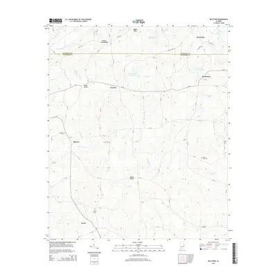
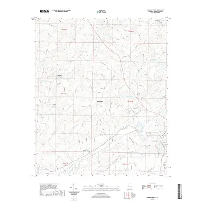
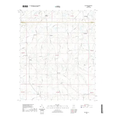
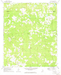 1969 Milltown1973 Print · USGSChambers County in the late sixties remains a landscape of quiet crossroads and rural parishes. Researchers can trace the exact locations of family homesteads near Milltown or explore the many country churches like New Harmony Ch and Antioch Ch.2 unique versions available
 - 1969 Map of Roanoke West, 1973 Print
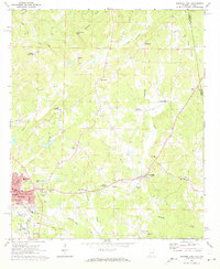
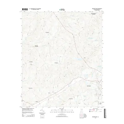
 1969 Roanoke West1973 Print · USGSWest of the Georgia border in the late sixties, this area shows a landscape of rail-connected commerce and scattered rural crossroads. Genealogists can trace family footprints through numerous country churches like Union Hill Ch and named landmarks such as Broughton and Rock Stand.2 unique versions available
 - 1978 Map of La Grange, 1980 Print
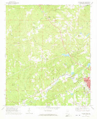
 1978 La Grange1980 Print · USGSThe Alabama-Georgia borderlands are captured here in the late seventies, just as the newly formed West Point Lake reshaped the eastern landscape. Local historians can trace the Seaboard Coast Line rail corridor through hubs like Roanoke, Ashland, and Lineville.
 - 2011 Map of Roanoke East, 2011 Print
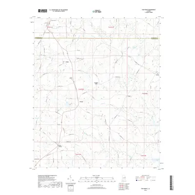
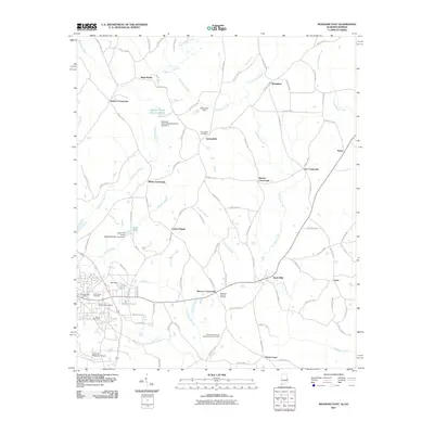 2011 Roanoke East2011 Print · USGSCovers Roanoke, including Moores Crossroads, Center Chapel, and other nearby areas2 unique versions available
 - 2011 Map of Five Points, 2011 Print
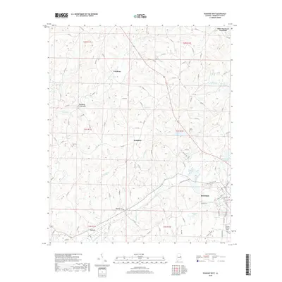
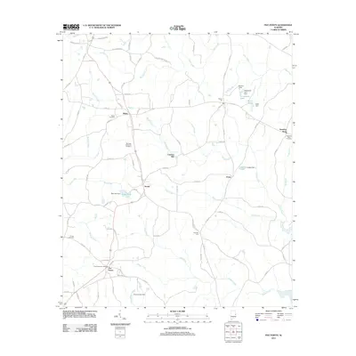 2011 Five Points2011 Print · USGSCovers Roanoke, including Five Points, Cumbee Mill, and other nearby areas
 - 2011 Map of Milltown, 2011 Print
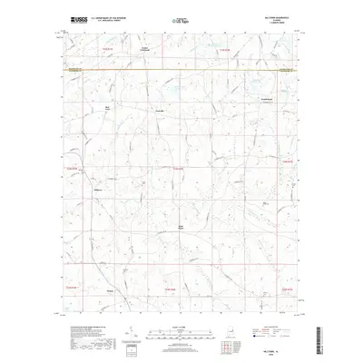
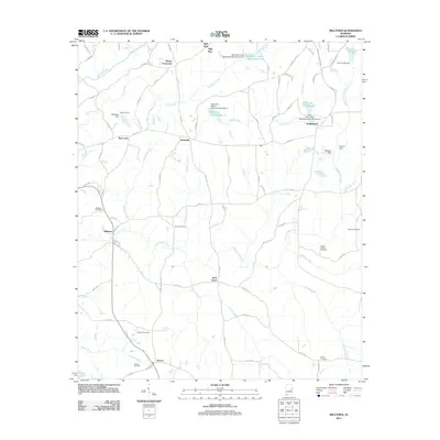 2011 Milltown2011 Print · USGSCovers Roanoke, including Doublehead, Rock Fence, and other nearby areas
 - 2011 Map of Roanoke West, 2011 Print
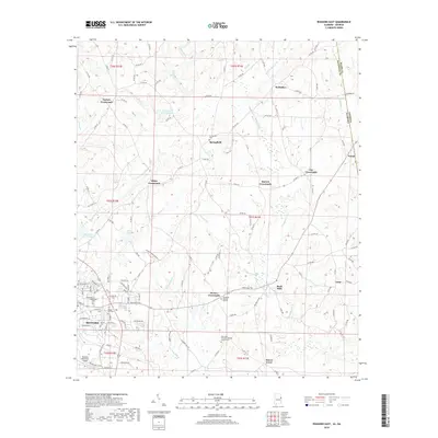
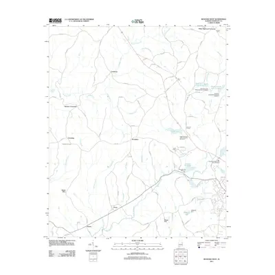 2011 Roanoke West2011 Print · USGSCovers Roanoke, including Harmon Crossroads, Cornhouse, and other nearby areas
 - 2014 Map of Five Points, 2014 Print
 2014 Five Points2014 Print · USGSCovers Roanoke, including Five Points, Cumbee Mill, and other nearby areas
 - 2014 Map of Milltown, 2014 Print
 2014 Milltown2014 Print · USGSCovers Roanoke, including Doublehead, Rock Fence, and other nearby areas
 - 2014 Map of Roanoke East, 2014 Print
 2014 Roanoke East2014 Print · USGSCovers Roanoke, including Moores Crossroads, Center Chapel, and other nearby areas
 - 2014 Map of Roanoke West, 2014 Print
 2014 Roanoke West2014 Print · USGSCovers Roanoke, including Harmon Crossroads, Cornhouse, and other nearby areas
 - 2018 Map of Five Points, 2018 Print
 2018 Five Points2018 Print · USGSCovers Roanoke, including Five Points, Cumbee Mill, and other nearby areas
 - 2018 Map of Milltown, 2018 Print
 2018 Milltown2018 Print · USGSCovers Roanoke, including Doublehead, Rock Fence, and other nearby areas
 - 2018 Map of Roanoke West, 2018 Print
 2018 Roanoke West2018 Print · USGSCovers Roanoke, including Harmon Crossroads, Cornhouse, and other nearby areas
 - 2018 Map of Roanoke East, 2018 Print
 2018 Roanoke East2018 Print · USGSCovers Roanoke, including Moores Crossroads, Center Chapel, and other nearby areas
 - 2020 Map of Roanoke East, 2020 Print
 2020 Roanoke East2020 Print · USGSCovers Roanoke, including Moores Crossroads, Center Chapel, and other nearby areas
 - 2020 Map of Roanoke West, 2020 Print
 2020 Roanoke West2020 Print · USGSCovers Roanoke, including Harmon Crossroads, Cornhouse, and other nearby areas
 - 2020 Map of Milltown, 2020 Print
 2020 Milltown2020 Print · USGSCovers Roanoke, including Doublehead, Rock Fence, and other nearby areas
Showing maps 1-25 of 30
Top cities near Roanoke
- West Point historical maps
- Wedowee historical maps
- Wadley historical maps
- Woodland historical maps
- Five Points historical maps
Frequently asked questions
- What are the different types of historical maps available for Roanoke?
- What is the oldest map of Roanoke?
- Where can I purchase historical maps of Roanoke for my home or office?
- Where can I download high-res historical maps of Roanoke?
- Are there historical topographic maps available for Roanoke?
- Is there historical aerial imagery available for Roanoke?
- Where are historical maps of Roanoke sourced from?