Old Maps of Vincent, Alabama for Academic Research
Study the evolution of Vincent with 34 high-resolution historic maps. Whether you're teaching, researching, or modeling changes in land use, these maps provide essential visual documentation of urban, environmental, and geographic change.
- Analyze long-term change: Track patterns in development, transportation, and natural features.
- Ideal for environmental or urban studies: Support academic projects with primary historical map data.
- Use in the classroom or lab: Educators and researchers rely on these maps to bring historical context to life.
These maps are a powerful tool for teaching, research, and visualizing how Vincent has changed over the decades.
Vincent, AL maps
(34)- 1890 Map of Talladega
 1890 Talladega1890 Print · USGSTalladega and the surrounding river valleys are captured here in the late nineteenth century as the railroad and river economy flourished. Trace the locations of historic river crossings like Old Kymulga Ferry and local landmarks such as Odens Mill.
 - 1892 Map of Talladega
 1892 Talladega1892 Print · USGSTalladega County and the Coosa River valley are captured here in the late nineteenth century as the regional rail network expanded through the mountains. Researchers can locate old river crossings like Chancelors Ferry, rural landmarks such as Edwards Store, and early hubs like Childersburgh.6 unique versions available
 - 1951 Map of Vincent, 1952 Print
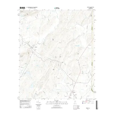
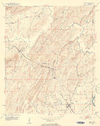 1951 Vincent1952 Print · USGSShelby County at the start of the 1950s remains a landscape of rail-side towns and ridge-country churches. Local historians can trace the paths of the Central of Georgia railroad through Sterrett or locate landmarks like Duncan Chapel and the Elliott Cem.6 unique versions available
 - 1951 Map of Laniers, 1952 Print
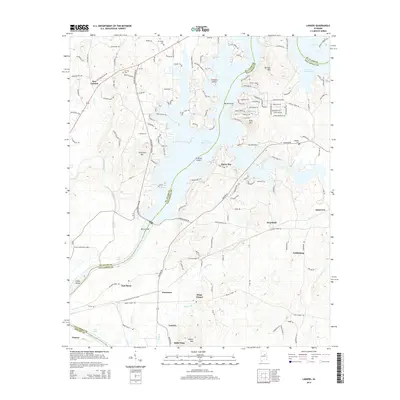
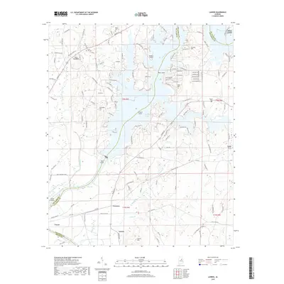
 1951 Laniers1952 Print · USGSThe Coosa River valley in the early fifties shows a landscape of river islands and rural Alabama settlements connected by the Atlantic Coast Line railroad. Genealogists can locate family landmarks such as Evening Star Ch Cem, Briarfield Sch, and the community of Laniers.5 unique versions available
 - 1953 Map of Birmingham, 1964 Print
 1953 Birmingham1964 Print · USGSCentral Alabama at mid-century shows a landscape defined by industrial expansion and the iron-rich ridges surrounding Birmingham. Researchers can trace the extensive rail networks of the L & N RR or locate historic federal sites like the Anniston Ordnance Depot.4 unique versions available
 - 1956 Map of Birmingham
 1956 Birmingham1956 Print · USGSCentral Alabama in the mid-fifties exhibits a landscape of growing cities and deep-rooted industrial corridors. Genealogists and historians can trace the development of suburban Mountain Brook or locate regional hubs like Sylacauga and Jasper.
 - 1957 Map of Birmingham
 1957 Birmingham1957 Print · USGSNorth-Central Alabama in the mid-fifties is an industrial powerhouse centered on the steel valleys and sprawling iron ridges. Genealogists and historians can trace the rail-linked growth of Birmingham and Tuscaloosa, or locate rural landmarks like Talladega College and the Anniston Ordnance Depot.
 - 1958 Map of Childersburg, 1960 Print
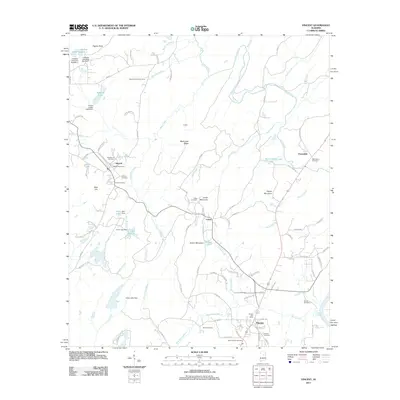
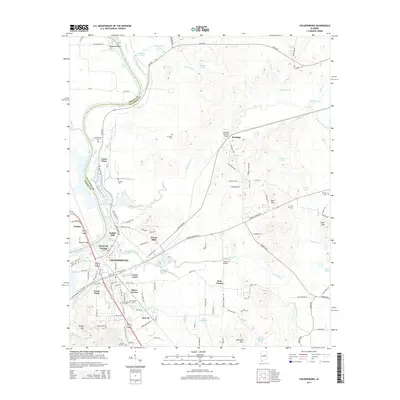
 1958 Childersburg1960 Print · USGSChildersburg and the Coosa River valley are shown here during a peak of industrial and military activity in the late fifties. Genealogists can locate family landmarks including Watwood Sch, Mt Zion Cem, and the Alabama Ordnance Works.3 unique versions available
 - 1958 Map of Harpersville, 1960 Print
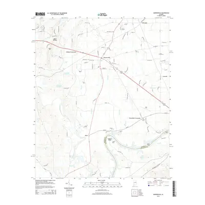
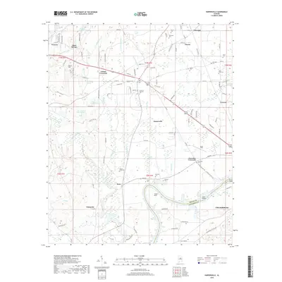
 1958 Harpersville1960 Print · USGSHarpersville and the surrounding Shelby County riverlands are captured here in the late fifties, showcasing a landscape of rail-fed commerce and rural communities. Genealogists can trace family landmarks like Baker Grove Ch, Kidd Cem, and the riverfront settlement of Bailey.5 unique versions available
 - 1975 Map of Laniers, 1976 Print
 1975 Laniers1976 Print · USGSThe Alabama landscape near the Coosa River is captured in the mid-seventies just as the shoreline began to develop. Researchers can trace the winding branches of Logan Martin Lake and locate the small settlement of Laniers amidst the woods and fields.
 - 1975 Map of Vincent, 1977 Print
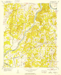
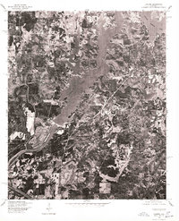
 1975 Vincent1977 Print · USGSShelby County in the mid-seventies is revealed through this detailed orthophoto survey, showing the town and its rural surroundings with photographic precision. Local historians can trace the clearings and road patterns around Vincent as they existed before modern expansion.
 - 1975 Map of Harpersville, 1977 Print
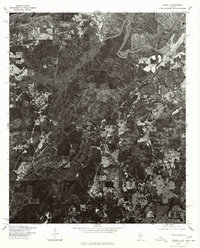
 1975 Harpersville1977 Print · USGSHarpersville and the Coosa River valley are seen here in the mid-seventies through detailed aerial imagery. Researchers can trace land use patterns and property boundaries near Harpersville or study the shoreline development along Lay Lake and Childersburg.
 - 1975 Map of Childersburg, 1977 Print
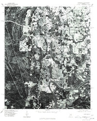
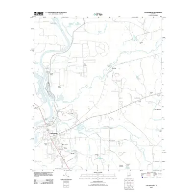
 1975 Childersburg1977 Print · USGSThe industrial and riverfront character of Talladega County comes into sharp focus in this mid-1970s orthophotograph. Genealogists and local historians can trace the precise residential layout of Childersburg and its proximity to the waters of Lay Lake and the Coosa River.
 - 1984 Map of Birmingham South, 1985 Print
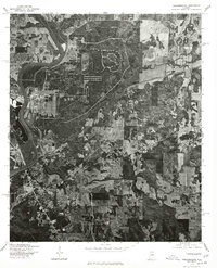
 1984 Birmingham South1985 Print · USGSThe Birmingham metropolitan region and the Coosa River valley are shown here in the mid-eighties as suburban growth expanded south into the ridges. Genealogists and local historians can trace the development of communities from Bessemer to Sylacauga alongside the Lay Lake shoreline and the Talladega National Forest.2 unique versions available
 - 2011 Map of Laniers, 2011 Print
 2011 Laniers2011 Print · USGSCovers Vincent, including Pell City, Willingham Estates, and other nearby areas
 - 2011 Map of Harpersville, 2011 Print
 2011 Harpersville2011 Print · USGSCovers Vincent, including Childersburg, Wilsonville, and other nearby areas
 - 2011 Map of Childersburg, 2011 Print
 2011 Childersburg2011 Print · USGSCovers Vincent, including Childersburg, Bon Air, and other nearby areas
 - 2011 Map of Vincent, 2011 Print
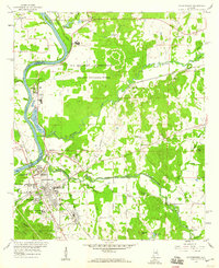
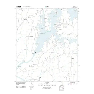
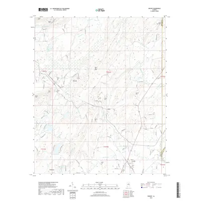
 2011 Vincent2011 Print · USGSCovers Vincent, including Westover, Sterrett, and other nearby areas
 - 2014 Map of Harpersville, 2014 Print
 2014 Harpersville2014 Print · USGSCovers Vincent, including Childersburg, Wilsonville, and other nearby areas
 - 2014 Map of Vincent, 2014 Print
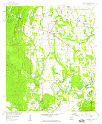
 2014 Vincent2014 Print · USGSCovers Vincent, including Westover, Sterrett, and other nearby areas
 - 2014 Map of Childersburg, 2014 Print
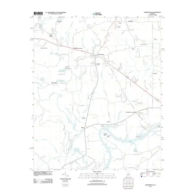
 2014 Childersburg2014 Print · USGSCovers Vincent, including Childersburg, Bon Air, and other nearby areas
 - 2014 Map of Laniers, 2014 Print
 2014 Laniers2014 Print · USGSCovers Vincent, including Pell City, Willingham Estates, and other nearby areas
 - 2018 Map of Vincent, 2018 Print
 2018 Vincent2018 Print · USGSCovers Vincent, including Westover, Sterrett, and other nearby areas
 - 2018 Map of Harpersville, 2018 Print
 2018 Harpersville2018 Print · USGSCovers Vincent, including Childersburg, Wilsonville, and other nearby areas
 - 2018 Map of Laniers, 2018 Print
 2018 Laniers2018 Print · USGSCovers Vincent, including Pell City, Willingham Estates, and other nearby areas
Showing maps 1-25 of 34
Top cities near Vincent
- Birmingham historical maps
- Hoover historical maps
- Trussville historical maps
- Chelsea historical maps
- Irondale historical maps
- Moody historical maps
See more
Top neighborhoods of Vincent
Frequently asked questions
- What are the different types of historical maps available for Vincent?
- What is the oldest map of Vincent?
- Where can I purchase historical maps of Vincent for my home or office?
- Where can I download high-res historical maps of Vincent?
- Are there historical topographic maps available for Vincent?
- Is there historical aerial imagery available for Vincent?
- Where are historical maps of Vincent sourced from?