2000s (21st Century) Maps of Ashville, Alabama
Explore 16 historic maps of Ashville from the 2000s (21st Century). These maps offer a rare glimpse into what life looked like during the 2000s — showing old roads, neighborhoods, homes, and landmarks that have changed or disappeared over time.
Whether you're researching your family's past, planning a metal detecting trip, or studying how Ashville's landscape evolved across the 2000s, these high-resolution maps are a powerful tool for exploring the history of this region.
- Focus on a specific era: All maps on this page are from the 2000s, giving you a focused view of this time period.
- See what’s changed: Compare century-old streets, trails, and buildings to today's modern landscape using overlays and satellite layers.
- Research with precision: Use these maps for genealogy, historical research, land use analysis, or educational projects.
- View, download, or print: Maps are fully viewable online in high resolution, and can be downloaded or printed for your own records.
Start exploring Ashville's history through authentic maps from the 2000s. This is your window into the past.
Ashville, AL maps
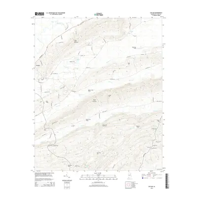
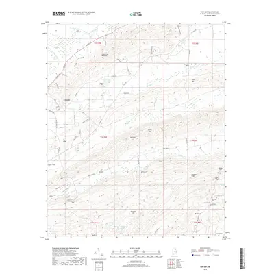
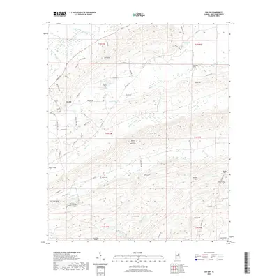
(16)- 2011 Map of Cox Gap, 2011 Print
 2011 Cox Gap2011 Print · USGSCovers Ashville, including Ragland, St. Clair County, and other nearby areas
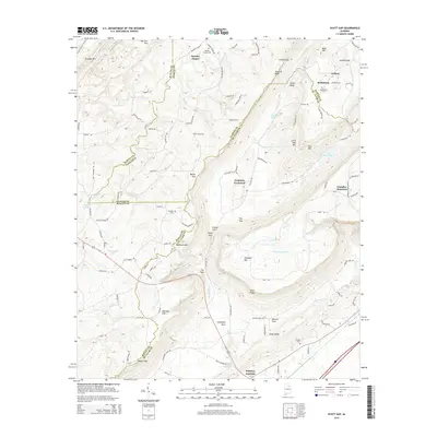
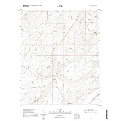
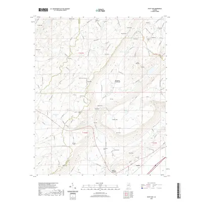
 - 2011 Map of Hyatt Gap, 2011 Print
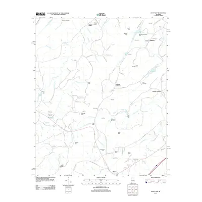 2011 Hyatt Gap2011 Print · USGSCovers Ashville, including Chandler Mountain, Ferguson Crossroad, and other nearby areas
 - 2011 Map of Ashville, 2011 Print
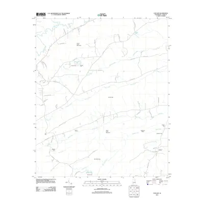
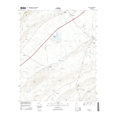
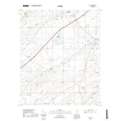
 2011 Ashville2011 Print · USGSCovers Ashville, including Cool Springs, Whitney Junction, and other nearby areas
 - 2014 Map of Cox Gap, 2014 Print
 2014 Cox Gap2014 Print · USGSCovers Ashville, including Ragland, St. Clair County, and other nearby areas
 - 2014 Map of Hyatt Gap, 2014 Print
 2014 Hyatt Gap2014 Print · USGSCovers Ashville, including Chandler Mountain, Ferguson Crossroad, and other nearby areas
 - 2014 Map of Ashville, 2014 Print
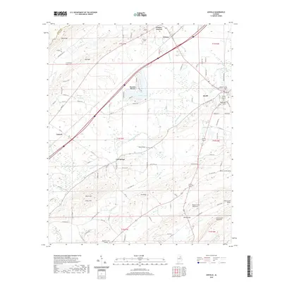
 2014 Ashville2014 Print · USGSCovers Ashville, including Cool Springs, Whitney Junction, and other nearby areas
 - 2018 Map of Cox Gap, 2018 Print
 2018 Cox Gap2018 Print · USGSCovers Ashville, including Ragland, St. Clair County, and other nearby areas
 - 2018 Map of Hyatt Gap, 2018 Print
 2018 Hyatt Gap2018 Print · USGSCovers Ashville, including Chandler Mountain, Ferguson Crossroad, and other nearby areas
 - 2018 Map of Ashville, 2018 Print
 2018 Ashville2018 Print · USGSCovers Ashville, including Cool Springs, Whitney Junction, and other nearby areas
 - 2020 Map of Ashville, 2020 Print
 2020 Ashville2020 Print · USGSCovers Ashville, including Cool Springs, Whitney Junction, and other nearby areas
 - 2020 Map of Hyatt Gap, 2020 Print
 2020 Hyatt Gap2020 Print · USGSCovers Ashville, including Chandler Mountain, Ferguson Crossroad, and other nearby areas
 - 2020 Map of Cox Gap, 2020 Print
 2020 Cox Gap2020 Print · USGSCovers Ashville, including Ragland, St. Clair County, and other nearby areas
 - 2024 Map of Ashville, 2024 Print
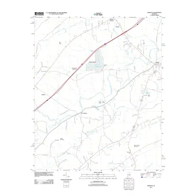
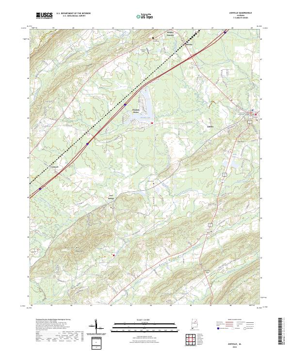 2024 Ashville2024 Print · USGSSt. Clair County settlements and ridge-and-valley terrain are captured in this recent survey of the Alabama interior. Trace family roots and local landmarks from Ashville and the Courthouse to Moore Cem and Whitney Junction.
 - 2024 Map of Hyatt Gap, 2024 Print
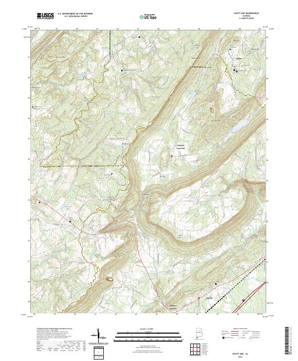 2024 Hyatt Gap2024 Print · USGSThe tri-county borders of St. Clair, Etowah, and Blount meet among the deep ridges and gaps of this Alabama landscape in the 2020s. Trace local family histories through sites like Moodys Chapel Cem, Choate Cem, and the settlement at Ferguson Crossroad.
 - 2024 Map of Cox Gap, 2024 Print
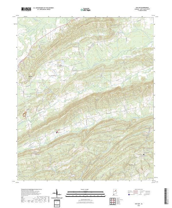 2024 Cox Gap2024 Print · USGSSt. Clair County in the modern era shows a landscape where deep-rooted communities like Ashville and Ragland are bound by the Appalachian ridges. Genealogists and researchers can locate Bethany Cem, Looney Gap, and family landmarks along the Slash Ham Valley.
 - 2026 Map of Hyatt Gap, 2026 Print
 2026 Hyatt Gap2026 Print · USGSCovers Ashville, including Chandler Mountain, Ferguson Crossroad, and other nearby areas
End of results
Showing maps 1-16 of 16
Top cities near Ashville
- Gadsden historical maps
- Moody historical maps
- Pell City historical maps
- Rainbow City historical maps
- Southside historical maps
- Oneonta historical maps
See more
Top neighborhoods of Ashville
Frequently asked questions
- What are the different types of historical maps available for Ashville?
- What is the oldest map of Ashville?
- Where can I purchase historical maps of Ashville for my home or office?
- Where can I download high-res historical maps of Ashville?
- Are there historical topographic maps available for Ashville?
- Is there historical aerial imagery available for Ashville?
- Where are historical maps of Ashville sourced from?