Old Maps of Odenville, Alabama
Explore 27 old maps of Odenville, spanning from 1889 to today. These high-resolution historic maps reveal how streets, neighborhoods, landmarks, and natural features evolved over time — perfect for genealogy, metal detecting, research, and local history exploration.
What you can do with these maps:
- See how Odenville changed over time: Compare historical maps to modern-day views to trace roads, homesites, rail lines & more.
- View detailed metadata: Each map includes creators, publishers, year, scale, and archive source.
- Overlay maps with satellite & LiDAR: Visualize the past alongside modern tools to explore terrain & human change.
- Trusted historical sources: Maps sourced from the USGS, Library of Congress, and other archives.
- Access maps your way: View online, download high-res files, or order prints for personal or research use.
Start exploring old maps of Odenville to uncover forgotten places, hidden landmarks, and the deep history beneath your feet.
Odenville, AL maps
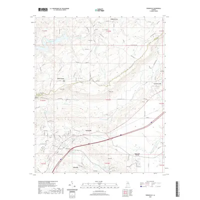
(27)- 1889 Map of Springville
 1889 Springville1889 Print · USGSSt. Clair County and its neighbors are mapped here during the late Victorian era as railroads began to transform the old plantation and river economy. Genealogists can locate family landmarks like Henry's Mill, trace the path of Jackson's Trace, or find the location of old river crossings at Colman's Ferry.
 - 1892 Map of Springville
 1892 Springville1892 Print · USGSNortheast Alabama at the end of the nineteenth century is a landscape of river crossings and expanding rail lines. Genealogists can trace family footprints at St. Clair Springs, Greensport, and numerous river crossings like Colman's Ferry or Goodwin's Mill.7 unique versions available
 - 1953 Map of Birmingham, 1964 Print
 1953 Birmingham1964 Print · USGSCentral Alabama at mid-century shows a landscape defined by industrial expansion and the iron-rich ridges surrounding Birmingham. Researchers can trace the extensive rail networks of the L & N RR or locate historic federal sites like the Anniston Ordnance Depot.4 unique versions available
 - 1956 Map of Birmingham
 1956 Birmingham1956 Print · USGSCentral Alabama in the mid-fifties exhibits a landscape of growing cities and deep-rooted industrial corridors. Genealogists and historians can trace the development of suburban Mountain Brook or locate regional hubs like Sylacauga and Jasper.
 - 1957 Map of Birmingham
 1957 Birmingham1957 Print · USGSNorth-Central Alabama in the mid-fifties is an industrial powerhouse centered on the steel valleys and sprawling iron ridges. Genealogists and historians can trace the rail-linked growth of Birmingham and Tuscaloosa, or locate rural landmarks like Talladega College and the Anniston Ordnance Depot.
 - 1958 Map of Wattsville, 1960 Print
 1958 Wattsville1960 Print · USGSSt. Clair County in the late fifties shows a landscape shaped by coal and creek-bottom agriculture. Genealogists and historians can trace the foundations of the community at Coal City, the homes near Wattsville, and the waters of Beaver Creek.4 unique versions available
 - 1958 Map of Springville, 1960 Print
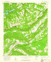 1958 Springville1960 Print · USGSThe valleys between BLOUNT MOUNTAIN and JONES MOUNTAIN are captured here in the late fifties as new highways began to reshape the landscape. Researchers can trace family roots through sites like Saint Clair Springs, Springville, and several rural landmarks like Holly Springs Ch.4 unique versions available
 - 1958 Map of Odenville, 1960 Print
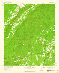
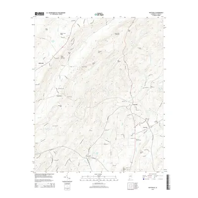
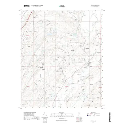
 1958 Odenville1960 Print · USGSSt. Clair County's central ridges and valleys are shown in the late fifties, during a period of active mining and rail transport. Genealogists can locate family landmarks like Turnbough Town, Macedonia Ch, and the Seaboard Air Line Railroad corridor.2 unique versions available
 - 1975 Map of Wattsville, 1977 Print
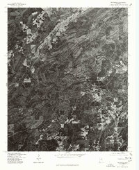 1975 Wattsville1977 Print · USGSCovers Odenville, including Pell City, Coal City, and other nearby areas
 - 1975 Map of Odenville, 1977 Print
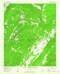
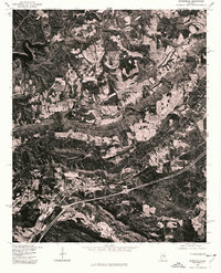
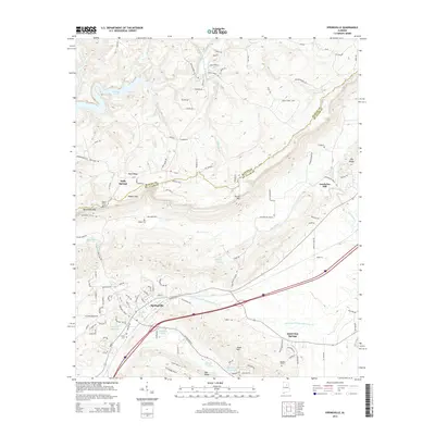
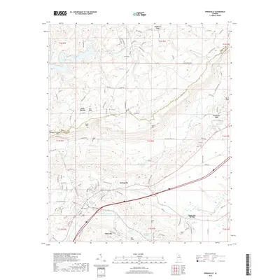
 1975 Odenville1977 Print · USGSOdenville and the surrounding St. Clair County landscape appear in crisp detail in this mid-seventies aerial survey. Researchers can trace the development of the road network and see the exact layout of land holdings around Odenville during this era.
 - 1975 Map of Springville, 1977 Print
 1975 Springville1977 Print · USGSSt. Clair County appears in high-contrast detail during the mid-seventies, showing the intersection of ridge-and-valley terrain with new infrastructure. Researchers can locate the historic community of Saint Clair Springs and trace the shoreline of INLAND LAKE.
 - 1984 Map of Birmingham North, 1985 Print
 1984 Birmingham North1985 Print · USGSNorth Alabama in the mid-eighties shows the bustling intersection of the Appalachian foothills and the Deep South's industrial heart. Genealogists and historians can trace the paths of the Southern Railway and Seaboard System Railroad through towns like Oneonta, Leeds, and Springville.2 unique versions available
 - 2011 Map of Springville, 2011 Print
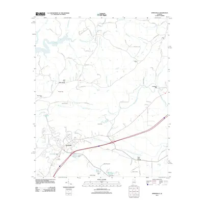 2011 Springville2011 Print · USGSCovers Odenville, including Springville, Highland Lake, and other nearby areas
 - 2011 Map of Wattsville, 2011 Print
 2011 Wattsville2011 Print · USGSCovers Odenville, including Pell City, Hardwick, and other nearby areas
 - 2011 Map of Odenville, 2011 Print
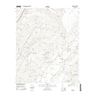
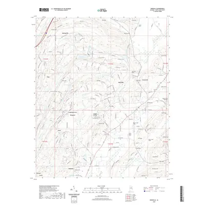
 2011 Odenville2011 Print · USGSCovers Odenville, including Moody, Margaret, and other nearby areas
 - 2014 Map of Wattsville, 2014 Print
 2014 Wattsville2014 Print · USGSCovers Odenville, including Pell City, Hardwick, and other nearby areas
 - 2014 Map of Odenville, 2014 Print
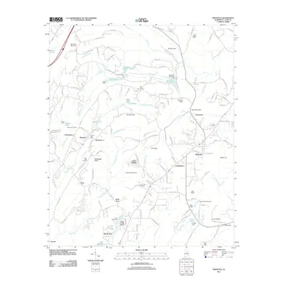
 2014 Odenville2014 Print · USGSCovers Odenville, including Moody, Margaret, and other nearby areas
 - 2014 Map of Springville, 2014 Print
 2014 Springville2014 Print · USGSCovers Odenville, including Springville, Highland Lake, and other nearby areas
 - 2018 Map of Wattsville, 2018 Print
 2018 Wattsville2018 Print · USGSCovers Odenville, including Pell City, Hardwick, and other nearby areas
 - 2018 Map of Odenville, 2018 Print
 2018 Odenville2018 Print · USGSCovers Odenville, including Moody, Margaret, and other nearby areas
 - 2018 Map of Springville, 2018 Print
 2018 Springville2018 Print · USGSCovers Odenville, including Springville, Highland Lake, and other nearby areas
 - 2020 Map of Odenville, 2020 Print
 2020 Odenville2020 Print · USGSCovers Odenville, including Moody, Margaret, and other nearby areas
 - 2020 Map of Wattsville, 2020 Print
 2020 Wattsville2020 Print · USGSCovers Odenville, including Pell City, Hardwick, and other nearby areas
 - 2020 Map of Springville, 2020 Print
 2020 Springville2020 Print · USGSCovers Odenville, including Springville, Highland Lake, and other nearby areas
 - 2024 Map of Wattsville, 2024 Print
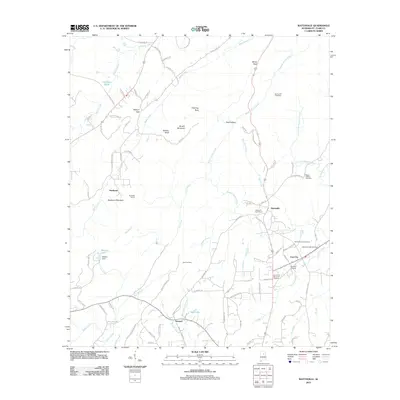
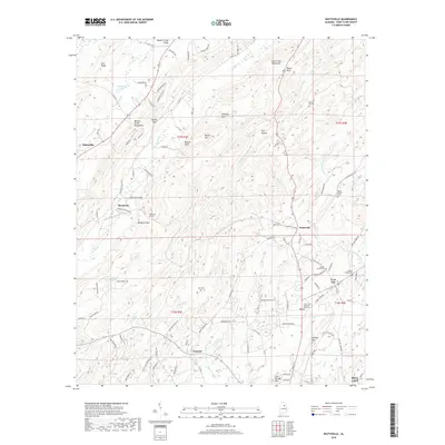
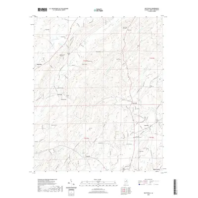
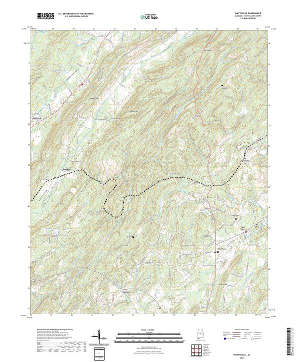 2024 Wattsville2024 Print · USGSSt. Clair County's ridgelines and creek valleys are mapped here in the modern era, showing the enduring geography between Odenville and Coal City. Family historians can pinpoint numerous local burial sites including Broken Arrow Cem and Harkeys Chapel Cem.
Showing maps 1-25 of 27
Top cities near Odenville
- Birmingham historical maps
- Trussville historical maps
- Irondale historical maps
- Moody historical maps
- Pell City historical maps
- Leeds historical maps
See more
Top neighborhoods of Odenville
- Copper Springs historical maps
- Green Acres Estates historical maps
- Havilah Hills Estates historical maps
- Shady Acres historical maps
Frequently asked questions
- What are the different types of historical maps available for Odenville?
- What is the oldest map of Odenville?
- Where can I purchase historical maps of Odenville for my home or office?
- Where can I download high-res historical maps of Odenville?
- Are there historical topographic maps available for Odenville?
- Is there historical aerial imagery available for Odenville?
- Where are historical maps of Odenville sourced from?