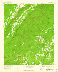
1958 Map of Wattsville
USGS Topo · Published 1960About this map
Wattsville and the industrial corridors of central St. Clair County are captured here during the late 1950s, a period defined by the enduring presence of the coal economy. The settlement of Coal City serves as a focal point for researchers interested in the local labor history and community layout of the Alabama mining belt. To the west, Hardwick and Tanyard anchor the rural landscape, illustrating the proximity between residential clusters and the natural drainages of the region. The map tracks the winding course of Little Canoe Creek and the broader valley of Beaver Creek, providing a detailed look at the geographic obstacles and water resources that shaped transportation and agriculture in this portion of the state before modern expansion altered the footprint of these small communities.
Find a feature on this map
6 named features on this map. Tap any name to fly to it.
Don’t see what you’re looking for? This feature index may not catch every label — zoom into the map to look around manually.
Map Details
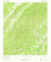
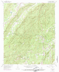
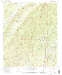
Editions of this 1958 Wattsville Map
4 editions found
Other maps of this area

1889 · Springville
USGS Topo · 1:125,000

1892 · Springville
USGS Topo · 1:125,000

1947 · Cox Gap
USGS Topo · 1:24,000

1947 · Ragland
USGS Topo · 1:62,500

1947 · Ragland
USGS Topo · 1:24,000

1947 · Riverside
USGS Topo · 1:24,000

1947 · Steele
USGS Topo · 1:62,500

1953 · Birmingham
USGS Topo · 1:250,000

1956 · Birmingham
USGS Topo · 1:250,000

1957 · Birmingham
USGS Topo · 1:250,000