
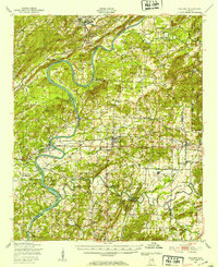
1947 Map of Ragland
USGS Topo · Published 1953About this map
The Coosa River meanders sharply through the heart of this landscape, its path defined by dramatic features like Emory Bend and Broken Arrow Shoals. The 1940s economy of this Alabama corridor is etched in the landscape through the industrial presence of the Anniston Ordnance Depot and the Anniston Air Force Base (Inactive), while several water-powered sites such as Francis Mill, Martins Mill, and Smiths Mill suggest an older reliance on local watercourses.
Find a feature on this map
84 named features on this map. Tap any name to fly to it.
Don’t see what you’re looking for? This feature index may not catch every label — zoom into the map to look around manually.
Map Details
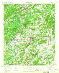
Editions of this 1947 Ragland Map
3 editions found
Other maps of this area

1889 · Springville
USGS Topo · 1:125,000

1890 · Talladega
USGS Topo · 1:125,000

1891 · Ashland
USGS Topo · 1:125,000

1892 · Springville
USGS Topo · 1:125,000

1892 · Talladega
USGS Topo · 1:125,000

1900 · Anniston
USGS Topo · 1:125,000

1943 · Talladega
USGS Topo · 1:62,500

1946 · Talladega
USGS Topo · 1:62,500

1947 · Cox Gap
USGS Topo · 1:24,000

1947 · Eastaboga
USGS Topo · 1:24,000