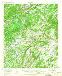
1947 Map of Ragland
USGS Topo · Published 1965About this map
The Coosa River defines this landscape as it meanders through the borders of St. Clair, Talladega, and Calhoun Counties. Small agricultural and industrial outposts like Ragland, Lincoln, and Eastaboga are connected by the Southern Railway and the Seaboard Air Line, illustrating a mid-century transport network dependent on rail and water. Notable river features such as the winding Embry Bend and the navigational hazard of Broken Arrow Shoals highlight the historical importance of the Coosa's natural geography before extensive modern alterations.
Find a feature on this map
69 named features on this map. Tap any name to fly to it.
Don’t see what you’re looking for? This feature index may not catch every label — zoom into the map to look around manually.
Map Details
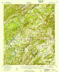
Editions of this 1947 Ragland Map
3 editions found

Other maps of this area

1889 · Springville
USGS Topo · 1:125,000

1890 · Talladega
USGS Topo · 1:125,000

1891 · Ashland
USGS Topo · 1:125,000

1892 · Springville
USGS Topo · 1:125,000

1892 · Talladega
USGS Topo · 1:125,000

1900 · Anniston
USGS Topo · 1:125,000

1943 · Talladega
USGS Topo · 1:62,500

1946 · Talladega
USGS Topo · 1:62,500

1947 · Cox Gap
USGS Topo · 1:24,000

1947 · Eastaboga
USGS Topo · 1:24,000