
1947 Map of Eastaboga
USGS Topo · Published 1953About this map
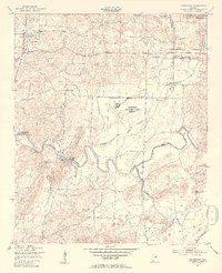
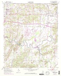
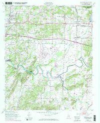
The winding course of Choccolocco Creek and its many tributaries, including Cheaha Creek and Eastaboga Creek, dominate this mid-century landscape on the border of Talladega and Calhoun counties. The area is characterized by a mix of agricultural valley land and significant military and industrial presence. To the north, the Anniston Ordnance Depot Military Reservation occupies a large tract, while the central portion features the Anniston Air Force Base (Inactive), reflecting the post-war status of these defense installations.
Find a feature on this map
24 named features on this map. Tap any name to fly to it.
Don’t see what you’re looking for? This feature index may not catch every label — zoom into the map to look around manually.
Map Details
Editions of this 1947 Eastaboga Map
4 editions found
Other maps of this area

1889 · Springville
USGS Topo · 1:125,000

1890 · Talladega
USGS Topo · 1:125,000

1891 · Ashland
USGS Topo · 1:125,000

1892 · Springville
USGS Topo · 1:125,000

1892 · Talladega
USGS Topo · 1:125,000

1900 · Anniston
USGS Topo · 1:125,000

1943 · Talladega
USGS Topo · 1:62,500

1946 · Talladega
USGS Topo · 1:62,500

1947 · Ragland
USGS Topo · 1:62,500

1947 · Ragland
USGS Topo · 1:24,000