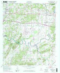
1947 Map of Eastaboga
USGS Topo · Published 1973About this map
Choccolocco Creek winds through the heart of the Talladega and Calhoun county line, defining a landscape of agricultural valley bottoms and rising ridges. In the mid-twentieth century, this region saw a significant transformation of its terrain with the development of Logan Martin Lake and the establishment of the International Speedway. These modern developments sit alongside long-established rural centers like Lincoln and Eastaboga, where the Southern railroad provided critical transport for the area's timber and farm products.
Find a feature on this map
29 named features on this map. Tap any name to fly to it.
Don’t see what you’re looking for? This feature index may not catch every label — zoom into the map to look around manually.
Map Details
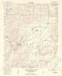
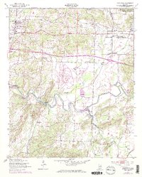
Editions of this 1947 Eastaboga Map
4 editions found
Other maps of this area

1889 · Springville
USGS Topo · 1:125,000

1890 · Talladega
USGS Topo · 1:125,000

1891 · Ashland
USGS Topo · 1:125,000

1892 · Springville
USGS Topo · 1:125,000

1892 · Talladega
USGS Topo · 1:125,000

1900 · Anniston
USGS Topo · 1:125,000

1943 · Talladega
USGS Topo · 1:62,500

1946 · Talladega
USGS Topo · 1:62,500

1947 · Eastaboga
USGS Topo · 1:24,000

1947 · Ragland
USGS Topo · 1:62,500