
1947 Map of Ragland
USGS Topo · Published 1953About this map
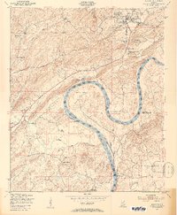
The Coosa River dominates this mid-century landscape, carving the dramatic horseshoe of Emory Bend and forming the boundary between St. Clair and Talladega counties. In the industrial north, Ragland serves as a hub where the Seaboard Air Line railroad intersects with local industry, evidenced by a Quarry and a dedicated Conveyor Belt system. This industrial presence contrasts with the deeply rural character of the surrounding hills, which are dotted with family-named landmarks like Mitchell Mountain and Mitchell Cem.
Find a feature on this map
27 named features on this map. Tap any name to fly to it.
Don’t see what you’re looking for? This feature index may not catch every label — zoom into the map to look around manually.
Map Details
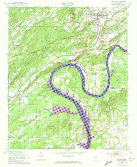
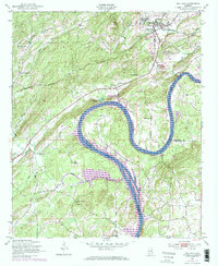
Editions of this 1947 Ragland Map
4 editions found
Other maps of this area

1889 · Springville
USGS Topo · 1:125,000

1892 · Springville
USGS Topo · 1:125,000

1947 · Cox Gap
USGS Topo · 1:24,000

1947 · Eastaboga
USGS Topo · 1:24,000

1947 · Ragland
USGS Topo · 1:62,500

1947 · Riverside
USGS Topo · 1:24,000

1947 · Francis Mill
USGS Topo · 1:24,000

1947 · Steele
USGS Topo · 1:62,500
1949 · Ohatchee
USGS Topo · 1:24,000

1953 · Birmingham
USGS Topo · 1:250,000