
1947 Map of Cox Gap
USGS Topo · Published 1948About this map
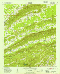
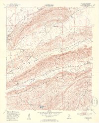
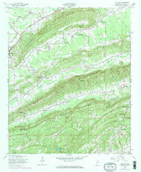
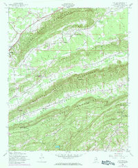
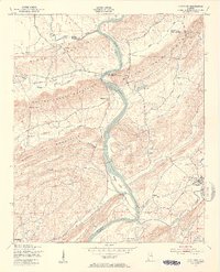
The settlement of Ashville sits at the western edge of a landscape defined by parallel ridges and narrow agricultural valleys in mid-century St. Clair County. This 1947 survey, later updated with 1972 revisions, illustrates a rural society organized around topographic corridors and small country congregations. Multiple mountain ranges, including the Canoe Creek Mountains, Hines Mountain, and Beaver Creek Mountains, dictate the placement of roads and homesteads. Local movement relied on several natural passes such as Cox Gap, Looney Gap, and Nichols Gap. The social fabric of the era is evidenced by the density of rural churches, from Weeping Mary Ch and Poplar Springs Ch in the north to Macedonia Ch in the south, often located near the headwaters of streams like Big Canoe Creek and Beaver Creek.
Find a feature on this map
27 named features on this map. Tap any name to fly to it.
Don’t see what you’re looking for? This feature index may not catch every label — zoom into the map to look around manually.
Map Details
Editions of this 1947 Cox Gap Map
5 editions found
Other maps of this area

1889 · Springville
USGS Topo · 1:125,000

1892 · Springville
USGS Topo · 1:125,000

1947 · Dunaway Mountain
USGS Topo · 1:24,000

1947 · Ragland
USGS Topo · 1:62,500

1947 · Ragland
USGS Topo · 1:24,000

1947 · Francis Mill
USGS Topo · 1:24,000

1947 · Steele
USGS Topo · 1:24,000

1947 · Steele
USGS Topo · 1:62,500
1949 · Ohatchee
USGS Topo · 1:24,000

1953 · Birmingham
USGS Topo · 1:250,000