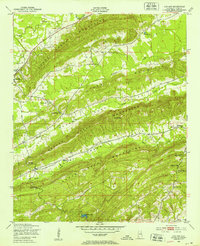
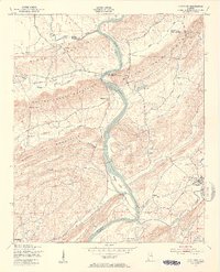
1947 Map of Cox Gap
USGS Topo · Published 1953About this map
Ashville sits at the western edge of a landscape defined by the rhythmic parallel ridges of the Appalachian Valley and Ridge province. In the late 1940s, this area of St. Clair County was characterized by narrow agricultural corridors like Shinbone Valley and the valleys of Beaver Creek and Shoal Creek, separated by the steep, wooded heights of the Canoe Creek Mountains and the Beaver Creek Mountains. The map reveals a deeply rooted rural community, marked by numerous small churches that served as local anchors, including Weeping Mary Ch, Poplar Springs Ch, and Bethany Ch. Transportation follows the grain of the land, with roads and tracks funneling through natural breaks in the ridges such as Cox Gap, Looney Gap, and Nichols Gap. Small water bodies like Morgan Lake and Borders Lake dot the lowlands, while Canoe Creek winds through the northern flats.
Find a feature on this map
25 named features on this map. Tap any name to fly to it.
Don’t see what you’re looking for? This feature index may not catch every label — zoom into the map to look around manually.
Map Details
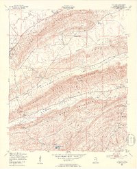
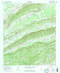
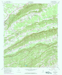
Editions of this 1947 Cox Gap Map
5 editions found
Other maps of this area

1889 · Springville
USGS Topo · 1:125,000

1892 · Springville
USGS Topo · 1:125,000

1947 · Cox Gap
USGS Topo · 1:24,000

1947 · Dunaway Mountain
USGS Topo · 1:24,000

1947 · Ragland
USGS Topo · 1:62,500

1947 · Ragland
USGS Topo · 1:24,000

1947 · Francis Mill
USGS Topo · 1:24,000

1947 · Steele
USGS Topo · 1:24,000

1947 · Steele
USGS Topo · 1:62,500
1949 · Ohatchee
USGS Topo · 1:24,000