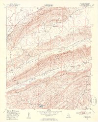
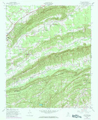
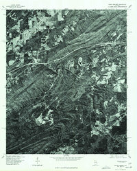
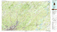
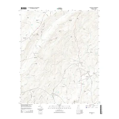
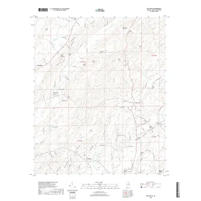
1947 Map of Cox Gap
USGS Topo · Published 1953About this map
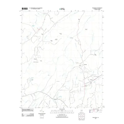
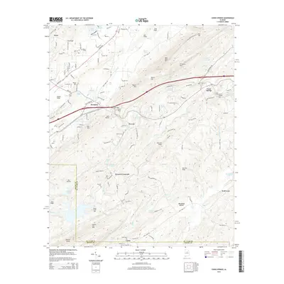
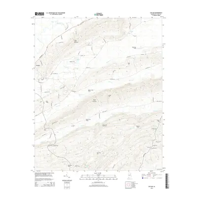
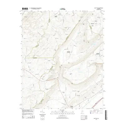
The town of Ashville sits at the western edge of this topographic study, where the valley floor meets the Canoe Creek Mountains. Surveyed shortly after World War II, the landscape is defined by the parallel ridges of the Hines Mountain, Beaver Creek Mountains, and Shoal Creek Mountains. These ridges create distinct corridors like Beaver Creek Valley and Shoal Creek Valley, which are navigable only through strategic passes such as Cox Gap, Looney Gap, and Leighton Gap. Rural life in the late 1940s is evidenced by a network of local congregations, including Gum Springs Ch, Weeping Mary Ch, and Bethany Ch. A notable industrial element is the Pipe Line cutting across the northern terrain, contrasting with the natural drainage of Big Canoe Creek and the southern Trout Creek.
Find a feature on this map
33 named features on this map. Tap any name to fly to it.
Don’t see what you’re looking for? This feature index may not catch every label — zoom into the map to look around manually.
Map Details
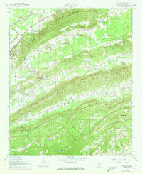
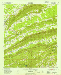
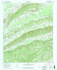
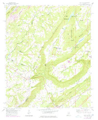
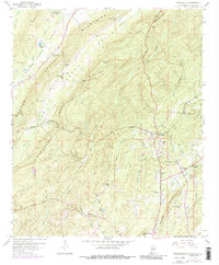
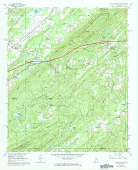
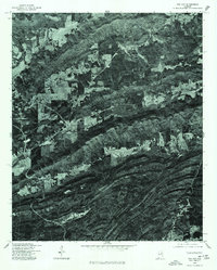
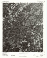
Editions of this 1947 Cox Gap Map
5 editions found
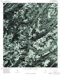
Historical Maps of Ashville Through Time
30 maps found
1947 Cox Gap
St. Clair County, AL
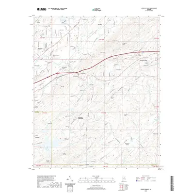
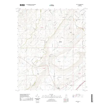
1958 Hyatt Gap
St. Clair County, AL
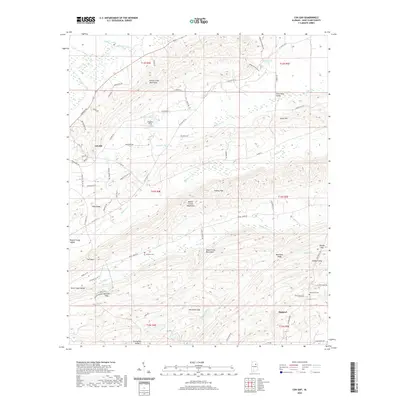
1958 Wattsville
St. Clair County, AL
1962 Cooks Springs
St. Clair County, AL
1975 Cooks Springs
St. Clair County, AL
1975 Cox Gap
St. Clair County, AL
1975 Hyatt Gap
St. Clair County, AL
1975 Wattsville
St. Clair County, AL
1984 Birmingham North
St. Clair County, AL
2011 Cooks Springs
St. Clair County, AL
2011 Cox Gap
St. Clair County, AL
2011 Hyatt Gap
St. Clair County, AL
2011 Wattsville
St. Clair County, AL
2014 Cooks Springs
St. Clair County, AL
2014 Cox Gap
St. Clair County, AL
2014 Hyatt Gap
St. Clair County, AL
2014 Wattsville
St. Clair County, AL
2018 Cooks Springs
St. Clair County, AL
2018 Cox Gap
St. Clair County, AL
2018 Hyatt Gap
St. Clair County, AL
2018 Wattsville
St. Clair County, AL
2020 Cooks Springs
St. Clair County, AL
2020 Cox Gap
St. Clair County, AL
2020 Hyatt Gap
St. Clair County, AL
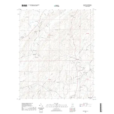
2020 Wattsville
St. Clair County, AL
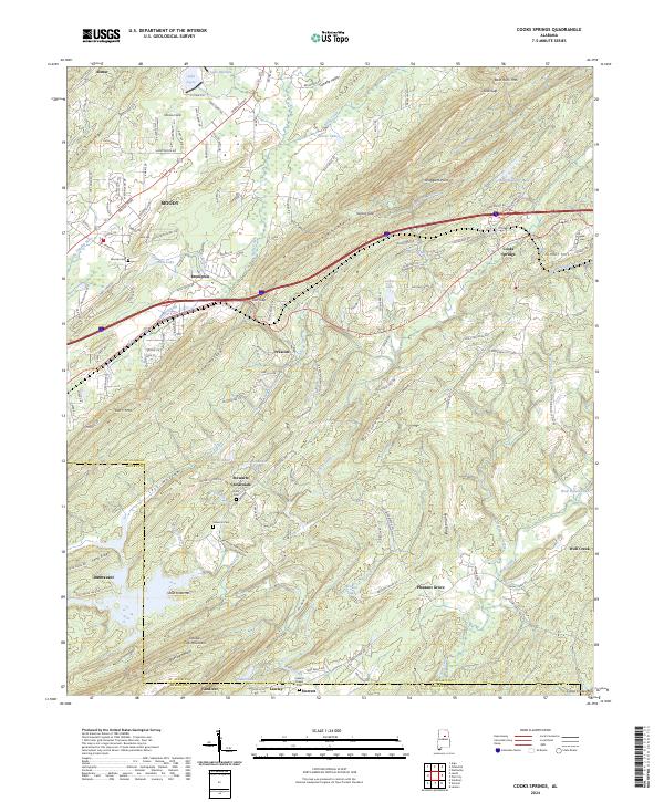
2024 Cooks Springs
St. Clair County, AL
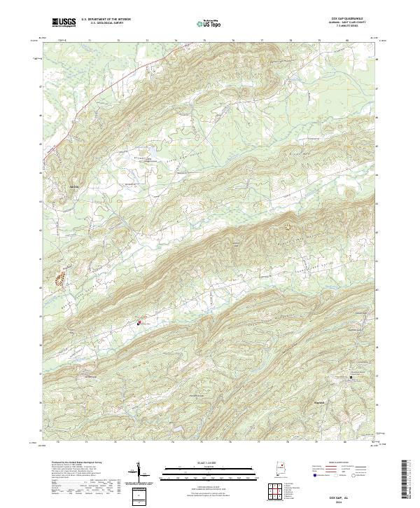
2024 Cox Gap
St. Clair County, AL
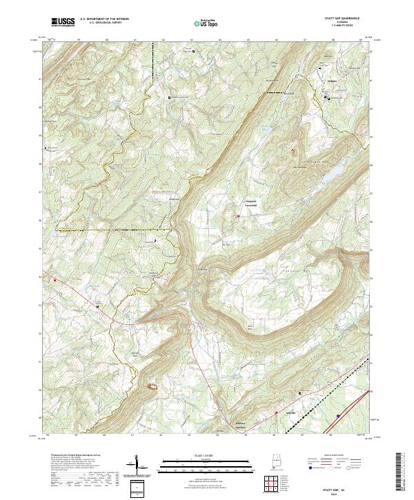
2024 Hyatt Gap
St. Clair County, AL
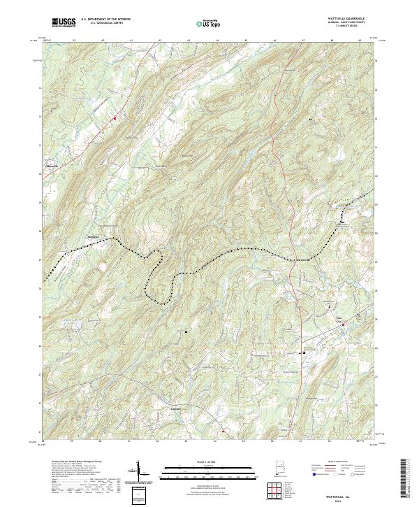
2024 Wattsville
St. Clair County, AL
2026 Hyatt Gap
St. Clair County, AL