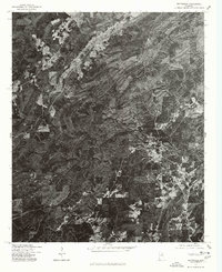
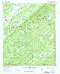
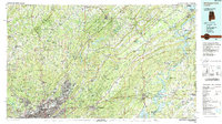
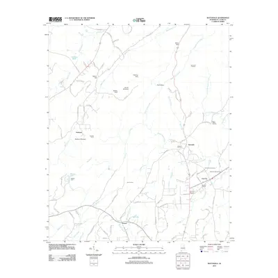
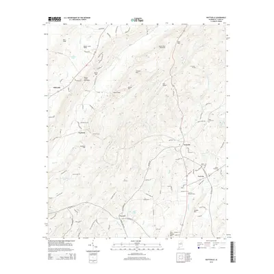
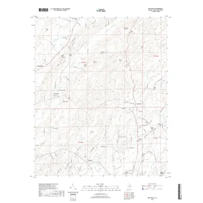
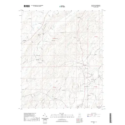
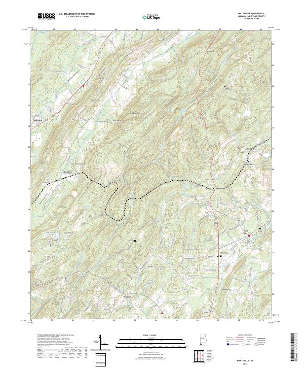
1975 Map of Wattsville
USGS Topo · Published 1977This historical map portrays the area of Wattsville in 1975, primarily covering St. Clair County. Featuring a scale of 1:24,000, this map provides a highly detailed snapshot of the terrain, roads, buildings, counties, and historical landmarks in the Wattsville region at the time. Published in 1977, it is the sole known edition of this map.
Map Details
Editions of this 1975 Wattsville Map
This is the sole edition of this map. No revisions or reprints were ever made.
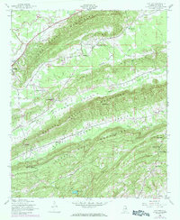
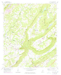
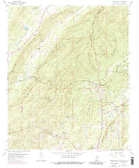
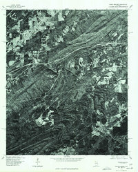
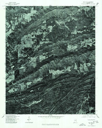
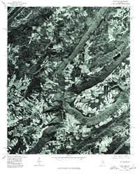
Historical Maps of Pell City Through Time
30 maps found
1947 Cox Gap
St. Clair County, AL
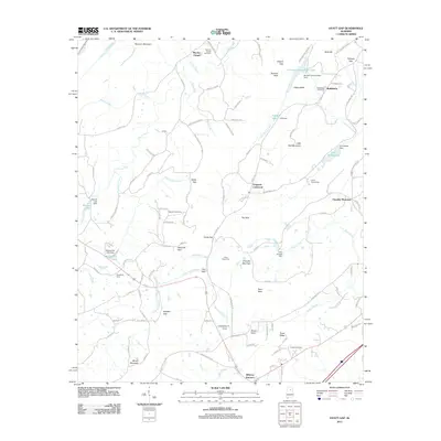
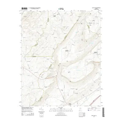
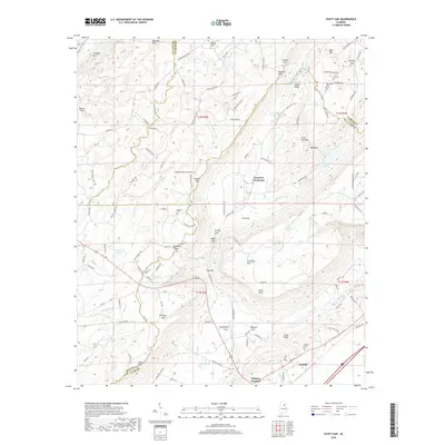
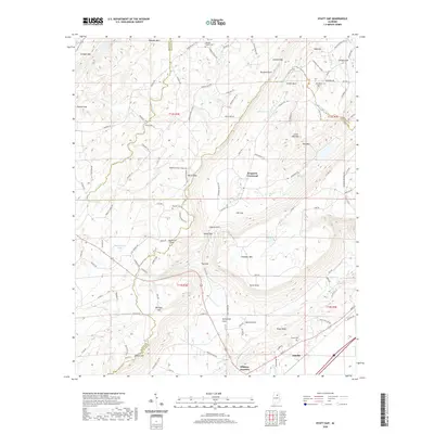
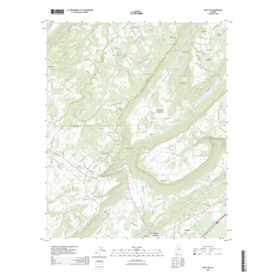
1958 Hyatt Gap
St. Clair County, AL
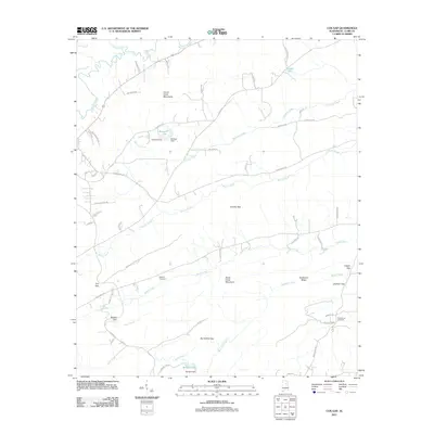
1958 Wattsville
St. Clair County, AL
1962 Cooks Springs
St. Clair County, AL
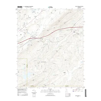
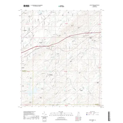
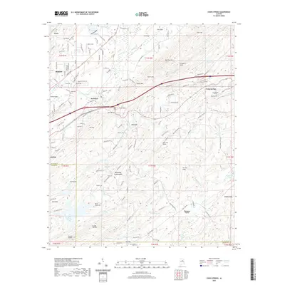
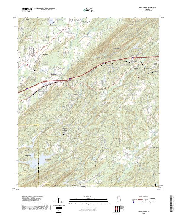
1975 Cooks Springs
St. Clair County, AL
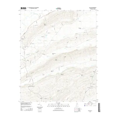
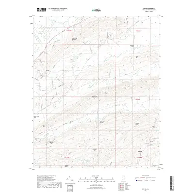
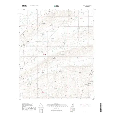
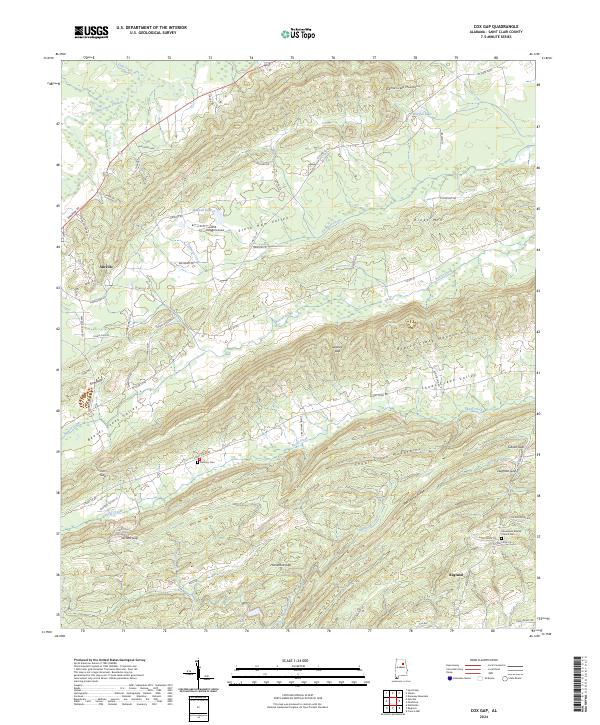
1975 Cox Gap
St. Clair County, AL
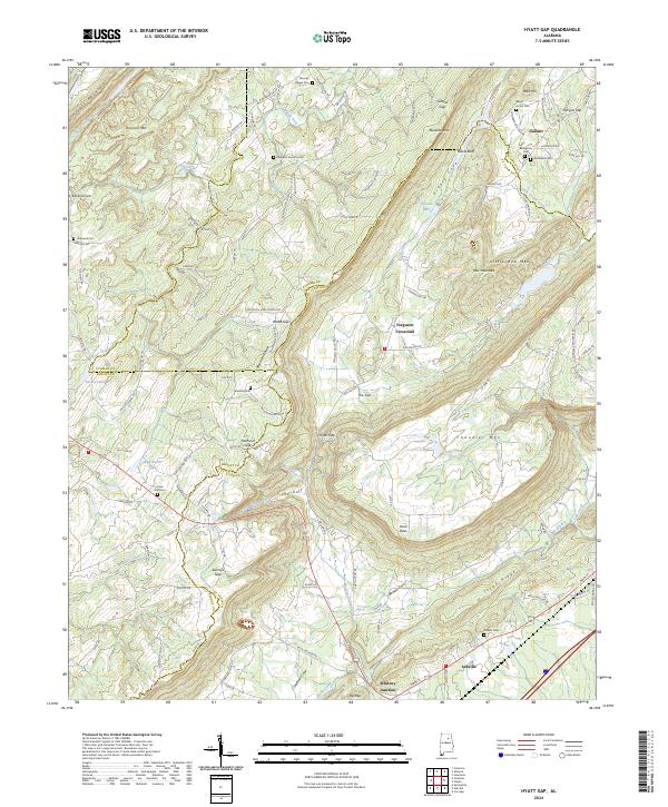
1975 Hyatt Gap
St. Clair County, AL
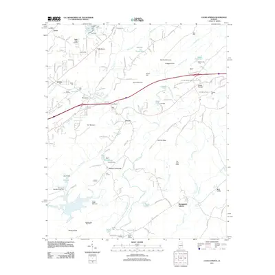
1975 Wattsville
St. Clair County, AL
1984 Birmingham North
St. Clair County, AL
2011 Cooks Springs
St. Clair County, AL
2011 Cox Gap
St. Clair County, AL
2011 Hyatt Gap
St. Clair County, AL
2011 Wattsville
St. Clair County, AL
2014 Cooks Springs
St. Clair County, AL
2014 Cox Gap
St. Clair County, AL
2014 Hyatt Gap
St. Clair County, AL
2014 Wattsville
St. Clair County, AL
2018 Cooks Springs
St. Clair County, AL
2018 Cox Gap
St. Clair County, AL
2018 Hyatt Gap
St. Clair County, AL
2018 Wattsville
St. Clair County, AL
2020 Cooks Springs
St. Clair County, AL
2020 Cox Gap
St. Clair County, AL
2020 Hyatt Gap
St. Clair County, AL
2020 Wattsville
St. Clair County, AL
2024 Cooks Springs
St. Clair County, AL
2024 Cox Gap
St. Clair County, AL
2024 Hyatt Gap
St. Clair County, AL
2024 Wattsville
St. Clair County, AL
2026 Hyatt Gap
St. Clair County, AL