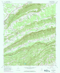
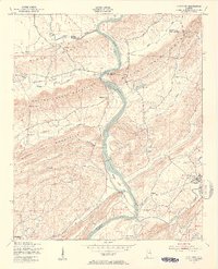
1947 Map of Cox Gap
USGS Topo · Published 1984About this map
The county seat of Ashville sits at the western edge of this topographic study, where the foothills of the Appalachians transition into a series of strictly parallel ridges. The landscape is defined by the striking northeast-to-southwest alignment of the Canoe Creek Mountains, Hines Mountain, and Beaver Creek Mountains. This corrugated terrain dictated the settlement patterns of the post-war era, forcing roads and small communities into narrow valleys carved by Big Canoe Creek, Beaver Creek, and Shoal Creek.
Find a feature on this map
23 named features on this map. Tap any name to fly to it.
Don’t see what you’re looking for? This feature index may not catch every label — zoom into the map to look around manually.
Map Details
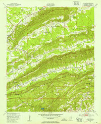
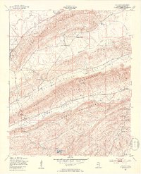
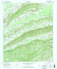
Editions of this 1947 Cox Gap Map
5 editions found
Other maps of this area

1889 · Springville
USGS Topo · 1:125,000

1892 · Springville
USGS Topo · 1:125,000

1947 · Cox Gap
USGS Topo · 1:24,000

1947 · Dunaway Mountain
USGS Topo · 1:24,000

1947 · Ragland
USGS Topo · 1:62,500

1947 · Ragland
USGS Topo · 1:24,000

1947 · Francis Mill
USGS Topo · 1:24,000

1947 · Steele
USGS Topo · 1:24,000

1947 · Steele
USGS Topo · 1:62,500
1949 · Ohatchee
USGS Topo · 1:24,000