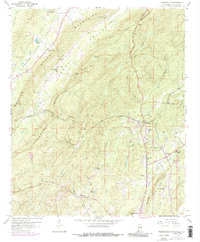
1958 Map of Wattsville
USGS Topo · Published 1987About this map
Pine Ridge and the Beaver Creek Mountains dominate this St. Clair County landscape, where deep-cut ridges run parallel to the industrial and agricultural valleys of the late 1950s. The region is defined by extensive extraction, with numerous strip mines and mine pits dotting the terrain near Coal City and Wattsville. Transportation is anchored by the Seaboard Coast Line railroad, which pierces the topography at the Hardwick Tunnel near Hardwick. Local life centers around a dense network of country churches and schools, such as Harkeys Chapel, Mt Moriah Ch, and the Coal City Sch. Along The Heart of Dixie Highway, modern developments like a drive-in theater appear alongside older family-named landmarks like Laymans Pond and Bowlin Bluff.
Find a feature on this map
58 named features on this map. Tap any name to fly to it.
Don’t see what you’re looking for? This feature index may not catch every label — zoom into the map to look around manually.
Map Details
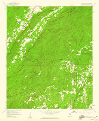
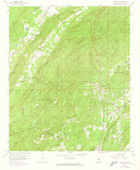
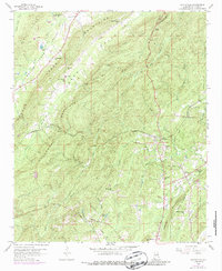
Editions of this 1958 Wattsville Map
4 editions found
Other maps of this area

1889 · Springville
USGS Topo · 1:125,000

1892 · Springville
USGS Topo · 1:125,000

1947 · Cox Gap
USGS Topo · 1:24,000

1947 · Ragland
USGS Topo · 1:62,500

1947 · Ragland
USGS Topo · 1:24,000

1947 · Riverside
USGS Topo · 1:24,000

1947 · Steele
USGS Topo · 1:62,500

1953 · Birmingham
USGS Topo · 1:250,000

1956 · Birmingham
USGS Topo · 1:250,000

1957 · Birmingham
USGS Topo · 1:250,000