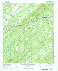
1962 Map of Cooks Springs
USGS Topo · Published 1984About this map
Oak Mountain and Cahaba Ridge dominate this section of the St. Clair and Shelby county border, where the industrial and social landscape of the early 1960s is meticulously recorded. The Southern Railway cuts through the northern terrain, passing through the Cooks Springs Tunnel near the settlement of Cooks Springs. Local history is anchored by community landmarks such as Taylors Ch, Stewarts Cem, and the St Clair Nursing Home.
Find a feature on this map
83 named features on this map. Tap any name to fly to it.
Don’t see what you’re looking for? This feature index may not catch every label — zoom into the map to look around manually.
Map Details
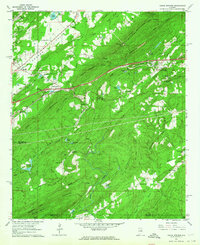
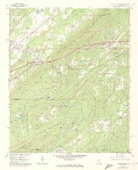
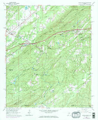
Editions of this 1962 Cooks Springs Map
4 editions found
Other maps of this area

1889 · Springville
USGS Topo · 1:125,000

1889 · Birmingham
USGS Topo · 1:125,000

1890 · Bessemer
USGS Topo · 1:125,000

1890 · Talladega
USGS Topo · 1:125,000

1892 · Birmingham
USGS Topo · 1:125,000

1892 · Springville
USGS Topo · 1:125,000

1892 · Talladega
USGS Topo · 1:125,000

1892 · Bessemer
USGS Topo · 1:125,000

1895 · Birmingham
USGS Topo · 1:125,000

1905 · Leeds
USGS Topo · 1:62,500