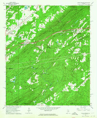
1962 Map of Cooks Springs
USGS Topo · Published 1964About this map
Oak Mountain and Backbone Mountain dominate the physical landscape of this St. Clair County corridor in the early 1960s, a region defined by its prominent ridges and the transportation routes that navigate between them. The Southern Railway cuts through the center of the sheet, connecting settlements like Brompton and Cooks Springs as it follows the valley floor. To the north, the community of Acmar sits near several resource extraction sites including a Gravel Pit and Quarry, reflecting the area's industrial character.
Find a feature on this map
70 named features on this map. Tap any name to fly to it.
Don’t see what you’re looking for? This feature index may not catch every label — zoom into the map to look around manually.
Map Details
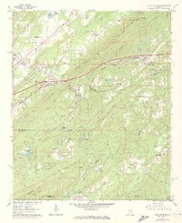
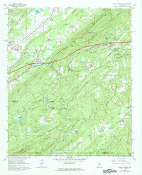
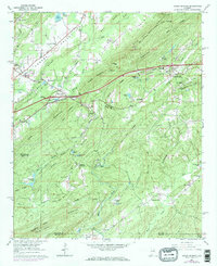
Editions of this 1962 Cooks Springs Map
4 editions found
Other maps of this area

1889 · Springville
USGS Topo · 1:125,000

1889 · Birmingham
USGS Topo · 1:125,000

1890 · Bessemer
USGS Topo · 1:125,000

1890 · Talladega
USGS Topo · 1:125,000

1892 · Birmingham
USGS Topo · 1:125,000

1892 · Springville
USGS Topo · 1:125,000

1892 · Talladega
USGS Topo · 1:125,000

1892 · Bessemer
USGS Topo · 1:125,000

1895 · Birmingham
USGS Topo · 1:125,000

1905 · Leeds
USGS Topo · 1:62,500