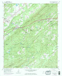
1962 Map of Cooks Springs
USGS Topo · Published 1984About this map
Southern Railway tracks parallel the undulating ridges of St. Clair and Shelby counties, connecting early mountain communities during a period of mid-century growth. The terrain is defined by prominent elevations such as Bald Rock Mountain and Taylors Mountain, which create natural corridors for infrastructure like the pipeline and telephone lines that traverse the gaps. Local heritage is evident in family-named landmarks and rural centers like Stewarts Crossroads and Brompton.
Find a feature on this map
80 named features on this map. Tap any name to fly to it.
Don’t see what you’re looking for? This feature index may not catch every label — zoom into the map to look around manually.
Map Details
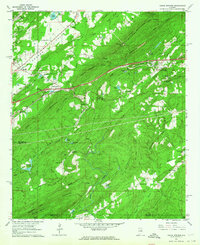
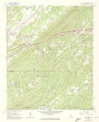
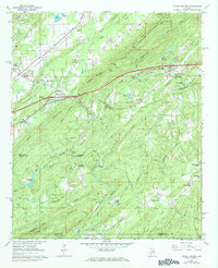
Editions of this 1962 Cooks Springs Map
4 editions found
Other maps of this area

1889 · Springville
USGS Topo · 1:125,000

1889 · Birmingham
USGS Topo · 1:125,000

1890 · Bessemer
USGS Topo · 1:125,000

1890 · Talladega
USGS Topo · 1:125,000

1892 · Birmingham
USGS Topo · 1:125,000

1892 · Springville
USGS Topo · 1:125,000

1892 · Talladega
USGS Topo · 1:125,000

1892 · Bessemer
USGS Topo · 1:125,000

1895 · Birmingham
USGS Topo · 1:125,000

1905 · Leeds
USGS Topo · 1:62,500