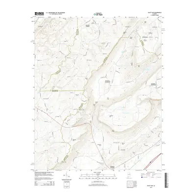
2014 Map of Hyatt Gap
USGS Topo · Published 2014About this map
Moodys Chapel and Whitney Junction anchor this part of Northeast Alabama where the borders of Blount, Etowah, and St. Clair counties meet. The landscape is defined by the sharp ridges of Straight Mtn, Blount Mtn, and Chandler Mountain, creating a series of narrow valleys and natural passes like Battle Gap and Hathcock Gap. These gaps historically dictated the flow of travel and settlement, concentrating rural activity around points like Ferguson Crossroad.
Find a feature on this map
115 named features on this map. Tap any name to fly to it.
Don’t see what you’re looking for? This feature index may not catch every label — zoom into the map to look around manually.
Map Details
Editions of this 2014 Hyatt Gap Map
This is the sole edition of this map. No revisions or reprints were ever made.
Other maps of this area

1885 · Gadsden
USGS Topo · 1:125,000

1888 · Gadsden
USGS Topo · 1:125,000

1889 · Springville
USGS Topo · 1:125,000

1892 · Springville
USGS Topo · 1:125,000

1892 · Gadsden
USGS Topo · 1:125,000

1895 · Gadsden
USGS Topo · 1:125,000

1903 · Gadsden
USGS Topo · 1:125,000

1947 · Cox Gap
USGS Topo · 1:24,000

1947 · Steele
USGS Topo · 1:24,000

1947 · Steele
USGS Topo · 1:62,500