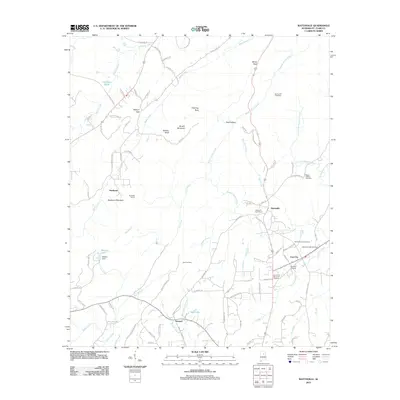
2011 Map of Wattsville
USGS Topo · Published 2011About this map
Wattsville and Coal City center this St. Clair County landscape, which is defined by the complex drainage systems of Broken Arrow Creek and Shoal Creek. The topography is marked by significant physical landmarks including the prominent Backbone Mountain and Bowlin Mountain, alongside distinctive geological formations like Chimney Rock and Moon Rock. To the west, the engineering of the Hardwick Tunnel near Hardwick indicates the historical infrastructure required to navigate this varied terrain.
Find a feature on this map
102 named features on this map. Tap any name to fly to it.
Don’t see what you’re looking for? This feature index may not catch every label — zoom into the map to look around manually.
Map Details
Editions of this 2011 Wattsville Map
This is the sole edition of this map. No revisions or reprints were ever made.
Other maps of this area

1889 · Springville
USGS Topo · 1:125,000

1892 · Springville
USGS Topo · 1:125,000

1947 · Cox Gap
USGS Topo · 1:24,000

1947 · Ragland
USGS Topo · 1:62,500

1947 · Ragland
USGS Topo · 1:24,000

1947 · Riverside
USGS Topo · 1:24,000

1947 · Steele
USGS Topo · 1:62,500

1953 · Birmingham
USGS Topo · 1:250,000

1956 · Birmingham
USGS Topo · 1:250,000

1957 · Birmingham
USGS Topo · 1:250,000