2020s Maps of Ragland, Alabama
Explore 8 historic maps of Ragland from the 2020s. These maps offer a rare glimpse into what life looked like during the 2020s — showing old roads, neighborhoods, homes, and landmarks that have changed or disappeared over time.
Whether you're researching your family's past, planning a metal detecting trip, or studying how Ragland's landscape evolved across the 2020s, these high-resolution maps are a powerful tool for exploring the history of this region.
- Focus on a specific era: All maps on this page are from the 2020s, giving you a focused view of this time period.
- See what’s changed: Compare century-old streets, trails, and buildings to today's modern landscape using overlays and satellite layers.
- Research with precision: Use these maps for genealogy, historical research, land use analysis, or educational projects.
- View, download, or print: Maps are fully viewable online in high resolution, and can be downloaded or printed for your own records.
Start exploring Ragland's history through authentic maps from the 2020s. This is your window into the past.
Ragland, AL maps
(8)- 2020 Map of Ohatchee, 2020 Print
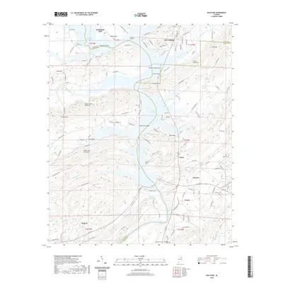 2020 Ohatchee2020 Print · USGSCovers Ragland, including Rainbow City, Southside, and other nearby areas
 - 2020 Map of Francis Mill, 2020 Print
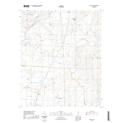 2020 Francis Mill2020 Print · USGSCovers Ragland, including Lincoln, Ohatchee, and other nearby areas
 - 2020 Map of Ragland, 2020 Print
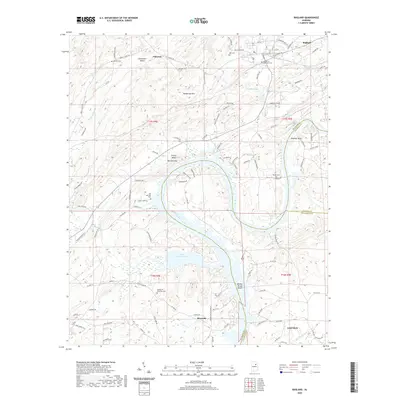 2020 Ragland2020 Print · USGSCovers Ragland, including Lincoln, Riverside, and other nearby areas
 - 2020 Map of Cox Gap, 2020 Print
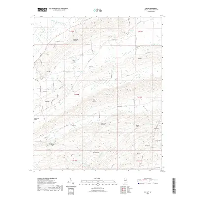 2020 Cox Gap2020 Print · USGSCovers Ragland, including Ashville, St. Clair County, and other nearby areas
 - 2024 Map of Ragland, 2024 Print
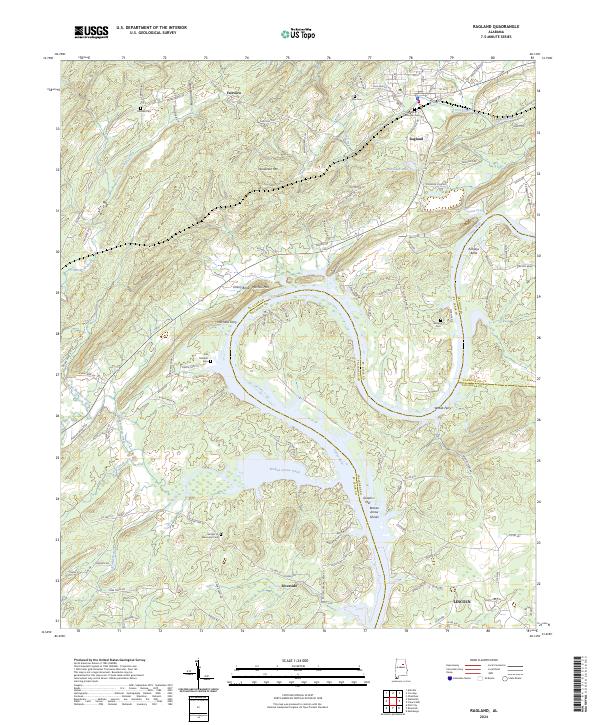 2024 Ragland2024 Print · USGSThe Coosa River valley in Alabama is shown here during a period of modern transit and enduring rural landmarks. Genealogists and local historians can trace the locations of Mitchells Ferry, the industrial site at Greens Mill, and family burial grounds like Wester Cem.
 - 2024 Map of Francis Mill, 2024 Print
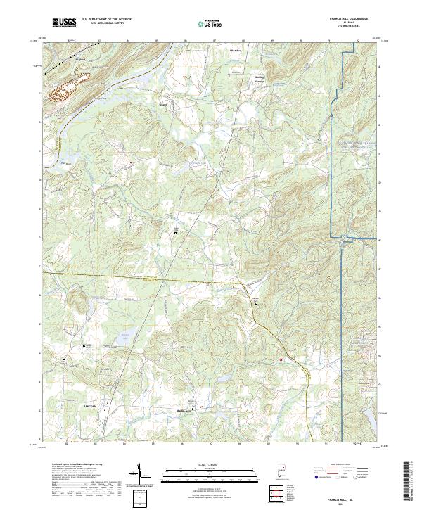 2024 Francis Mill2024 Print · USGSThe Coosa River and eastern military ranges frame this Alabama landscape in the early 2020s. Researchers can trace local heritage through landmarks like Martins Mill, the Refuge Baptist Church Cem, and the historic crossing at Fombys Ferry.
 - 2024 Map of Cox Gap, 2024 Print
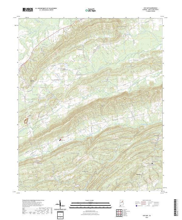 2024 Cox Gap2024 Print · USGSSt. Clair County in the modern era shows a landscape where deep-rooted communities like Ashville and Ragland are bound by the Appalachian ridges. Genealogists and researchers can locate Bethany Cem, Looney Gap, and family landmarks along the Slash Ham Valley.
 - 2024 Map of Ohatchee, 2024 Print
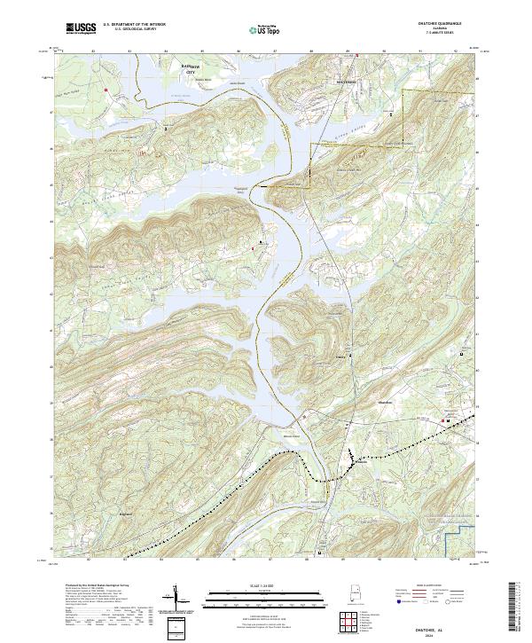 2024 Ohatchee2024 Print · USGSNortheast Alabama’s river valleys and ridgelines are shown here in modern detail, where the Coosa River flows between the Beaver Creek Mountains and Shoal Creek Mountains. Genealogists can locate legacy sites like Ten Island Cem, the Greensport Ferry crossing, and the settlement of Ottery.
End of results
Showing maps 1-8 of 8
Top cities near Ragland
- Gadsden historical maps
- Oxford historical maps
- Anniston historical maps
- Pell City historical maps
- Rainbow City historical maps
- Southside historical maps
See more
Frequently asked questions
- What are the different types of historical maps available for Ragland?
- What is the oldest map of Ragland?
- Where can I purchase historical maps of Ragland for my home or office?
- Where can I download high-res historical maps of Ragland?
- Are there historical topographic maps available for Ragland?
- Is there historical aerial imagery available for Ragland?
- Where are historical maps of Ragland sourced from?