2020s Maps of York, Alabama
Explore 4 historic maps of York from the 2020s. These maps offer a rare glimpse into what life looked like during the 2020s — showing old roads, neighborhoods, homes, and landmarks that have changed or disappeared over time.
Whether you're researching your family's past, planning a metal detecting trip, or studying how York's landscape evolved across the 2020s, these high-resolution maps are a powerful tool for exploring the history of this region.
- Focus on a specific era: All maps on this page are from the 2020s, giving you a focused view of this time period.
- See what’s changed: Compare century-old streets, trails, and buildings to today's modern landscape using overlays and satellite layers.
- Research with precision: Use these maps for genealogy, historical research, land use analysis, or educational projects.
- View, download, or print: Maps are fully viewable online in high resolution, and can be downloaded or printed for your own records.
Start exploring York's history through authentic maps from the 2020s. This is your window into the past.
York, AL maps
(4)- 2020 Map of York, 2020 Print
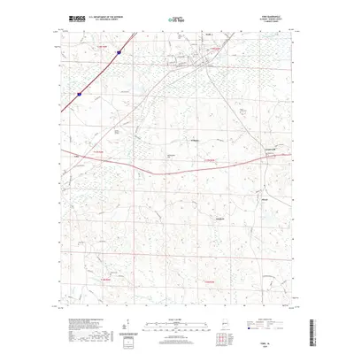 2020 York2020 Print · USGSCovers York, including Cuba, Scratch Hill, and other nearby areas
 - 2020 Map of Boyd, 2020 Print
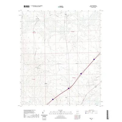 2020 Boyd2020 Print · USGSCovers York, including Payneville, Boyd, and other nearby areas
 - 2024 Map of York, 2024 Print
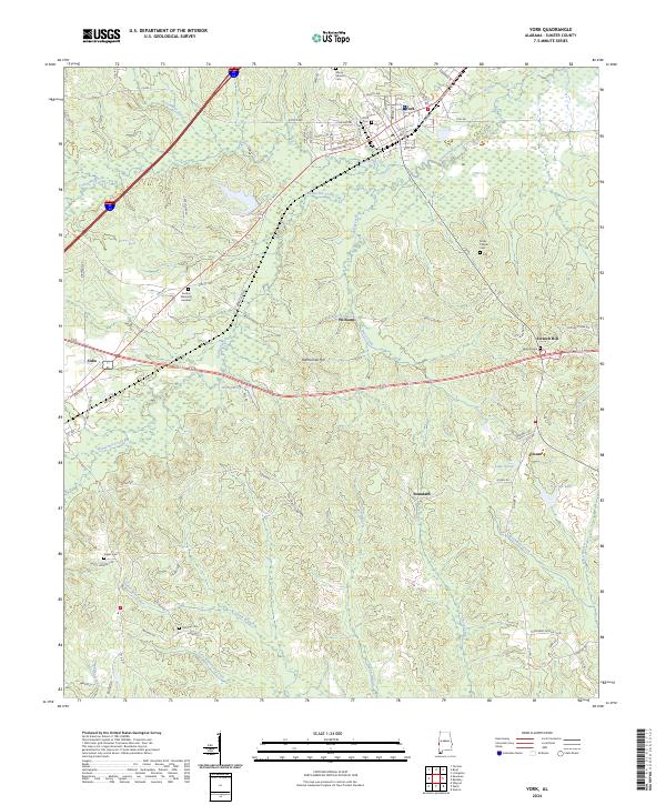 2024 York2024 Print · USGSSumter County at the modern day reveals a landscape of enduring rural settlements and intricate waterways. Genealogists can trace family footprints at York Cem, McElroy Cem, and the small community of Scratch Hill near the winding Brockway Creek.
 - 2024 Map of Boyd, 2024 Print
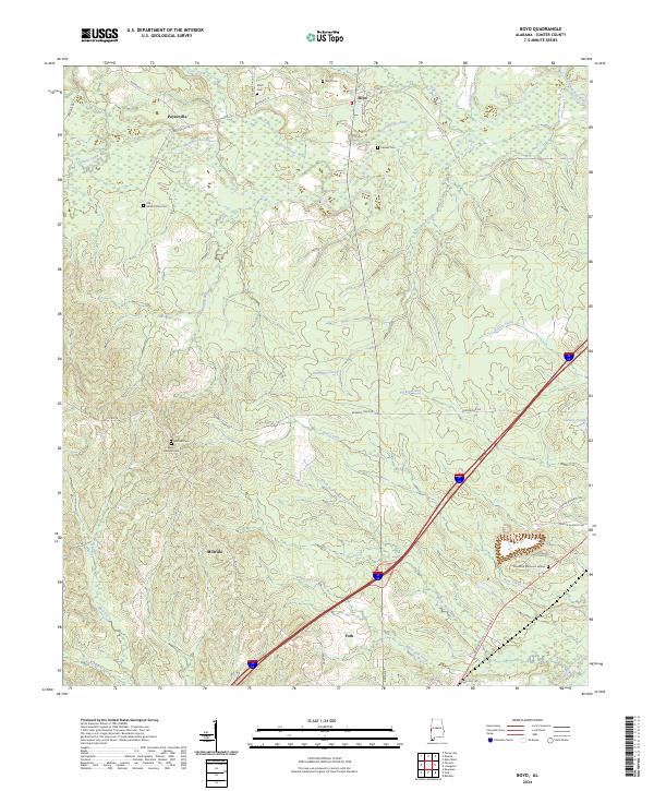 2024 Boyd2024 Print · USGSThe rural landscapes of western Sumter County come to life in this contemporary survey of the area surrounding the northern outskirts of York. Local historians can trace family roots at Elliott Cem and Mount Olive Cem or follow the winding Sucarnoochee River.
End of results
Showing maps 1-4 of 4
Top cities near York
- Livingston historical maps
- Bellamy historical maps
- Cuba historical maps
- Epes historical maps
- Emelle historical maps
Frequently asked questions
- What are the different types of historical maps available for York?
- What is the oldest map of York?
- Where can I purchase historical maps of York for my home or office?
- Where can I download high-res historical maps of York?
- Are there historical topographic maps available for York?
- Is there historical aerial imagery available for York?
- Where are historical maps of York sourced from?